Two Lakes

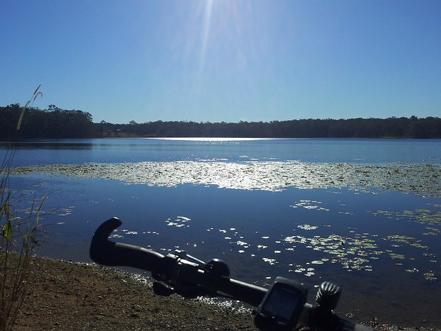
We’re lucky to live near two artificial lakes: Lake Kurwongbah which was created when Sideling Creek was dammed in 1955, and Lake Samsonvale which was created when the North Pine River was dammed in 1968.

I love riding the bike by these large bodies of water.
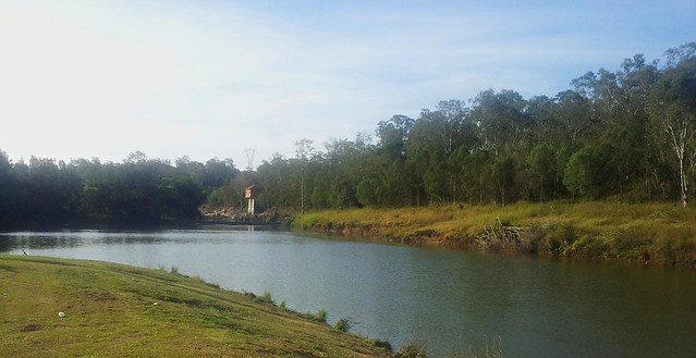
Pump House - North Pine River
The Pump House was built in 1955 as part of the construction of the Lake Kurwongbah Dam. It pumps water uphill into Lake Kurwongbah from the North Pine River to keep the Dam topped up.

Lake Kurwongbah was oriiginally built to supply water to the Australian Paper Manufacturers (APM) Petrie Mill – now known as the Amcor Cartonboard Petrie Mill.

Today if you walk along the Dam Wall at Kurwongbah you’ll often see a mass of air bubbling up to the lake surface. This is because the Pump House is operating, transferring water into Lake Kurwongbah. (It’s also a good reason not to swim in the river near the Pump House!)

[Source: “Pioneering the Pine”, Leith Barter. 2005]

Pelican - Lake Samsonvale

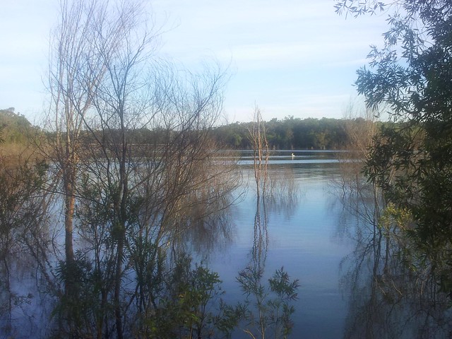
If you look carefully you can see a pelican drifting on Lake Samsonvale. I watched this one gliding in like a strangely shaped flying boat from years gone by.

Sunset - Lke Samsonvale

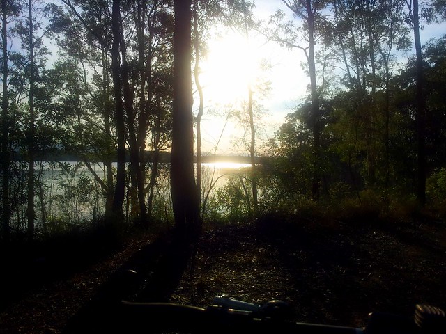
It doesn’t get much better than this! There are a lot worse things you could do than wander along the shoreline of Lake Samsonvale 🙂

Total distance: 23.66 km
Total climbing: 305 m
Average temperature: NAN
Total time: 01:34:12
Download file: activity_110239829.gpx
More data

Slaying Hills

The ride today started out as an experiment to see how long it took to ride from home to Ferny Grove via Bunyaville. (An hour as it turns out). But after that it turned into a hillfest. I decided to pit myself against the short-steep climb up Camp Mountain. In the past I was intimidated by it, but today I gave it my all, and surprised myself by conquering the hill.

Camp MountainCamp Mountain

I was yelling at myself towards the end (I must have sounded crazy) “Get Up!” “Come on!” “Go!”. And it seemed to work. I gave it everything I had, and nailed that monster of a hill for the first time. It feels fantastic to slay a big hill – doing something that you thought you might not have been able to do.

From there I headed up the mountain towards Scrub Road….
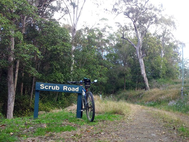
Scrub Road
Scrub Road

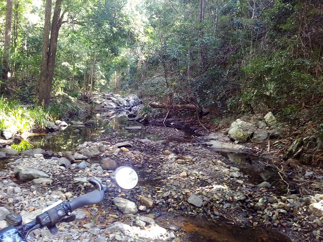
Scrub Road is an easy way to get from the bitumen on Mount Nebo Road, into the Forest. It’s a fairly steep descent down to the pretty creek, and then a long slow climb up to the shelter and water tank on South Boundary Road.

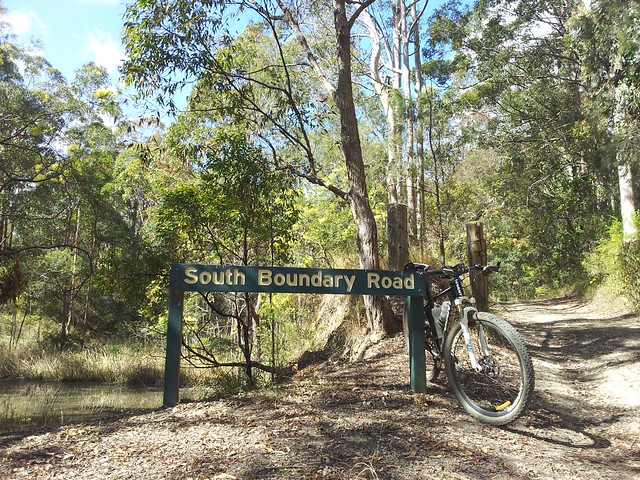
South Boundary Road

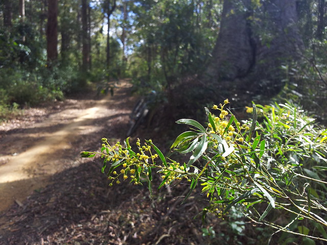
The wattle blossoms on South Boundary Road look beautiful, and smell fantastic.

South Boundary Road
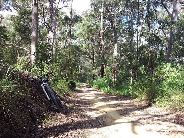
South Boundary Road

South Boundary Road runs from Mount Nebo down almost to The Gap.

It has some fun smooth descents, beautiful forests and raucous birds.

I always love riding this trail.

All up, 80km, 4,700kcal, and about 1,600m of ascent. On the tough-o-metre, this one gets 9 out of 10 because of the distance, and the climb up Camp Mountain.

Total distance: 80.12 km
Total climbing: 1666 m
Average temperature: NAN
Total time: 06:35:13
Download file: activity_106036453.gpx
More data
Dams and Rivers

There are two dams near here: Lake Samsonvale, built on the North Pine River; and Lake Kurwongbah built on Sideling Creek.

In the past I lamented the local history that was lost under the water of the dams, but in today’s late winter weather, I delighted in the beauty of the lakes.
Lake Kurwongbah
“Kurwongbah” was the name the Turrbal people gave to Sideling Creek. It was dammed in the 1970’s to provide water for the local paper plant. The authorities named the resultant lake “Kurwongbah” as well.

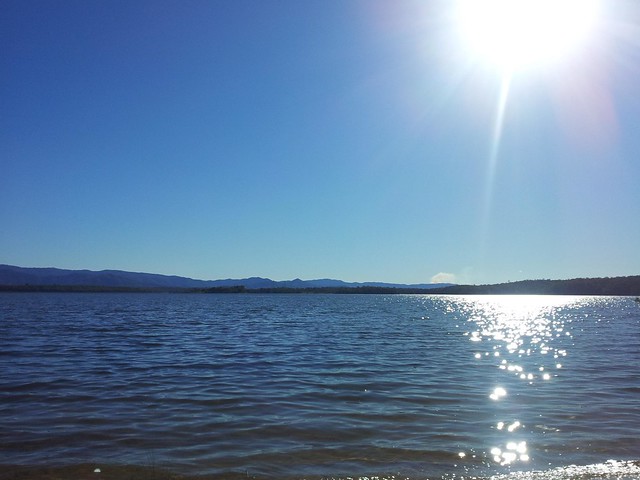
Lake Samsonvale
Lake Samsonvale, looking west towards Mount Samson and the D’Aguilar Ranges.

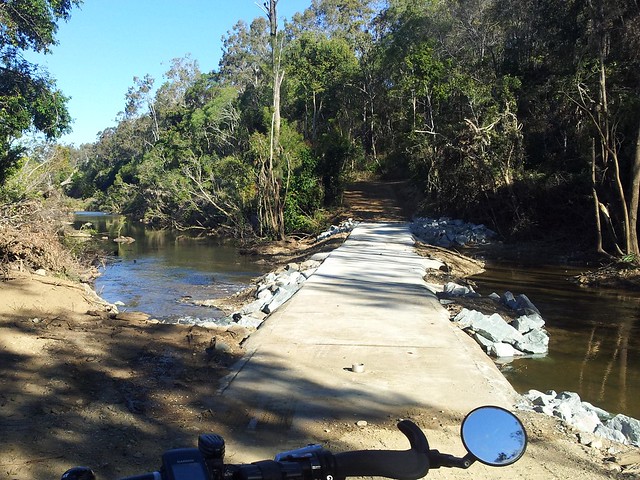
Causeway - North Pine River
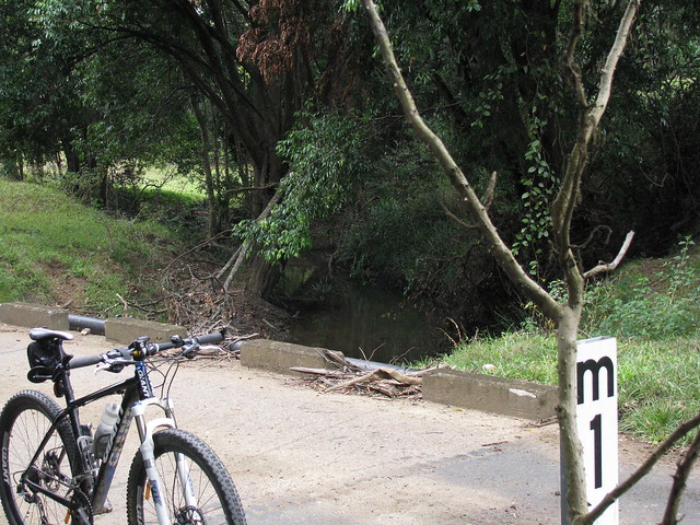
This pedestrian river crossing was washed away by the January Floods, and has only recently been repaired. It’s a pleasant way to get across the river from the Pine Rivers Pony Club up to Camp Warrawee. To whoever fixed it, thank you!

I’m so grateful to live in such a beautiful place.

Freshwater Turtle

Freshwater Turtle
Freshwater TurtleFreshwater Turtle

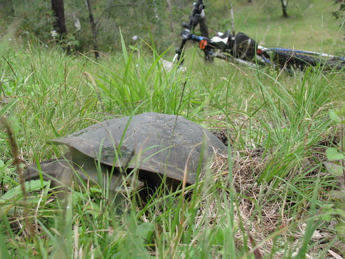
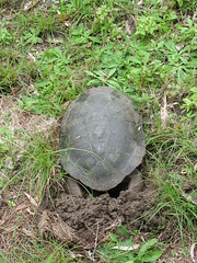
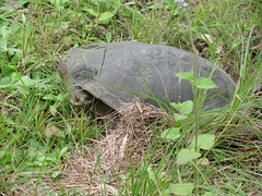
While riding by Lake Samsonvale today I was delighted to come across this female Freshwater Turtle digging a hole to lay eggs.

The burrow was about 30 to 40m above the shoreline, so she’d come a long way to dig the hole.

She was about 30cm in size, and had dug a 30cm hole for her eggs.

As I approached, she just froze and looked at me as if to say "Can’t a girl have some privacy?"

So I took a few photos and moved on, feeling very privileged.

Today was just a short ride as Liz and I are going to spend a few hours at GOMA this afternoon 🙂

Total distance: 26.1 km
Total climbing: 530 m
Average temperature: NAN
Total time: 02:13:22
Download file: activity_99405477.gpx
More data

Dayboro

I spent a few hours exploring out the back of Dayboro today. It’s a delightful town surrounded by green farms, areas of thick bush, and a backdrop of imposing mountains.

Terrors Creek


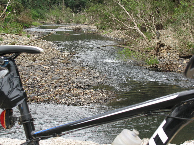
A causeway over Terrors creek, south of Dayboro.

According to local historian, Leith Barter, the creek was named after “Terah” – a grey Arab stallion owned in the 1850’s by Captain John Griffin of the Whiteside Run. In fact the whole area at one time was called “Terrors Creek” but the local postmaster didn’t like the name, saying it sounded too much like “Torrens Creek” so the name changed. The only authentic spelling of the name “Terah” I can find in town is the restaurant “Terah’s” on the main drag. I expect you wouldn’t get far naming a restaurant “Terror’s” would you?

Railway Remnants
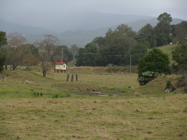
The wooden pylons are remnants of a bridge that was part of the old railway line between Dayboro and Ferny Grove.

I think the funny looking hut with cream paint and a red roof is related to the old railway line but I’m not sure.

You can read more about my exploration of this railway line here.

Lees Crossing
Lees Crossing
A causeway at Lees Crossing across the North Pine River just out of Dayboro.

Woodward Road, Dayboro
I followed Woodward road to see where it ended up, and discovered some steep hills, friendly people and great views along the way.

This old road actually used to lead from Dayboro to Esk over the D’Aguilar range.

I’m hoping to see if I can retrace it sometime in the next couple of months – at least as far as the top of the range.

Self-repairing tyres
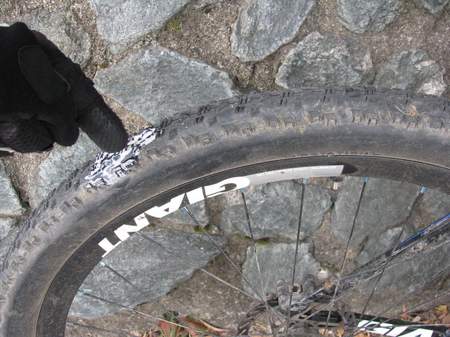
On the way back I ran over some glass which cut my tyre. Tubeless sealant sprayed everywhere, but after about 5 minutes it sealed up of its own accord, and I was able to pump it up and keep riding.

I originally took this pic as a mental note so I knew where to check for damage when I got home (it’s a new tyre), but I thought it was pretty cool to demonstrate the way the tubeless system works.

I think I’ll dab some “Shoe goo” on the scratch from the outside and top up the sealant. Hopefully the tear will stay fixed. Thank goodness for “Stans No-Tubes”!

All up about 39km with about 770m of climbing, and 1900cal. 6 out of 10 for toughness (It was pretty short, and the only steep climbs were on bitumen). I’ll be back to explore this area again!

Total distance: 39.77 km
Total climbing: 825 m
Average temperature: NAN
Total time: 03:15:13
Download file: activity_96404469.gpx
More data

D’Aguilar National Park

D’Aguilar National Park is spectacular – even on a bleak. cool, cloudy day like it was today.

I rode up “The Goat Track” headed for Mount Glorious, then set off down Joyners Ridge Road.
Joyners Ridge Road
The cool rainforest at the top of Joyners Ridge Road at Mount Glorious is a delight to roll through on the bike.

All up it’s about a 10km descent to the South Branch of England Creek at the bottom. Enjoy the descent, because once you get to the bottom of the hills, you have to go up!

Goodes Road
Goodes Road is a steep fire trail that climbs 550m in 5km from England Creek back up to Mount Glorious.

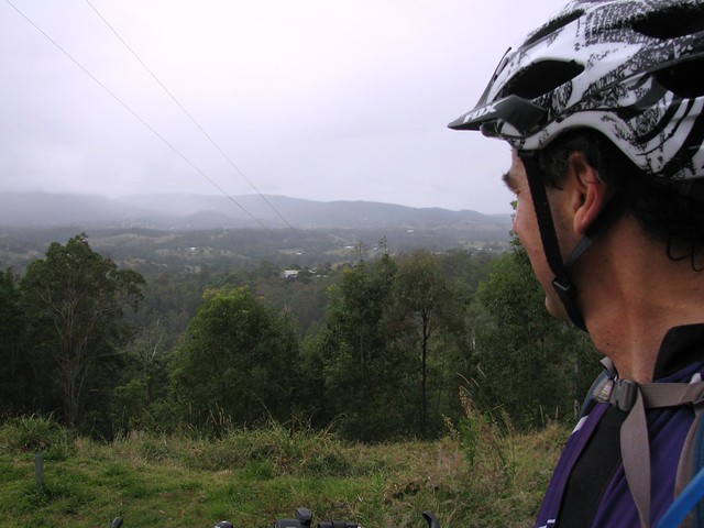
I must confess I took this photo, not because I was impressed with the view, but because I needed a rest.

That climb is hard work!

In hindsight, the view is pretty good too 🙂
Tree Swallows SignTree Swallows Sign (Close up)
At the top of Goodes Road there’s a strange looking spotted gum that has a couple of signs on it.

The strange thing is that it looks like it has grown over one of the signs so all that’s left is a square “lump” in the trees “throat”.

Dare we hope that the trees are taking over?
Dundas Road
Once I managed to climb back up to the top of the hill, Dundas Road provided a really pleasant ride along the ridge top back to Mount Glorious.

This is a fun ride after the hard work of the climb – quick easy trails that wind through the rainforest, with Bellbirds tinkling in the background.

All up this ride was just over 35km, with 1240m of ascent and almost 3,000 kcal. It was hard work, but a lot of fun!

Total distance: 35.03 km
Total climbing: 1271 m
Average temperature: NAN
Total time: 03:41:51
Download file: activity_91502291.gpx
More data

Clear Mountain Hill Climb

One of my favourite mountain bike challenges is climbing some hills in Clear Mountain State Forest.

It’s a beautiful spot with a few creeks winding through it, tinkling Bellbird calls, and lots of different Eucalypts. But the hills are steep, and often muddy. It’s a test of strength and technical ability to climb them, which is why I keep coming back. There’s always another hill to try and beat.

This afternoon I took Liz’s camera, put it on the ground at strategic spots, and filmed myself riding by. But this time I passed some women hiking through the forest. I didn’t want them to think I was doing anything creepy with the camera in the forest, so I explained what I was trying to do. They kindly offered to help me film the hill climbs, and this video is the result.

I didn’t realize till I got home that while my back was turned they added some funny extra footage of their own.

Thank you, strange ladies of the forest. It was fun having spectators watch me have a go at these hills – even if I did conk out on the last hill!

Total distance: 32.34 km
Total climbing: 579 m
Average temperature:
Total time: 02:43:49
Download file: activity_89377585.gpx
More data
Missed it by “This Much”

Last year I tried to ride to Dianas Bath. Today I thought I’d give it another go.
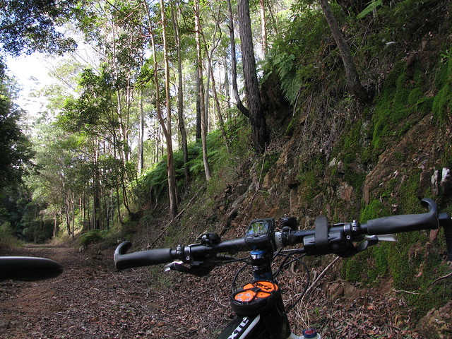
Road through the Rainforest
Diana’s Bath is a beautiful rock pool on Byron Creek in the D’Aguilar Ranges. It’s secluded, hard to get to, and picturesque. You can drive there in a 2wd car from the west via Esk. You can get there via 4wd and a bit of a hike over the mountains from the East. So I thought I’d (again) try to get there from the east via Dayboro.

I drove to the foot of the mountains, and rode from there, rather that riding from home – saving me about 60km. The ride starts with a 200m ascent in less than 2km. It’s a tough climb but if you sit back and work hard, it’s do-able. The views at the top of the hill are worth the climb:
Looking EastGrevilieas

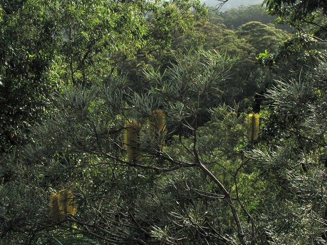
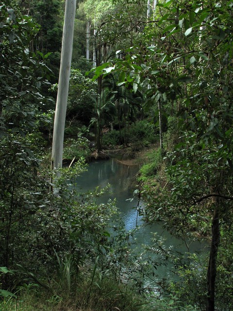
Then there’s some fun downhill, and bouncing along the creek beds. Byron Creek is really pretty. The water actually looks a light cloudy blue colour. I don’t know whether it’s sediment, or something in the water, but it’s amazing to see. The banks of the creek are fringed with palm trees and rainforest vegetation, and there’s a continuous sound of Bellbirds and Whipbirds ringing in the air.
Byron Creek

Byron CreekByron Creek

Eventually you have to do another 200m ascent, but this time it’s in about 1.5km along Diana’s Bath Road. I think they should rename this road “Heart Break Hill” because you need to be totally committed to be able to ride to the top.
Taking "A Break"
When I got to the top, I saw a sign which said “A Break” – so I thought – why not? 🙂

In the middle of nowhere

I followed the road as far as I could and eventually it disappeared into lantana and weeds. So I decided to play it safe and turn around. I wasn’t going to get to Diana’s Bath today.

It was only when I got home and checked out the track log that I realized I had gotten to within 100 metres of Diana’s Bath, but didn’t realize it at the time. So I think it’ll be a case of “Third Time Lucky”. Perhaps I’ll take a long-suffering friend with me next time for my final assault on this elusive part of the world!

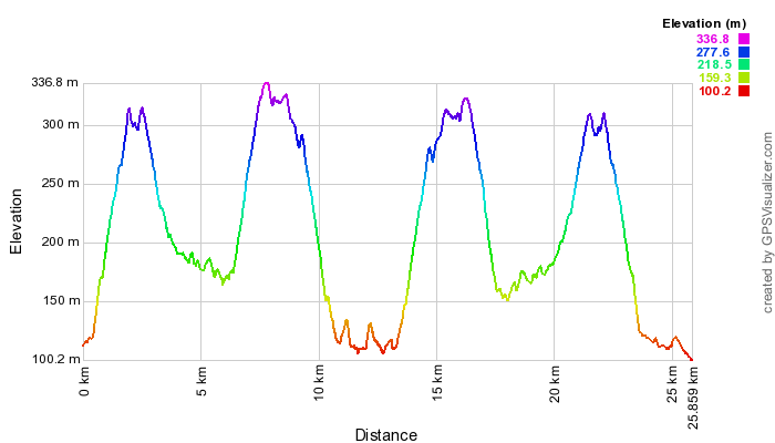
All up, about 1,000m of ascent in 25km, and about 3,000cal. Very hard work. Some of the ride was flat, but when you consider that I came and went on the same track, and if you subtract a few km for the flat bits, that works out to 10km of 10% climbs, 10km of 10% downhills, and 5km of bumpy creek beds.
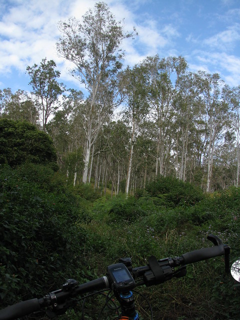
Eucalyptus Trees

Total distance: 25.98 km
Total climbing: 1010 m
Average temperature: NAN
Total time: 03:51:01
Download file: activity_86919315.gpx
More data