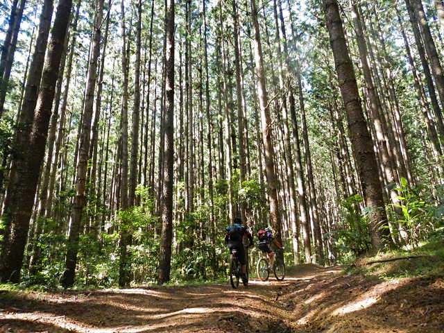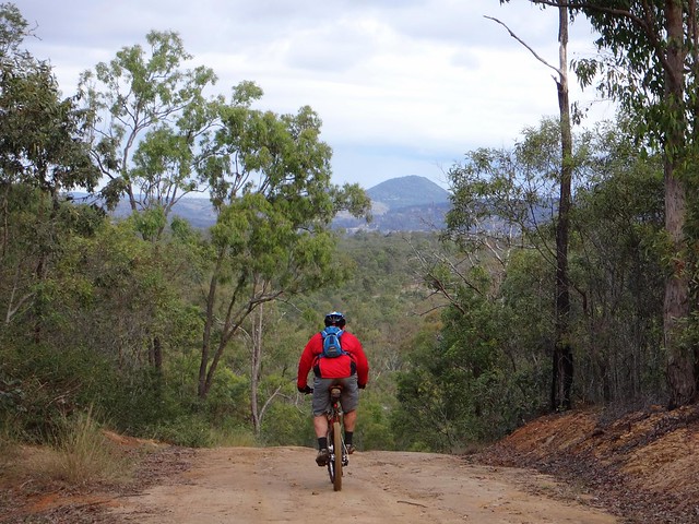
Toowoomba

Stevens Road
Eric and I had a couple of objectives today:

I had a few gaps in my Ride Network Map which I wanted to fill in. We’ve done a few rides in this area recently, and it would be satisfying to link them all up.

Also, Eric wanted to check out a few tracks near Toowoomba to help him plan an off-road route from Brisbane to Toowoomba.
Ready, Set....Tabletop
Jaime from Toowoomba Mountain Bike Club kindly agreed to join us for the ride. When exploring new areas, it’s always helpful to bring a local 🙂

We started our adventure at Withcott – a small town at the bottom of the Great Dividing Range. While heavy traffic whizzes through here trying to pick up speed before climbing up the hill to Toowoomba, our plan was for quieter trails. We rode south from Withcott up some quiet back streets towards Tabletop Mountain. Berghoffer Drive and Tabletop Road are very steep paved roads. If you’re interested, have a look at the Google Street View link here. We slowly ground our way to the top of the road, wondering what we had got ourselves into.
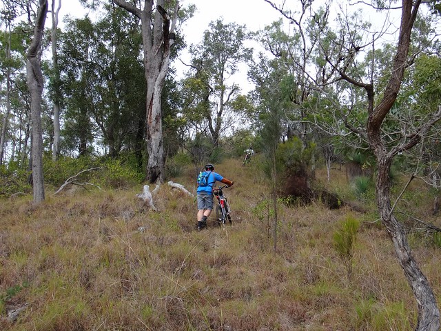
Up, Up, Up
But as any seasoned Mountain Biker will tell you (especially if Road Bike riders are within ear-shot), paved roads, even steep ones, are nothing compared to the challenge of off-road climbs.
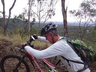
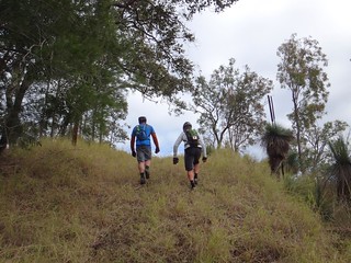
Up, Up, UpUp, Up, Up
We slowly climbed up the range – sometimes pedalling, mostly pushing our bikes upwards.
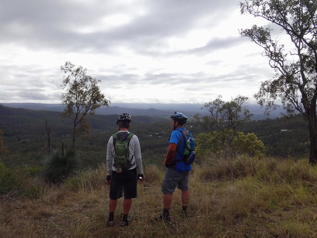
Enjoying the View
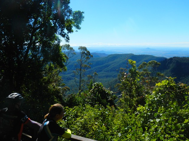
The views to the east were delightful.

East Street ToowoombaEast Street Toowoomba

My brother-in-law, Paul, lives in Toowoomba, and met us at the top. We carefully scurried across the busy Warrego Highway at the top of the Range and made our way towards Jubilee Park.
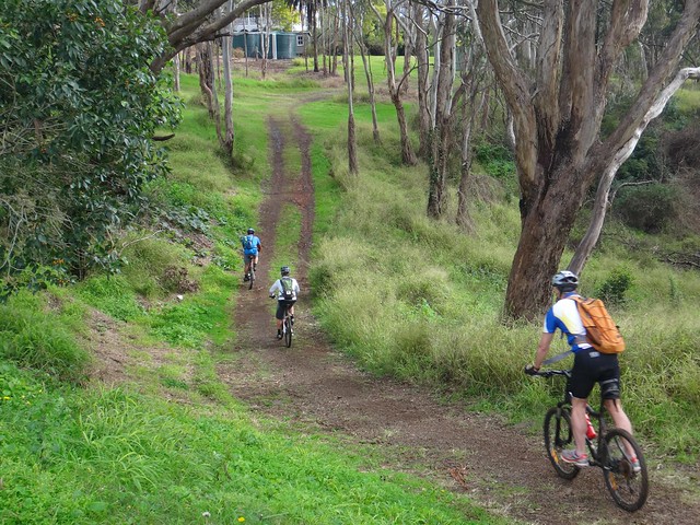
Bridle Trail - Jubilee Park
Jubilee Park is a mixed-use reserve which sits on the edge of the mountain stretching down the hill from Prince Henry Heights and Mount Lofty towards Withcott.
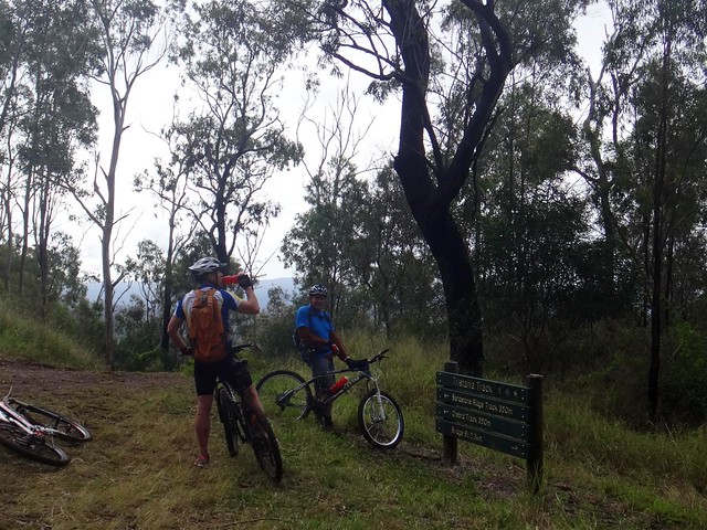
Track Sign
It boasts a variety of single tracks downhill runs, and a “bridle trail”. Because of recent rain, we decided to avoid the single tracks, and rolled down the hill along the bridle trail.
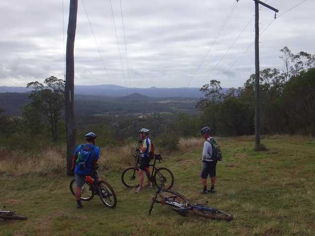
Powerline Track
We had more great views on the way down, but the sticky mud quickly collected on my wheels and totally clogged them up. I had to pull out handfulls of mud from the wheel arches and chain stays just so I could get the wheels turning again.

Picnic Shelter - Jubilee ParkPaul

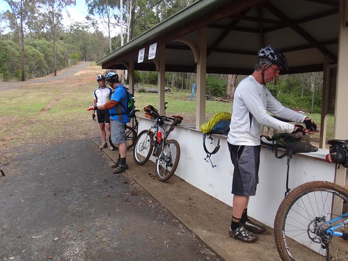
When we reached the bottom we took a few minutes out at the picnic shelter to scrape off the rest of the mud and prepare for the next big climb. I was a bit worried about Paul. He had only ridden a bike once in the last year because of an injury, and I wasn’t sure how he’d cope with the next bunch of steep muddy hills.
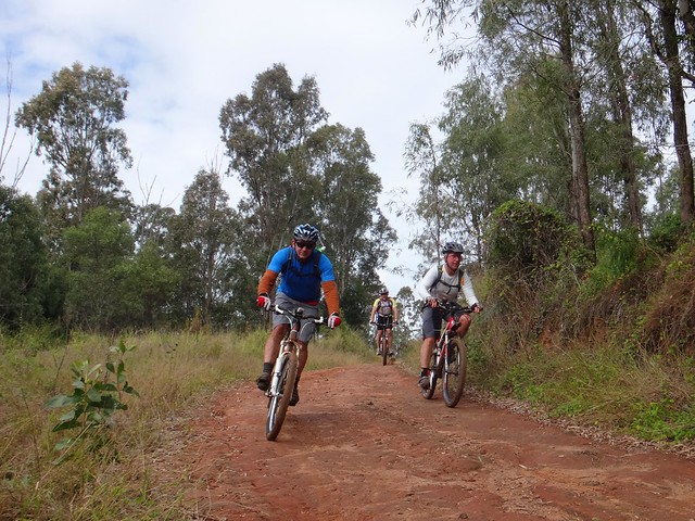
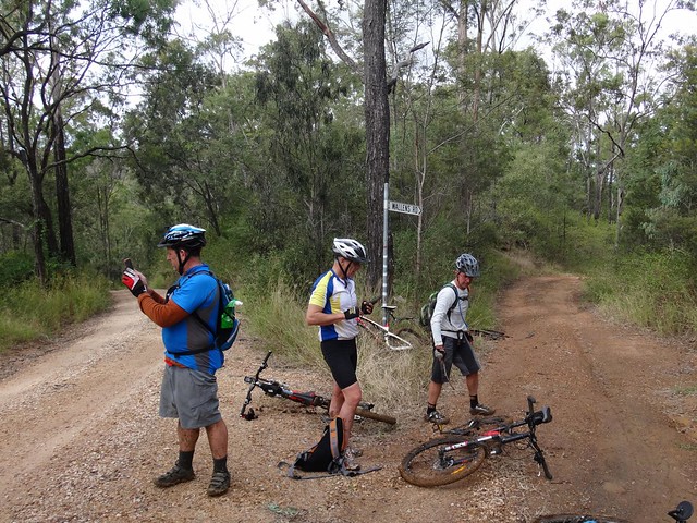
Wallens Road
Wallens Road winds back up the range from Withcott to the railway siding at Ballard. There are very few flat sections. It’s all either uphill or down. In wet weather, most of it is muddy.
Ballard
We slid down several precipitous slippery tracks, and heaved the bikes up some equally challenging slopes before finally emerging to the luxury of reasonably graded dirt road. Jaime assured us we were only 15 minutes away from our lunch stop at Spring Bluff, so Paul put in a quick call to Karen to drive down to pick him up and meet us for lunch.

Well Done Paul!
The short drive up to Spring Bluff Railway Station involves a nasty little 25% climb. The thought of lunch kept us turning the pedals. Paul had an added incentive as Karen was watching. Well done, Paul. That was a great effort for someone who hasn’t been on the bike much lately.

Spring Bluff Cafe
Eric often says “Hunger makes the best sauce”. I agreed with him as I inhaled my delicious burger.
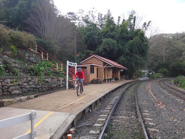
Spring Bluff Railway Station
The railway line up the Main Range was constructed between 1864 and 1867. Highfields Railway Station was important because it served as a watering stop for locomotives struggling up the range, and was a loading point for Timber and Dairy products from the Highfields area. Railway Commissioner Gray was particularly fond of the area, and renamed it “Spring Bluff” in 1890. In its heyday in the 1900’s, the station handled over 5,000 passengers per year.

These days it’s much quieter, although you can still sometimes catch a steam train to Warwick.
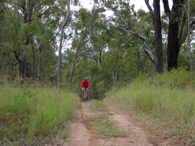
Green Gully Road
After lunch we enjoyed a leisurely roll down the hill towards Murphys Creek.

Then, heading into the bush along “Green Gully Road”, we made our way towards the Bicentennial National Trail (BNT).
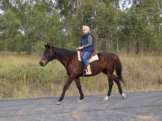
Horse RiderHorse Rider
It’s always nice to meet fellow travellers on the trail. I don’t often see bikes like this though 🙂
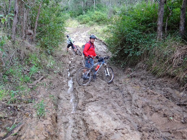
Glorious Mud
The gruelling mud on Green Gully Road made progress very difficult. We couldn’t ride much of it, because the mud stuck to the wheels. In fact even when I pushed the bike, the wheels became clogged with mud. So I carried it. It was hard work, but I laughed about it – even a muddy day on the bike is better than a day indoors.
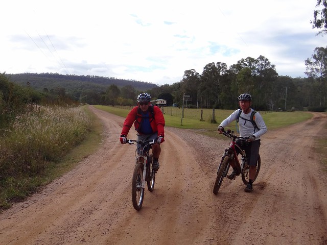
Gittens Road
We eventually reached the BNT on Stevens Road and enjoyed a few precarious downhills on the homeward run towards Withcott.

It might look like a quiet country lane, but this trail is an important route stretching from Cooktown to Melbourne down the great dividing range. I often wonder who has recently passed by on their way north or south.
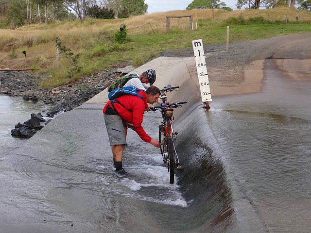
Bike Wash
Before finally arriving in Withcott, we washed the mud off the bikes in a flooded causeway. Eric seemed surprised when I joined in because it meant getting my feet wet.

We rode just over 50km in 7 hours. It was slow going. We climbed about 1,600 metres and I burned about 3,500 kcal.

I’d rate this one 8 out of 10 on the tough-o-meter.

A word of warning though – the mud makes it very difficult after wet weather. The climbs would be difficult in summer. This is probably a ride you’d want to try in the drier, cooler weather of early spring.

Thanks Eric, Jaime and Paul for yet another fun adventure!

Total distance: 53.86 km
Total climbing: 2508 m
Average temperature: 16.9
Total time: 06:57:58
Download file: activity_334644533.gpx
More data
Glenrock

East Haldon Valley

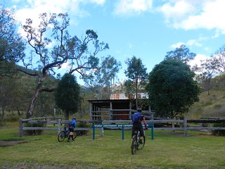
Todays adventure was a point-to-point ride from Goomburra National Park (near Cunninghams Gap) to Mount Sylvia. I wanted to fill in another gap in my Ride Network Map, and Becca, Eric and Darb were kind enough to indulge my whim and ride with me. We’ve ridden in Goomburra before, and were familiar with the steep climb up to the top of the range, peaking at about 1,100 metres above sea level. This was going to be a long day, so we wanted to save some time at the start by driving to the top of the range and starting our ride there…

Carpark - Goomburra

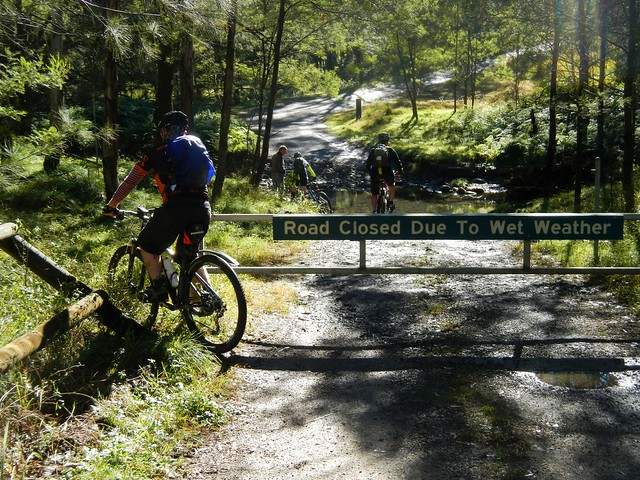
Unfortunately, the road to the top was closed to vehicles – a locked gate blocked the way. So we had to ride our bikes to the top instead.

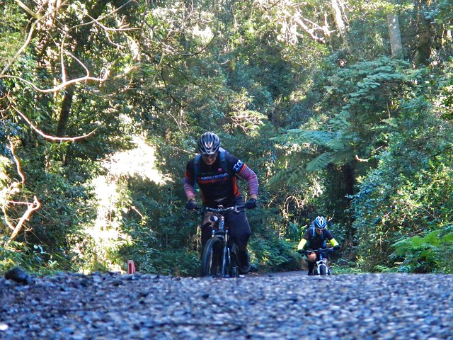
Steep Road - Goomburra

I thought this was poetic justice. I had recently written an article for The Mountain Bike Life about Hill Climbing in which I enthusiastically described how wonderful it was to ride a bike up steep hills. It seemed like the universe was forcing me to practice what I preached 🙂

The climb had added an hour’s riding time to our trip, but it was still worth the effort.

Mount Castle Lookout

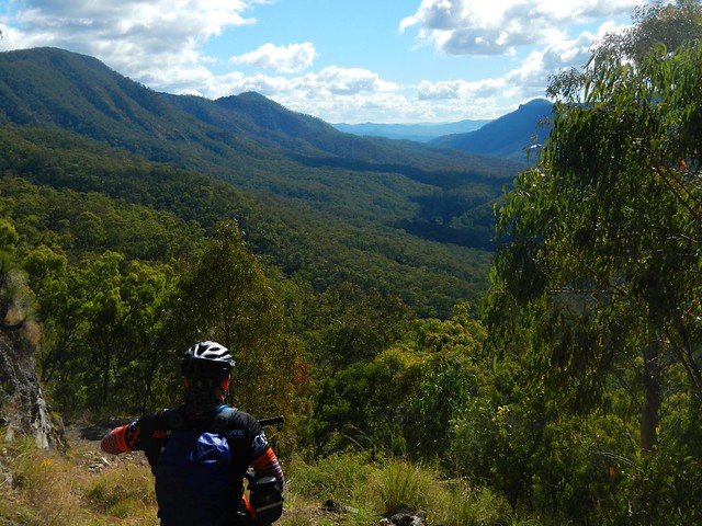
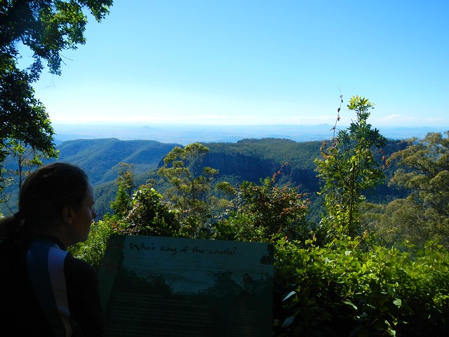
No ride “to the top” at Goomburra is complete without a side-trip to the Mount Castle Lookout, so we left Eric to mind our bikes while we hiked a few hundred metres through the rainforest to enjoy the view. Despite dismal rain the previous day, and heavy fog that morning, it had transformed into a glorious day.

Goomburra Ridgeline Track

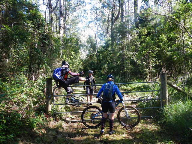
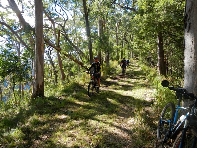
From the lookout we turned westward and followed a forestry track along a sharp high ridgeline, jumping a few locked gates as we went. Try doing that in a 4wd 🙂

Goomburra Ridgeline Track

Riding this ridge line is like cycling on a knife’s edge. On either side the terrain drops off steeply. As we rode, on our left and right, we could see the valley below us through the trees.

Blackfellow FallsLookout - Goomburra

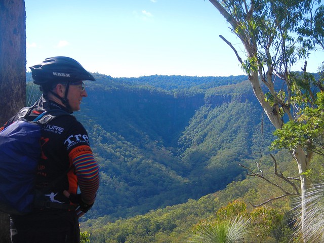
The views up the valley towards the waterfall were stunning. At times like this I’m so glad I’m able to ride a bike in the bush in this part of the world. Doesn’t it look fantastic?

Steep Descent
Eventually we reached the end of the ridgeline. It was time to drop down into the valley. Our plan was very optimistic. We had based the route on faint track marks we could make out from aerial photos. We were aware that the descent would be steep (up to 50% gradient in parts), and that we’d have to be very careful.

Steep Descent
Yep – it was steep alright. What impressed me was that we were actually able to ride any of it 🙂

Steep Descent
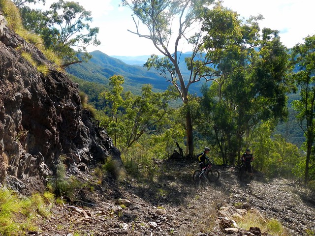
The views were amazing. We stopped every few minutes to soak up the panorama.

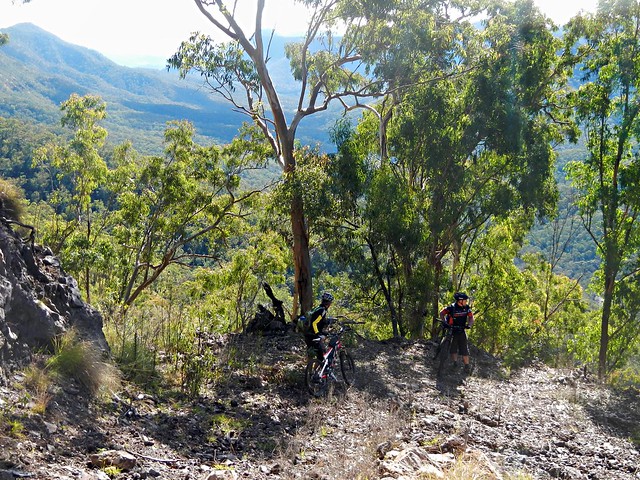
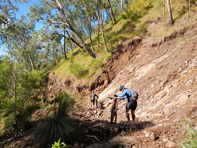
Landslip
Recent wet weather had caused land-slips which impeded our progress. Thankfully we were able to walk over the rubble.

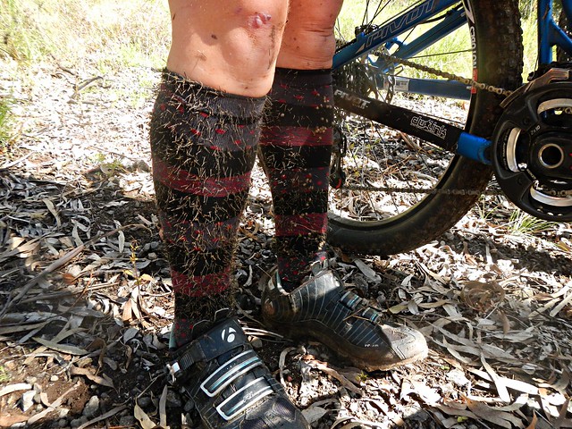
Cobblers Pegs
One thing that was unavoidable, however, were the cobblers pegs. After bashing through the undergrowth for a few minutes, it looked like our legs had sprouted wierd hairs that had poked through our socks. I think it’s going to take ages for me to pick them out of my clothes.

East Haldon "Road" - Blackfellow Creek
Eventually we reached East Haldon “Road” which follows the creek along the valley. I use the term “Road” lightly. It was a rough track to follow.

East Haldon "Road" - Blackfellow Creek
The track took us past a place on the map known as “Top Yards”. I’m guessing this was a place where graziers kept cattle in earlier times.

East Haldon "Road" - Blackfellow CreekEast Haldon "Road" - Blackfellow Creek

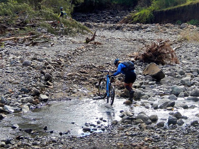
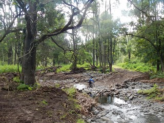
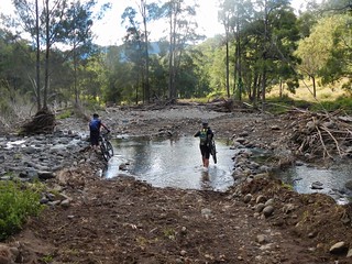
We had to cross the creek many times. Initally I tried to “rock hop” and keep my feet dry. Eventually I just hardened up, and waded through the water.

Groundhog's Cafe
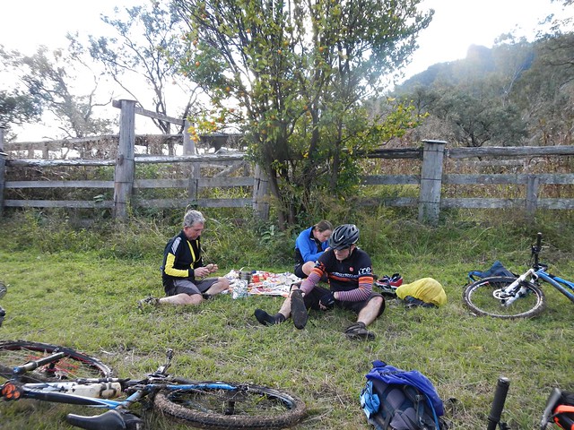
Eric surprised us. He had told me that he was carrying climbing rope in his frame bag for our precarious descent. But actually he was carrying a gas stove and picnic blanket. When we caught up to Eric at the “Bottom Yards”, he had the water boiling, picnic blanket spread out, coffee and hot chocolate rady, and even some short-bread.

We were cold and hungry. What a pleasant surprise!

Thanks for being so thoughtful, Eric.

Wild Mandarin
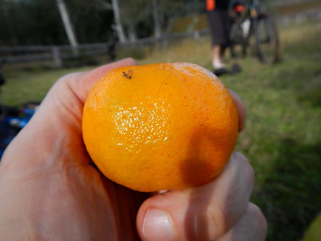
As an added bonus, we were sitting under a mandarin tree laden with fruit. We were able to pick some ripe mandarins to enjoy with our lunch. They were delicious!

Here’s Darb’s video of our lunch “surprise”:

Groundhog’s Bottom Yard Cafe from Darb Ryan on Vimeo.

Glenrock
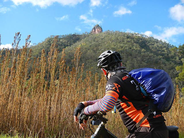
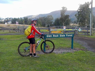
As we rode out of the valley, a prominent rocky outcrop came into view. This is “Glenrock” – it’s what the state forest is named after.

Day Use Area - GlenrockGlenrock State Forest

After countless creek crossings and what seemed like an eternity of rough tracks, we finally made it out of the state forest.

It had taken us over 4 hours, and we’d only ridden 25km. Hard work. That must have been the slowest 25km I’ve ever ridden. In fact I’ve done faster hikes than that.

East Haldon Road
The rough tracks became smooth dirt roads. While we still had about 30km to go, the toughest part of the ride was over, and we were able to enjoy a smooth, fast, ride to Mount Sylvia.

End of the Ride

It had taken us over 6 hours to ride 50km. We were delighted to reach our destination and relax.

We climbed about 860m during this ride, and descended about 1,400m. I burned about 3,000 kcal. We took a vote at the end of the ride and decided this one rates about 8 out of 10 on the tough-o-meter.

If you’re going to try doing it, be prepared for very rough country. There are no groomed trails out here. In places the track is difficult to see. And (of course) the descent from Goomburra is dangerous, so take care.

Thanks Becca, Eric and Darb for a great day out.

Thanks also to Mike for driving us out there, and to my dad, Bruce, for helping me get the Van out to Mount Sylvia the day before.

Point-to-point rides take a bit of extra planning, but they’re worth the effort!

Total distance: 54.14 km
Total climbing: 1543 m
Average temperature: 14.3
Total time: 06:07:27
Download file: activity_331321083.gpx
More data
Egypt

Egypt Plateau
Queensland has its very own “Egypt” – a spectacular plateau to the south-east of Toowoomba with amazing views of the Lockyer Valley. Today’s adventure took us to the heights of Egypt following portions of the Bicentennial National Trail (BNT) as well as old tracks that were once used in the Flight Centre Epic mountain bike race.

Egypt Plateau
We rode from Withcott with some new friends, Tamsin and Richard, who were familiar with many of the trails in the area, and were able to point us in the right direction when planning the ride.

Silver Pinch
There’s no chance to “warm up” when riding along the BNT out of Withcott. The hills start almost immediately. One of the first major climbs is “Silver Pinch” which takes you up to Silver Ridge, near the Toowoomba Golf Club at Middle Ridge.

Upper Flagstone Creek Road
As with most climbs, we were rewarded afterwards with a wonderful twisty descent down Horsfalls Lane towards Upper Flagstone Creek. It was a cold day, and I was grateful for the warm gear I was wearing as the wind whipped past us on the way down.

BNT Climb to PrestonBNT Climb to Preston

After following the creek for a short while, we left the paved road and followed the BNT up a dirt track leading up to Preston.

BNT Climb to Preston

And this was to be the pattern of the day. Tough climbs. Short break at the top. Wonderful quick descent 🙂

BNT Climb to PrestonTeamwork
Some of the hills were a bit too steep to ride in places, but it still felt great to be out in this wonderful part of the world.

Preston Village Chapel
We eventually made it up the climb to Preston – a picturesque hilltop village with its own Chapel and Vineyard. (Note to self, lets come back here in a few weeks with the family for a leisurely drive)

Preston Lookout
Preston Lookout

One of the hidden treasures of Preston is a lookout, not far from the winery. I only found out about this gem by reading Shannon Wall’s excellent blog “Biking the BNT” in which he describes his adventures riding a mountain bike along the BNT from Cooktown to Aratula (over 3,000 km). The panorama is worth the small detour from the main road. Thanks for letting us know about it, Shannon!

Kennedys Road
Richard suggested we leave the BNT at this point, and ride up to the Egypt Plateau via the small villages of Rockmount and Stockyard.

What followed was another eye-watering descent down from Preston in which we lost about 500 metres of altitude over 10 km.

Wow!

At the bottom, Paul pointed out to me that while he enjoyed the ride down, he was reluctant to give up so much altitude. Because as any intrepid mountain biker will tell you, you must pay your dues to the gravity gods. What goes down must go up. And so we met Kennedys Road.

It starts with a bit of a giggle. There are a few letter boxes at the bottom, and a rusty old fridge, that makes an effective letter box if you’re expecting large parcels.

But the climb is tough.

As usual, I was the last one up the hill.

I kept my legs turning over by reciting Banjo Patterson’s “Clancy of the Overflow” to myself. The rhythm and imagery kept my mind off the effort.

Egypt Plateau
Egypt Plateau
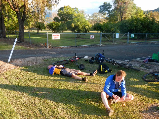
And so we made it up onto the Egypt Plateau, where we all collapsed on the grass opposite an old fig tree, and enjoyed our lunch. Eric (relaxing on his back) says the best sauce is hunger. I agree with him. Peanut butter sandwiches never tasted so good.

Egypt Plateau
We stopped quite often to soak up the views. The rolling hills seemed to go on forever.

"Little Egypt""Little Egypt"

For some reason an old song by Elvis Presley starting going through my head. No prizes for guessing which one.

Egypt Plateau
Each corner revealed a new vista…

Egypt Plateau
… so we stopped quite often to enjoy the view.

Incidentally, this is one of the reasons I don’t do races. How could you possibly enjoy the view? (The other reason is that I don’t ride fast enough).

Egypt Plateau
Great views with great friends. I can’t really thing of anything I’d rather be doing on a Saturday!

Road cutting
Eventually we hit the main road near Ma Ma Creek and started riding southwards. This imposing road cutting stretched high on either side of the road. There were warnings at either end alerting us to the possibility of falling rocks. Eric (ever wise) advised us all to keep riding. I couldn’t resist and had to stop and get a photo of it.

Water Stop
After about 55km riding, we stopped to fill up with water at this goregous old galvanized iron hall at Ma Ma Creek.

Razorback Road
We then left the paved road, and started our way up a dirt track ominously named “Razorback Road”. This was the third major climb of the day. Good old Clancy came to lend a hand yet again as I re-recited the poem to myself.

This track was part of the “Epic” mountain bike race a few years ago. I thought about hardened racers grinding up this road. It was hard work at my slow pace. Imagine how painful it would be riding up this hill as fast as you could go?

Razorback Road
The road passes through a couple of cattle properties on its way up to the Gap at the top.

Razorback Road
The rugged landscape was stunning.

Razorback Road
Jason kindly hung back on the climb to ride with me. He’s new to mountain biking, but his legs are accustomed to working hard on the road bike. It’s hard to keep up with him on the hills.

Rock Formation - Lagoon Creek
At the bottom of another exhillarating descent, we came across this gorge at Lagoon Creek.

It’s amazing what you find off the beaten track.

West Haldon Road
After one more climb, we eventually reached the top of West Haldon Road. In the Epic MTB Race, some riders were clocked at 110 km/h riding down this hill. It had a bit too much loose gravel for my liking, so I decended much more sedately today!

The Vision Splendid
To the south we looked towards Glenrock National Park below the peaks of Goomburra. I haven’t been there. Yet 🙂

What a wonderful place we live in!

Wavey Davey
We enjoyed the relaxing doanhill coast into Mount Sylvia. Our generous driver for the day, “Wavey Davey” met us here and drove us home. Point to point rides are always logistically challenging, and I’m so grateful for the time “Wavey” kindly gave to us today. Thanks mate!

Tamsin and Richard
Thanks also to Tamsin and Richard for showing us around their specatcular back yard.

We rode 85km, and climbed over 2,100m in vertical ascent, in under 7 hours, including breaks. I burned about 3,700 kcal. It was a cold day, and we worked very hard.

This ride deserves 9.5 out of 10 on the tough-o-meter.

To anyone who rode this route for the Epic race – you are tough as nails. Well done!

Oh – can anyone tell me how it this place got to be named Egypt please?

Total distance: 86.06 km
Total climbing: 3053 m
Average temperature: 12.5
Total time: 06:41:49
Download file: activity_327890106.gpx
More data
Murphys Creek

Tough Country - Murphys Creek
There’s an unusual creek which flows down from the Great Dividing Range below Toowomba.

Aborigines used to hunt for fish in this creek, which could at times run dry, and at other times transform into a raging torent during the wet season. Once a grass fire swept through the area and burned the fishing nets of the local tribe. So from that day they called the place “Tamamareen” which means “Place where the fishing nets got burned by a grass fire”.

In the 1860’s, a shepherd named Murphy built a hut in the rough foothills near this creek.

Several years later in 1867, a water tank and railway station were built at the bottom of the range to service steam engines grinding their way up the range to the Darling Downs. They decided to name the station after the local creek, which by then was known as Murphys Creek after the shepherd.

In a short while, a small town had sprung up around the railway station.

According to historical writer, Van Derek, Chinese market gardeners camped by the creek in the 1860’s and 1870-‘s. They grew vegetables which they then sold to the men working on the railway line.

Disaster struck when a torrential downpour caused a flash flood of the creek, drowning the Chinese who were camped on its banks. Local rumour has it that there is a mass grave in the Murphy’s Creek Cemetery containing the bodies of the victims of that flood.

And as most Queenslanders will tell you, this fickle creek had the final word in 2011, when it broke its banks again, and destroyed an entire town.
DSCN4510_copy
A dozen of us rode off from Helidon to explore this fascinating part of the world.

Dirt Road - Lockyer
Since Helidon was pretty much the lowest part of the ride, we started with some gentle climbs near Lockyer before having to work our legs harder as we neared Murphys Creek.

Cemetery Road, Murphys Creek
Heading down cemetery road, past the legendary mass chinese grave, we could see some of the challenging foothills that lay ahead. These hills comprised the “small climb”. We’d grind up to about the 600 metre level, and then enjoy a quick downhill run before taking on the “big climb” up Fifteen Mile Road to Hampton at almost 800 metres altitude.

Tough Country - Murphys Creek
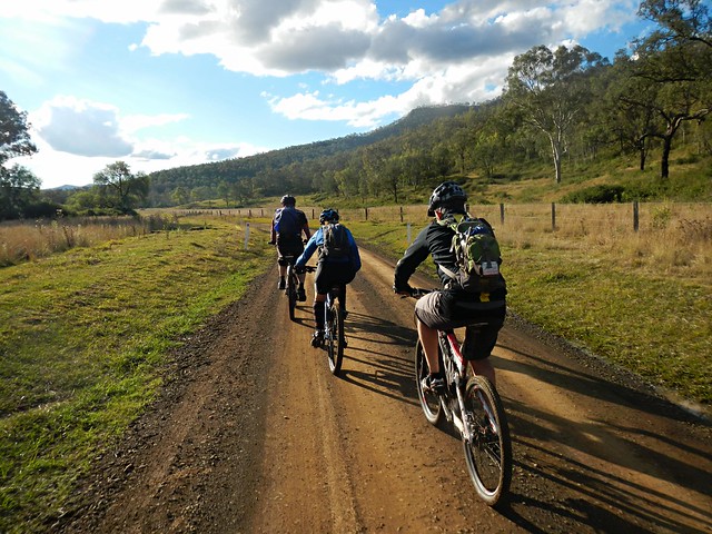
It might have been the “small climb” but the hills around Murphys Creek are tough to ride. At times we had to push the bikes.

Crazy Hill Climb
Crazy Hill Climb

Some of the hills were so tough, we couldn’t even push the bikes up them. We let Steeve get halfway up this hill (so we could photograph him) before we decided to turn around and try an easier route. I don’t think Steeve minded too much 🙂

Thank, Jeff, for showing us an easier way through the bush. I think we’d still be in there fighting our way out if it wasn’t for you.

Tough Country - Murphys Creek
Eventually the monster hills gave way to undulating terrain, and we enjoyed the relatively flat tracks as we gave our legs time to recover. We had crested the “small climb”.

Forest Trails at Fifteen Mile

These trails were wonderful. For about six kilometres we wound our way down steep tracks on narrow trails, tyres sliding on the gravel, jumping over waterbars, and hardly having to pedal at all.

I loved it!

Happy Riders
The trail spat us out, as steep trails often do, in the middle of some grassy fields at the bottom of a place descriptively named “Fifteen Mile”. We had a bit of a snack here, which was a good thing, because the “big climb” lay ahead.

Tough Climb
Fifteen Mile Road is a nine kilometre ascent which rises about 450 metres. I was the slowest up the hill, so all I managed to photograph was Steeve ahead of me, snaking up the hill, trying to make the climb a bit easier while slowly wending through the blanket of green eucalypts either side of the smooth clay road.

Tough Climb
But all hills eventually come to an end, and soon we were coasting over the rolling plateau at the top, near Hampton.

Mountain Bike Fuel
The cafe at Hampton serves delicious mountain bike fuel. The Lamb-burger, short black and Chocolate Milkshake hardly touched the sides.

“Now where’s a hammock so I can have a short nap?” I pondered.
Hampton
Hampton

With lunch over, and satiated riders back on bikes, we rocketed down the bitumen along Esk-Hampton Road towards the lookout. This is a busy road, mostly downhill, so we enjoyed the free roll down to Perseverance.

Perseverance Hall

The sign says: “Small Cheer and Great Welcome Makes a Merry Feast” – William Shakespeare.

I couldn’t agree more 🙂

National Park Road
National Park Road
The hills out the back of Perseverance were hard work – especially after such a relaxing lunch. But the surrounding countryside was picturesque.

Mud!
A couple of us ended up falling in the mud after coming across this muddy bog at the bottom of a hill. I thought I’d try and get a picture of Eric doing the same, but he gave us all a lesson in negotiating slippery terrain, and eased through without faltering. You da man, Eric.

Gus Beutels Lookout
Gus Beutels Lookout
Our tribe of bedraggled muddy riders emerged from the forest to Gus Beutels Lookout. Even though it was cloudy, the view didn’t disappoint. Even the rain clouds rolling in from the south didn’t obscure the panorama.

Rain clouds?

“Do you think we’ll get back before the rain hits us?” somebody asked.

Maybe 🙂

Seventeen Mile Road
And so began the “big descent” down Seventeen Mile Road – a long (mostly) dirt road, stretching 30 kilometres back to Helidon, with only one or two uphill sections.

There were one or two near misses on the screaming descent. Dom took a corner a bit too widely and ended up colliding with some rocks. “You were a bit lucky there, Dom”, I said. It could have been a lot worse, but he only suffered a few scratches and bruises.

I took a slight detour so that this route would connect with the rest of my map. Half the group kept rolling down the hill while I did this, and few waited. Unfortunately this meant we copped the rain during the final part of the ride, while the others arrived back nice and dry.

But a little bit of rain at the end of a tough ride is almost pleasant.

This ride was 83km and took 7 hours including breaks. We climbed a total of 1,833m. I burned about 3,500 kcal.

I’d rate this one 9 out of 10 on the tough-o-meter. This was in cool rider-friendly weather. I wouldn’t attempt it in summer.

Thanks everyone for a fantastic ride. Geeze I have some great friends.

JohnJohnQuentinDomJohnSteeveBeccaJeffPaulEricNeil

Total distance: 84.87 km
Total climbing: 2597 m
Average temperature: 14.8
Total time: 07:05:13
Download file: activity_324428990.gpx
More data
Down the Shute

McCarthy Shute
Maleny was built on timber – literally.

When the new Queensland Government repealed the “Bunya Proclamation” in 1859, they opened up large tracts of dense forest that had previously been protected for the benefit of local Aborigines. Timber-getters hungrily harvested thick forests on the mountains around Maleny.

The only problem was getting the massive logs down the mountain – which was where “The Shute” came in. The logs were slid down long steep shutes (that’s the old-fashioned way of spelling “chute”), such as McCarthy’s Shute, to waiting bullock drays at the bottom of the mountain. From there, the precious cargo would be lifted onto carts, and hauled to timber mills.

Today we followed the slippery path of the logs, and rode our bikes down McCarthy’s Shute.

Mary Cairncross ReserveMaleny Clouds

Bernie kindly drove us up the mountain to our starting point at Mary Cairncross Reserve, on the outskirts of Maleny. Amid the damp mist and light drizzle, we headed westwards down the hill towards “The Shute”.

McCarthy Shute RoadMcCarthy Shute Road
McCarthy’s Shute starts off as a picturesque hill gently winding down the slopes of the Blackall Range.

DSCN4360_copy
Even though they were wrapped in clouds, the surrouning hills looked pretty enough to prompt me to stop a few times for the obligatory photo 🙂

McCarthy Shute
McCarthy Shute

Eventually the road transforms into a “Shute” 🙂 It gets steep, muddy and slippery – perfect mountain biking terrain.

Road ClosedRoad Closed
The “road” disappeared in one spot and we had to scramble over a gulf in the road a couple of metres wide.

Ewen Creek
We finally reached the bottom of the descent at Ewen Creek – a tributary of the Stanley River which runs only a couple of kilometres from here. (Yes, I got wet feet!)

Macdonald Road
The next physical challenge was a gruelling climb up Macdonalds Road. Thankfully it was paved, but this nasty little pinch reaches slopes in excess of 25% as it makes its way up one of the precarious peaks near Bald Knob. (Oh, why do cameras always make steep hills look flat???)

London Creek Reserve
The sign says “No Through Road”, but once at the top of the climb, we followed a faint track down the hill again into the London Creek Environmental Reserve.

Spoke RepairSpoke Repair

The track is steep, rough and muddy in places. At one spot, while riding over a steep drop-off, my front wheel got stuck in the mud, and I went over the handlebars in slow-motion. I was unhurt during this manouevre which seemed to take an eternity. But, sadly, I managed to break one of the spokes on my rear wheel. For some reason, the spokes on my Crank Brothers Cobalt Wheels seem to easily break – even though they’re advertised as tough cross-country wheels. On the up-side, it’s relatively easy to replace spokes, and I always carry spares in my pack, so we took a break for ten minutes while I fixed my rear wheel. This is the first time I’ve ever replaced a spoke – so I’m feeling very proud of myself at the moment 🙂

"Ocean View"
After putting the wheel back on the bike, we ground up another steep hill towards Mount Mellum. Hills are inevitable in Mountain Biking. The best approach is to get used to them. We normally arrive at the top out of breath, but the views are always worth the effort!

Dullarcha National ParkNorth Coast Line

We made our way eastwards through Dullarcha National Park. Most people know this park for the “Rail Trail” which passes through it, but Dullarcha is much more than that. Nestled up against the Blackall Range, it’s very hilly in parts. We got a great view of the Glasshouse Mountains to the south as we passed over the railway tunnel on the North Coast line.

Dullarcha National ParkDullarcha National Park

We followed the tracks from the hills above the railway line down to the muddy trails around Ewen Maddock dam.

Ewen MAddock Dam
The dam is full after recent rain, so we had to take one or two detours to avoid a couple of flooded tracks.

Lunch at Landsborough
It had taken us over 3 hours to ride only 30 kilometres. This was hard work, so we stopped for a hearty lunch at Landsborough before heading back off into the forest.

Landsborough Pine Forest
The pine plantations near Landsborough are on flat terrain, so we enjoyed a leisurely after-lunch roll along some of the forestry trails.

Riding Through the Melaleucas
Plantations gave way to National Park again as we rode through some beautiful (but boggy) Melaleuca forests near Beerwah.

Strawberry Farming
Rolling past some of the strawberry farms, bustling with busy workers, I thought we’d temporarily ridden to another country 🙂

Bora Ring
And just outside of our destination at Beerburrum, we stopped at an old aboriginal Bora Ring on the edge of a pineapple field. The sign said “Silent now” but sometimes I think if you use a bit of imagination you can hear the echoes of clapsticks and soft singing.

On the distant horizon, the heights of our starting point reminded us of where we had started the day.

All Aboard!All Aboard!

After giving the bikes a quick hose-down, we hopped on the train for the quick ride back to Brisbane.

We rode 65 km in about 7 hours including breaks, climbing about 900 metres. I burned 3,000 kcal. The first part of this ride was the toughest. After lunch it was quite relaxing. Taking it all into account I’d rate it about 8 out of 10 on the tough-o-meter.

Thanks Becca end Eric for a fun day out.

Thanks Bernie for driving us to our starting point.

Total distance: 66.44 km
Total climbing: 1716 m
Average temperature: 18.4
Total time: 06:59:23
Download file: activity_320937185.gpx
More data

Bunya Mountains

Steep Descent Ahead
The magnificent peaks of the Bunya Mountains are a three hour drive to the northwest of Brisbane.

J.S.Fisher Lookout
Our plan today was to ride from Burtons Well – close to Mount Kiangarow, the highest point in the Bunya Mountains at 1,135 metres above sea level. We’d then follow forestry roads eastwards towards Maidenwell where we would have lunch, before climbing back up the range to finsih at Yarraman.

This was a point-to-point ride, which meant we’d finish at a different point to which we started. This always raises logistical challenges – bringing two vehicles, retrieving one vehilce from the starting point at the end of the ride, etc. My friend, Paul, kindly offered to be our driver for the day, dropping us off in the mountains, then driving back to Yarraman to pick us up. This saved us a lot of hassle at the end of the day.

YarramanYarraman
We met with some of the guys from Toowoomba Mountain Bike Club in Yarraman before making the final drive up to the top of the mountains.

J.S.Fisher Lookout
The Jarowair Aboriginal people call this place “Boobarran Ngummin” which, literally translated, means “mothers’ breast”. They believed that the creators of the land, people and animals lived here. These mountains were so important to the aborigines of southeast Queensland, that every three years they’d walk several hundred kilometres from places as far away as present-day Northen NSW, Brisbane, Moreton Bay Islands, Sunshine Coast, and Wide Bay.

The journey would take upto several months, and during that time they’d engage in trade, marriage ceremonies, spiritual discussions and gathering the nuts from the abundant Bunya Pines.

Even today, the Bunya Mountains is the site of the largest natural Bunya Pine forest in the world.

Burtons Well
Burtons WellBurtons Well
Burtons Well is named after local pioneers, Bob aand Geroge Burton, who dug the well in the drought of 1901 to provide water for their horses and bullock team.

On this morning in late May, at such a high altitude, and under clear skies, it was very cold. So we all rugged up in anticipation for what would be a fast, cold descent down the mountain.

Steep Descent Ahead
This was the fastest descent I have ever done on a bike. The winding paved road drops about 500 metres in altitude in the space of about 5 km. At one section where the road dropped steep and straight, my GPS tells me my top speed was 99.9 km/h.

Bunya Mts Yarraman 2013-05-25 from Darb Ryan on Vimeo.

Here’s a video of that descent (and the rest of the ride) by my good friend, Darb Ryan.

The road whizzed by in a blur of howling wind, chilling cold, and my shrill cries of “On your right” as I passed a few other riders.

I still haven’t confessed to Liz how fast I went.

Alice Creek
In little more than ten minutes we were out of the rainforest, down the mountain, and rolling through open farmland with frozen faces, and cold noses. A few of us took the opportunity to remove some of the cold-weather gear and prepare for the hard work ahead.

Thick MudThick Mud
The dirt roads through Alice Creek are made of black soil. It’s nice and smooth in dry weather, but after rain it turns to sticky black goo. After a few minutes riding on it, our wheels caked up with thick mud. It was impossible to ride.

We stopped and scraped the mud from the tyres and our shoes, then pushed the bikes.

But in a cruel twist, the mud still stuck to the tyres while we pushed. So we had to carry the bikes for a couple of km.

It was hard going.
Heart Break Hill
But wait… there’s more!

Not only was the ground akin to wet cement, some of those hills were impossibly steep.

Hoop Pine Forest
Thankfully, even the steepest of hills come to an end, and soon we were enjoying some more bumpy descents through a hoop pine plantation.

Barker Creek
Barker CreekBarker Creek

We followed the trail along Barker Creek for a few kilometres, crossing it several times.

Barker Creek
The road surface gradually improved as we got closer to Maidenwell.

"This is killing me"
Eventually we came out on the paved road we’d driven along a few hours before. The fields of sticky black mud that we had encountered earlier had delayed us by about an hour. Although it’s difficult for a mountain biker to admit, it was actually a relief to ride on the bitumen for a short while before lunch.

Lunch at Maidenwell
Ten hungry cyclists decended on the Maidenwell General Store and ordered mountains of food. A few of us took the opportunity to dry out wet, muddy footwear on the footpath outside. It took a while, but after about an hour, we had all eaten and were ready for the final leg of the ride.

Coomba Waterhole
Coomba Waterhole

We stopped by Coomba Waterhole on the way back. This picturesque location is a great spot for a picnic, and (in warmer months) a swim. The imposing rock formations are fascinating. But in today’s chilly weather we decided to forget about having a swim.

Bunya Mountains
Resting at the Summit

After a long climb up yet another nasty hill in Yarraman State Forest, we took a rest at the top and looked back towards the west. A long way distant, on the horizon, we could see the shadowy peaks of the Bunya Mountains. It was a great feeling to think “We’ve just ridden from there”.

We rode about 70 km in about 7 hours including breaks.

During that time we descended almost 1,800 metres, but we also had to climb about 1,200 metres, during which I burned about 3,000 kcal.

This was a tough ride, made more difficult by the sticky mud, and the logistics of starting and finishing such a long way from home.

The Bunya Mountains are stunning – well worth the effort of the visit, whether it’s on a mountain bike or in a car.

This one rates 9 out of 10 on the tough-o-meter.

Thanks everyone for great company on a spectacular ride!

Total distance: 69.55 km
Total climbing: 1899 m
Average temperature: 17.1
Total time: 06:53:47
Download file: activity_317593574.gpx
More data

The Devils Staircase

The Devils Staircase
My friends and I had some “Unfinished Business” in Conondale National Park.

Last time we rode here, we took a wrong turn and ended up a long way from where we intended. Today we wanted to correct that mistake.

My personal goal today was much simpler – I wanted to fill in a missing link in my Ride Network Map between Charlie Moreland Camp Ground and Kenilworth which would make my map stretch unbroken from the Coast westward to Maidenwell in the South Burnett.

Unbeknownst to all of us, our intended route would take us through some of the toughest country we’ve ridden, including a nasty monster of a hill which Paul dubbed “The Devils Staircase”.

To add to the fun, we were following a “point to point” route which meant that I’d have to drive back up into the mountains at the end of the day to pick up the other car.

Booloumba Falls Car ParkBooloumba Road
We started the ride at the Booloumba Falls car park. This is a beautiful spot for a swim in the heat of Summer, but at almost 600 metres above sea level, it’s freezing in late autumn.

North Goods Management RoadNorth Goods Management Road
Instead of following the busy dirt road back down the mountain, we took a short cut along a quiet fire management road. It was a bit overgrown, and rougher than the road, but it was delightful to crunch over the dry leaves and brush past the ferns and native ginger while Bellbirds rang out in the trees. With the crisp cool breeze sighing in the tree tops, this was a perfect day to be on the bike.

North Goods Management Road
As with many trails in this mountain range, we knew we were up high, and we could get tantalizing glimpes of the view through the trees, but the forest was too thick to see the horizon. So we gave up on trying to get a panoramic view, and instead, enjoyed the steep descent down the mountain.

No Entry!
We followed a ridge line as we descended. Impossibly steep tracks dropped off on either side. It would have been crazy to follow them. One precarious looking track had a warning. “No Entry. Survivors Will Be Prosecuted”. I think the land owner was telling us this was a suicidal track – even if we did survive it, we’d have to contend with his lawyers afterwards.

So we stuck to the main track instead 🙂

Somewhere in the Bush
As we progressed down the hill, the overgrowth became thicker….

Lantana
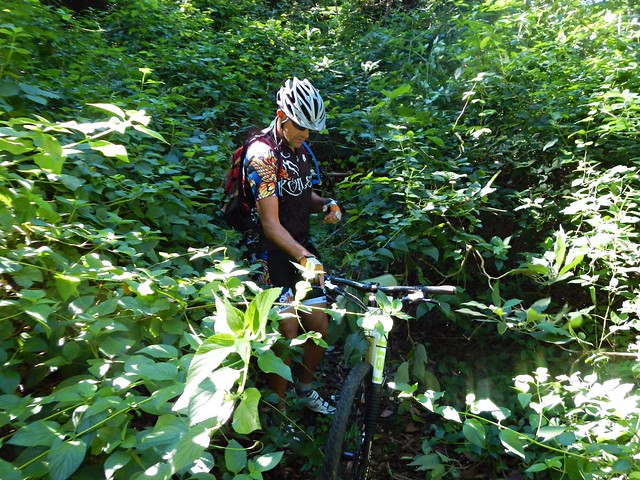
Eventually we were surrounded by Lantana. This horrible weed grows thickly and has prickly stems. As you brush by, it can cut your skin and tear your clothes. Crashing through it on bikes, we were asking for some punishment.

Conondale Range
Eventually the lantana thickets cleared, and we enjoyed a delightful view of the mountain tops in the distance.

Creek Crossing
After crashing through some more lantana on the steep hillside, we finally made it down to Booloumba Creek Road. I was delighted to be back on flat ground, even if it meant splashing through a few cold creek crossings. The creek crosses the road a few times, so its inevitable that we would get wet feet.

Our first objective was complete.
Hoop Pine forestHoop Pine Forest
The next leg of the ride was through some hoop pine forest to the north, towards Kenilworth. I assured the guys that even tough the terrain was very steep, I had chosen some trails that I thought would have kinder gradients and would be easier to ride.

But, alas, I was wrong…

Hoop Pine Forest
We discovered “The Devils Staircase”. It started out quite steeply…

The Devils StaircaseThe Devils Staircase

It got even steeper….

The Devils Staircase
And by the time I had dragged my bike to the top I was exhausted.

The reward for the tough climb was an exciting downhill run from the top of the range down to the town of Kenilworth…
Kenilworth PubKenilworth Pub
… where our lunch awaited us 🙂

Kenilworth Bikies
This ride was only 30 kilometres, but took us four and a half hours including breaks. I burned 2,000 kcal as we climbed about 950 m, and descented about 1,300 m.

It was a tough ride through some rough country. I rate it 9 out of 10 on the tough-o-meter.

Thanks Eric, Tony and Paul for a great ride.

Total distance: 31.3 km
Total climbing: 1412 m
Average temperature: 16.9
Total time: 04:22:40
Download file: activity_314198987.gpx
More data

Monsildale

Today’s epic ride started at the small town of Jimna and followed some national park trails down the mountain before looping back again through some rugged country around Monsildale to the west.

There’s some disagreement about how the town got its name.

One theory is that when a Polish gold prospector named it “Zimme”, a polish word meaning “cold”, or “Zimna” the polish word for “winter”. In Polish, “Z” is pronounced as a soft “J”, so this theory is plausible since the prospector discovered gold in winter. And Jimna is quite cold at that time of year.

Another theory is that the name comes from the Aboriginal word “Jimna” which means “Place of many leeches”. A few of the riders from today’s voyage can vouch for the fact that there are quite a few leeches around here.

Personally, I tend to think the Aboriginal word is probably the likely origin of the name.

Mornng Mist
While driving to our starting point, we actually drove past the half way point of the ride, and were able to leave a car there to store some lunch and extra water. It also provided a bail-out option for anyone who didn’t want to continue the ride after the half-way point.

The valley to the south of Jimna was foggy, and leant an ethereal air to the morning while we parked our “Sag Wagon” at the half-way point.

Group Shot
Getting Ready

A few minutes later we were up on the mountain in Jimna, above the fog. At the start of perfect clear-skied cool day, fifteen riders were getting ready for the ride.

Rest StopOff Again
Conondale National Park is very hilly. To keep everyone together, we decided to regroup at the top of each big hill, and allow the slower riders to catch up. This provided a perfect opportunity to have a chat and catch our break. The forest echoed with the happy sounds of bellbirds ringing and mountain bikers chatting.

Splash!
At the bottom of most descents we would often pass a creek. Sometimes this meant trying to ride through mud, but (as in the case above), other times we were lucky enough to have a concrete causeway to make the creek crossings easier.

Middle RoadMiddle Road
Super Troy

All fifteen of us slowly made our way south through the forest along Middle Road. Thankfully some parts weren’t too steep and we were able to cruise down some long gentle descents. Every so often we’d take a quick break to catch our breath.

Although there were cyclists of different abilities, I was amazed that we were able to keep together as a group for most of the ride.

Ten Mile RoadTen Mile Road
Ten Mile Road
Ten Mile Road was a long fast descent with some great views of the mountains to the west. Contrary to what it’s name suggests, it’s not ten miles long. The road got it’s name from Ten Mile Creek which lies at the end of road.
Ten Mile Road
Even though it wasn’t ten miles long, this was a fansatic downhill run. Wind howling in our ears, gravel crunching under our tyres, and suspension working over-time, we rocketed down this road at great speed.

Exhillarating.

And at the bottom of the long descent…
Lunch
… was lunch!

The fog that enshrouded this place at the start of the day had lifted, and we were surrounded by green fields and clear skies.

It must have looked really strange. A bunch of 15 mountain bikes camped on a grassy verge by the side of the road in the middle of nowhere eating lunch. But it was really pleasant. I took advantage of the car and packed a few extra bits of food that wouldn’t normally fit in a back-pack.

The ice boxes in the back of the car kept the extra water cool, and we were able to take on some refreshing cold hydration for the rest of the ride.

The Pack
We started out after lunch on relaxing cruise along the flat-ish road westwards towards Monsildale.

The Pack
But the trail slowly steepened as we wound our way up into the hills again, dodging free-ranging cattle wandering around on the road.

The PackThe Pack

While this climb was steep, it didn’t last too long, and we were eventually rolling down the other side towards Monsildale Creek.

Not the Feet!
We crossed the creek a few times. My friend Rients shares my dislike of wet feet while riding. Here he demonstrates a novel way to keep your feet dry while splashing through a creek crossing at speed.

Monsildale Creek
And finally we started the long slow final climb of the ride up Mount Buggery. This steep road takes about 35 to 45 minutes to ascend, depending on your strength. The lower reaches have some great views of the valley before the track twists its way back up into the forests of Conondale National Park, and the end of the ride at Jimna.

Terry
This 72km ride took us about five and a half hours including breaks. Some of the quicker riders arrived back within about five hours.

We climbed a total of about 1,700 metres, and I burned about 3,000 kcal.

With todays pleasant weather and the luxury of a “Sag Wagon” at the half way point, I’d rate this one 8.5 out of 10 on the tough-o-meter. In warmer weather with no half-way point assistance, it would rate 9.5 out of 10.

Thanks everyone for another enjoyable ride!

Total distance: 72.71 km
Total climbing: 2130 m
Average temperature: 16.6
Total time: 05:30:02
Download file: activity_310860519.gpx
More data