We’re out exploring the beautiful Border Ranges and Mount Barney for the next couple of days.
Here’s a sneak preview of some of the amazing scenery around here.
Continue Reading

We’re out exploring the beautiful Border Ranges and Mount Barney for the next couple of days.
Here’s a sneak preview of some of the amazing scenery around here.
Continue Reading

I took the family to Gus Beutel Lookout on the weekend.
It’s a breathtaking spot on the edge of the Great Dividing Range between Hampton and Esk. On our way home from Toowoomba, we decided to take the scenic route rather than battle all the roadworks on the Warrego Highway.
Continue Reading
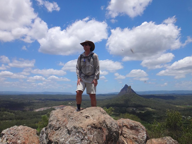
My daughter Laura and her partner Ken are visiting us from Scotland for a few days, so I thought today would be a good opportunity to enjoy some on-foot exploration of the Glasshouse Mountains.
Although they’re half a world away from the bonnie braes and glens of Scotland, the ancient volcanic Glasshouse monoliths have a timeless beauty of which I never tire.
Continue Reading

Today’s adventure was a 4WD bash through the bush with my brother, Kevin, and our sons. I’ve ridden many of these trails through the D’Aguilar and Conondale Ranges, and thought it would be good to share them with family from the comfort of a motor vehicle.
We started from Laceys Creek near Dayboro and slowly made our way up the range to Kluvers Lookout. As we drove up the hill, I muttered to Kev that it was much easier doing this as a 4WD passenger than it was grinding up the road in Granny Gear on a bike.


Although the lookout is small, it has some great views eastwards over Moreton Bay and Lake Samsonvale.
From there we cruised along the top of the range towards Jacky Creek Road. This road descends steeply towards the creek. I couldn’t resist lying in front of a water bar to get a view of the car inching over it…

In my enthusiasm for a good shot I forgot that Kev couldn’t see me as he crested the hump. I’d only recommend doing this with someone you trust 🙂


Jacky Creek is beautiful. We got out, splashed in the water and threw a few stones around. If I didn’t already have a swimming spot planned, I think we would have had a bit of a swim here.
A while ago, Liz and I took the kids on a 12km hike out to the Western Escarpment and back. I’ve also driven the rough and narrow road in a sedan before, althogh I had to take it very slowly. Today in the 4WD it was a comfortable cruise.


Somerset lookout is right on an escarpment on the edge of the D’Aguilar Range, looking westward. We enjoyed the views of lakes Somerset and Wivenhoe. Kevin was a bit more adventurous than me and got quite close to the edge. I promised not to tell anyone.
After driving out of D’Aguilar National Park via Neurum Creek, our original plan was to have a bite to eat at Woodford before moving up into the Conondale Range. Kevin was one step ahead though, and had packed a couple of roast chickens for us to eat. So we had a break at the Stoney Creek day use area at the foot of the range. The boys cooled their feet in the water for a while after lunch, then we headed up another mountain…
We followed Bellthorpe – Jimna Road higher and higher, and stopped at a couple of spots to enjoy more views. Harrison was interested in seeing how close he could get to the edge without slipping off.

Recent rain had caused several trees to block the narrow road. Thankfully rangers had been through before us to clear the fallen timber out of the way.

The vegetation grew lush as we drove higher into the range. At one point we were over 800m above sea level. The breeze was pleasantly cooler, and the rainforest was thick and green.
We eventually reached Booloumba Falls where Harrison and I enjoyed a quick swim. I tried sticking my head under the falls, and enjoyed it so much I talked Harrison into doing it too. After sitting in the car for a long time, the cool water felt delicious.

It’s a 1,500m walk from the car park to the falls. I decided to get changed at the falls. Harrison toughed it out, walking down and back in bare feet. Maybe teenagers have a higher pain threshold?
We eventually came out of the forest at the bottom of Booloumba Creek Road near Kenilworth. I had planned for us to drive from there up to Point Glorious at Mapleton. But we were running out of daylight. Mapleton Forest would have to wait for another day.
We travelled about 350km in ten hours. With over 7,200m of vertical ascent, this would have been an impossible day trip on a bike. But I think Kev’s 4WD didn’t even work up a sweat.
Thanks for a great day out, Kevin!
And thank you, Harrison and Jack for being such fun passengers.
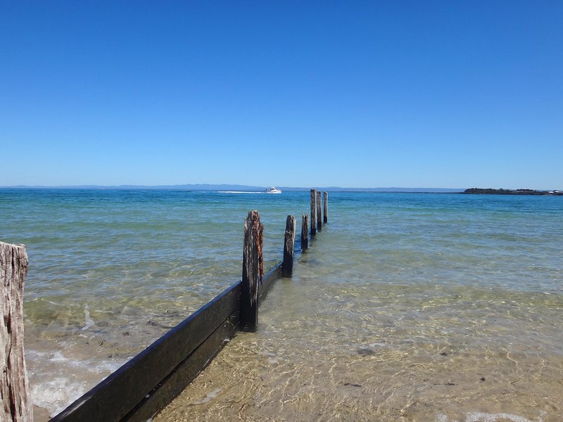
Bribie Island is a sea-side paradise, less than an hours drive from the northern Suburbs of Brisbane.
The aboriginal name for the island is “Yarun”, meaning “Crab”. According to traditional legends, Yarun (or Yirrin) was a greedy man who ate too much honey. The bees smelled the honey, and covered him with wax. He ran out into the water, but the tides and the bees weighed him down. He got stuck in the mud, the wax hardened and before long he had turned into a crab. He and his people have been crabs ever since.
The name “Bribie” comes from the Aboriginal word “Boorabee” which means “Koala”. In the early days of the Moreton Bay convict settlement, several convicts escaped and made their way to Bribie Island. Eventually, the word “Bribie” became synonymous with disappearing from every day life: when a man from Brisbane had left town without leaving an address, people would say he had “Gone to Bribie”.
Harrison and I spent a lazy day exploring the history of this wonderful place. Perhaps we should have let people know we’d “Gone to Bribie” 🙂

One of the stories of Bribie Island that has intrigued me for ages is the story of Kal-Ma-Kuta, a Joondaburri aboriginal woman. I’ve often driven past an unusual memorial about her, built in the middle of the busy four-lane road as you approach the Bribie bridge on the road from Caboolture, near Turners Camp Road.
The memorial, erected in 1962, said that Kal-Ma-Kuta was the “Last of the Joondaburri Tribe”.

Today we decided to stop and have a look, and try to answer a few questions about her.
We parked the car near the beach on Turners Camp Road, planning to walk back to the memorial and check it out, but discovered a newer memorial near the water…

According to the plaque, this place was where Kal-Ma-Kuta (who was also known by the anglicized name “Alma”) and her husband, Fred Turner, built a house shortly after they married in 1872. They had eight children together, and lived together at this spot until Kal-Ma-Kuta’s death in 1897. The place became known as “Turners Camp” because of them.
This raised another question for me: If Kal-Ma-Kuta had eight children, why did the memorial say she was the last woman of her tribe?
I eventually found an old (2004) copy of Indigenous journal, “The Koori Mail”, which recounted a story that in the 1870’s oyster fisherman, Fred Turner, had a boating accident. He was rescued by a young aboriginal woman and eventually married her. Fred and Kal-Ma-Kuta had an oyster lease, and also were responsible for lighting the beacons on Toorbul Point (known today as Sandstone Point). The article also said that the Turner’s great grand-daughter, Daphne Kalmakuta Dux, had successfully lobbied local politicians to erect the newer memorial by the water.
Now 85 years old, Aunty Daphne, is an artist who paints stunning works depicting her aboriginal heritage.
Here’s a short video of her, filmed by students at Lismore TAFE in 2009…
I was able to speak with Aunty Daphne on the phone. I asked her about the “Last of her tribe” comment on the 1962 memorial. She told me, “I’m one one of Kal-Ma-Kuta’s descendants. I’m Joondaburri. So we can’t all have disappeared!” I’m glad she sorted that out.

You can see some of her amazing work at Serpentine Arts.

The “Koori Mail” article said the Turners had a contract to maintain navigation beacons in the Pumicestone Passage at Toorbul Point. My friend Jason had told me the day before that if we had a look around Toorbul Point we might find the remains of an old Aboriginal fish trap. So Harrison and I decided to pop down the road and have a look around…
I asked a fisherman at the point if he knew about the Aboriginal fish trap, and he pointed to a spot a few metres away and said “Yes. It’s right there. But you won’t see much at the moment because it’s high tide”.
The whole idea with fish traps was to build a wall of rocks that would be submerged by the rising tide. Fish would swim into the enclosure, and be trapped as the tide fell. The successful fishermen would then help themselves to fresh seafood.
Before Eurpoean settlement, this place was a seafood lovers delight. What we know today as expensive Sydney Rock Oysters could be picked fresh from the rocks. Crabs, fish, dugong, turtles…. there was an abundance of good food for the local inhabitants.
This quartet of simple markers tells the story of three english ticket-of-leave convicts who, in 1823, were shipwrecked on nearby Moreton Island. Suffering a fierce storm off the coast of Newcastle, south of Sydney, they had drifted for several weeks before being washed ashore almost 1,000 km to the north. After being cared for by the Aboriginies on Moreton and Stradbroke Islands, they made a canoe, crossed Moreton Bay and came ashore at near present day Cleveland, south of Brisbane.
Finnegan, Parsons and Pamphlett thought they had been washed ashore south of Sydney, so started walking northwards in the hope of going home. But instead they crossed several rivers and eventually ended up living with the Joondaburri on Bribie Island.
The diet these three ex-convicts enjoyed on the islands of Moreton Bay was probably the most healthy and sumptious they had ever experienced in their short, unfortunate lives.

Harrison and I visited the Museum on Bribie Island, and found this photo, by Jon Rhodes, of the same Toorbul Point Fish Trap that we had been looking for earlier in the day. It might be an idea to go back to this point at low tide and see if the fish trap is easier to see.

Taking a break from history, we grabbed some morning tea and sat by the water to enjoy the views of the mountains in the distance.
We planned to head to the southern tip of the island to check out a bit more local history. But before doing that, we wanted to have a look at “Buckley’s Hole”. This is an artificial lagoon which was created in the 1980’s when the council built a sand wall across the mouth of a slow-running creek to deter mosquitoes from breeding. The lagoon is an important habitat for a large number of different bird species. To allow visitors to observe the birds, there’s a small “hide” overlooking the lagoon.

We spent a while quietly watching the wildlife from the hide. A few swallows kept flying in and out of the windows. Keen-eyed Harrison realized there were several nests inside the hide on the wall immediately behind us. We were delighted to find some beautiful speckled eggs inside.
Buckley’s Hole is also important culturally. There are a couple of shell middens nearby, formed over centuries as Aborigines gathered to enjoy shell-fish and then discard the shells.

It’s also close to the first documented encounter between Europeans and Aborigines at “Skirmish Point” – as depicted in this painting by Don Brabden that we saw in the Bribie Museum. It shows Matthew Flinders rowing ashore from his sloop, The Norfolk.
Funnily enough, this is also the same point where our three ship wrecked ex-convicts: Finnegan, Parsons and Pamphlet, were found almost 24 years later by an astonished John Oxley in 1823.

Harrison and I made our way down to Skirmish Point. There were no old wooden sloops there today – just a flotilla of modern pleasure craft, and a small cruise ship in the distance.

What a beautiful part of the world!
Eventually we made our way across to the eastern side of the island, or “surf side” as the locals call it.
It didn’t take us long to find our final historical landmark – the old World War II bunkers in the sand dunes behind the beach. These bunkers had a couple of 155mm guns mounted on them and were capable of hitting a target 30km away. The shipping channel at this point comes in closely to the coastline, so it was an ideal point for the fortifications. The bunkers were also used to monitor the channel for submarines, and were capable of detonating submerged mines if intruders were detected.

From this spot on Bribie, Moreton Island looks quite close.

History lesson over, we decided to stop at a cafe in Woorim for a late lunch before heading home.
Today’s trip was only 116km in the car, with about 3 hours exploring on foot, and 2.5 hours driving.
Thanks Harrison for a fun day of exploration!
Historical notes:
1. People more qualified than I suggest that the Joondaburri tribe are part of the Gubbi Gubbi (or Kabi) Aboriginal people.
2. In referring to Kal-Ma-Kuta as the “Last of the Joondaburri Tribe”, the authors of the 1962 monument were probably alluding to the sad fact that most of the tribe had desserted Bribie Island by about 1880. Habitat destruction by European settlers had rendered the island unable to provide enough food for the indigenous population.
3. Aboriginal freedom fighter, Dundalli, was adopted by the Joondaburri tribe, and was involved in some gruesome conflicts with European settlers which eventually resulted in his execution in 1852.

I’ve cycled through the Border Ranges a couple of times with friends. Both times it was raining, so we didn’t really get to see it at its best. So today I thought I’d take advantage of the recent run of specatcularly clear days and drove there for the day with my son, Jonathan.
While not being able to ride a bike for a few months has its disadvantages, there was one advantage – we had a lot more time during the day to stop and enjoy the views.
“The further south you go, the better it gets”, I said to Jonno as we drove south from Beaudesert. Just near of the border, along the Lions Road, we arrived at Running Creek. The road here crosses this pretty creek several times. It’s difficult to enjoy the view while driving, so we decided to get out and have a quick look around.
The interstate railway line crosses the range here via an unusual arrangement of loops and tunnels that were constructed about a century ago. We were able to look down on the system from the “Border Loop” Lookout.
Our route meandered over more creeks and under several railway bridges until we eventually turned off onto the Gravel at Simes Road.

One of the joys of revisiting a special place is bringing someone who’s never been there before. Jonathan was stunned by the beauty and kept wanting to stop and take pics. I was happy to oblige.
We eventually arrived at “The Pinnacle” lookout after a long slow drive up the mountain. The last time I was here it was so cloudy and wet you could see nothing.
Today the beauty was overwhelming.
To quote John Williamson…. “You know, some people never see such things…” (The Cootamundra Wattle)
After carefully making our way down the other side of the range, we slowly made our way into Mount Burrell, in the upper reaches Tweed Valley. Believe it or not, this little stream is the Tweed River.
We found thls lady by the side of the road. She kindly posed for a photo with me but didn’t say much.
If you want to see some of the best scenery in South-East Queensland and Northern NSW in one day, I’d thoroughly recommend this drive. We drove a total of about 420km in just over 7 hours. I used most of a full tank of fuel.
Thanks Jonathan, for sharing it with me.
Oh – and thanks to my neighbor, Mike, who let me take his Holden Ute so far from home!
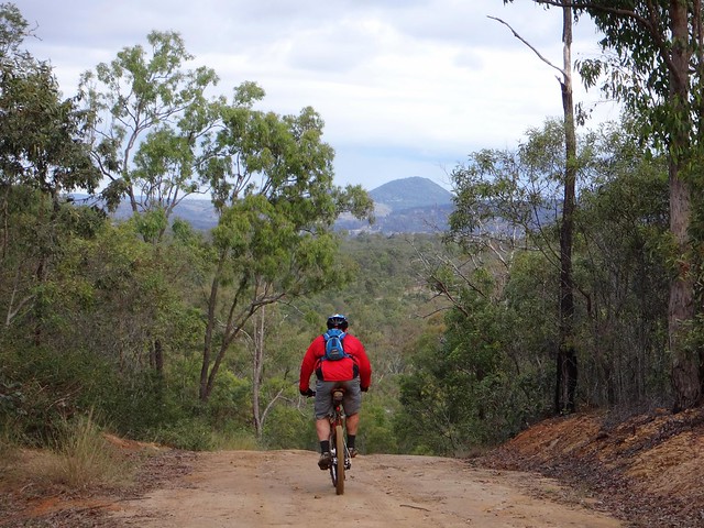
Eric and I had a couple of objectives today:
I had a few gaps in my Ride Network Map which I wanted to fill in. We’ve done a few rides in this area recently, and it would be satisfying to link them all up.
Also, Eric wanted to check out a few tracks near Toowoomba to help him plan an off-road route from Brisbane to Toowoomba.
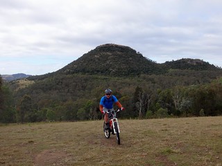
Jaime from Toowoomba Mountain Bike Club kindly agreed to join us for the ride. When exploring new areas, it’s always helpful to bring a local 🙂
We started our adventure at Withcott – a small town at the bottom of the Great Dividing Range. While heavy traffic whizzes through here trying to pick up speed before climbing up the hill to Toowoomba, our plan was for quieter trails. We rode south from Withcott up some quiet back streets towards Tabletop Mountain. Berghoffer Drive and Tabletop Road are very steep paved roads. If you’re interested, have a look at the Google Street View link here. We slowly ground our way to the top of the road, wondering what we had got ourselves into.
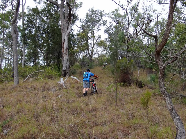
But as any seasoned Mountain Biker will tell you (especially if Road Bike riders are within ear-shot), paved roads, even steep ones, are nothing compared to the challenge of off-road climbs.
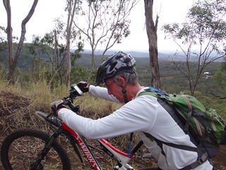
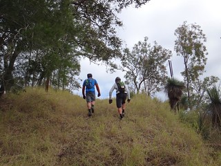
We slowly climbed up the range – sometimes pedalling, mostly pushing our bikes upwards.
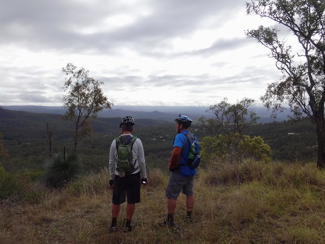
The views to the east were delightful.
My brother-in-law, Paul, lives in Toowoomba, and met us at the top. We carefully scurried across the busy Warrego Highway at the top of the Range and made our way towards Jubilee Park.
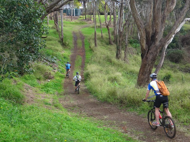
Jubilee Park is a mixed-use reserve which sits on the edge of the mountain stretching down the hill from Prince Henry Heights and Mount Lofty towards Withcott.
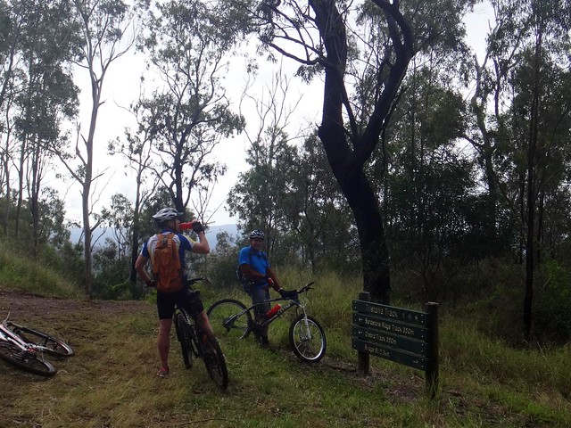
It boasts a variety of single tracks downhill runs, and a “bridle trail”. Because of recent rain, we decided to avoid the single tracks, and rolled down the hill along the bridle trail.
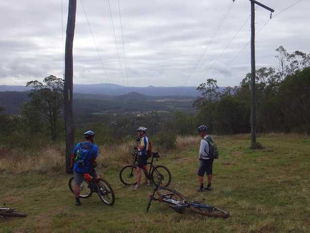
We had more great views on the way down, but the sticky mud quickly collected on my wheels and totally clogged them up. I had to pull out handfulls of mud from the wheel arches and chain stays just so I could get the wheels turning again.
When we reached the bottom we took a few minutes out at the picnic shelter to scrape off the rest of the mud and prepare for the next big climb. I was a bit worried about Paul. He had only ridden a bike once in the last year because of an injury, and I wasn’t sure how he’d cope with the next bunch of steep muddy hills.
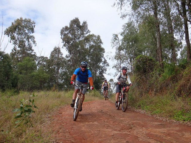
Wallens Road winds back up the range from Withcott to the railway siding at Ballard. There are very few flat sections. It’s all either uphill or down. In wet weather, most of it is muddy.
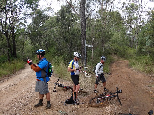
We slid down several precipitous slippery tracks, and heaved the bikes up some equally challenging slopes before finally emerging to the luxury of reasonably graded dirt road. Jaime assured us we were only 15 minutes away from our lunch stop at Spring Bluff, so Paul put in a quick call to Karen to drive down to pick him up and meet us for lunch.

The short drive up to Spring Bluff Railway Station involves a nasty little 25% climb. The thought of lunch kept us turning the pedals. Paul had an added incentive as Karen was watching. Well done, Paul. That was a great effort for someone who hasn’t been on the bike much lately.

Eric often says “Hunger makes the best sauce”. I agreed with him as I inhaled my delicious burger.
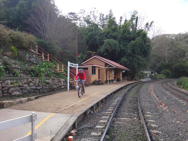
The railway line up the Main Range was constructed between 1864 and 1867. Highfields Railway Station was important because it served as a watering stop for locomotives struggling up the range, and was a loading point for Timber and Dairy products from the Highfields area. Railway Commissioner Gray was particularly fond of the area, and renamed it “Spring Bluff” in 1890. In its heyday in the 1900’s, the station handled over 5,000 passengers per year.
These days it’s much quieter, although you can still sometimes catch a steam train to Warwick.
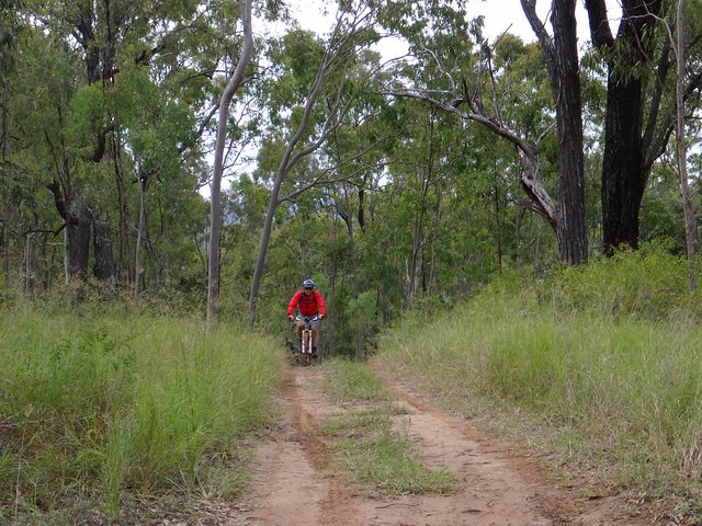
After lunch we enjoyed a leisurely roll down the hill towards Murphys Creek.
Then, heading into the bush along “Green Gully Road”, we made our way towards the Bicentennial National Trail (BNT).
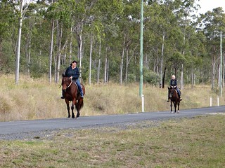
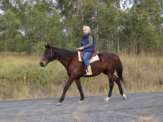
It’s always nice to meet fellow travellers on the trail. I don’t often see bikes like this though 🙂
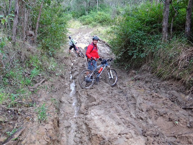
The gruelling mud on Green Gully Road made progress very difficult. We couldn’t ride much of it, because the mud stuck to the wheels. In fact even when I pushed the bike, the wheels became clogged with mud. So I carried it. It was hard work, but I laughed about it – even a muddy day on the bike is better than a day indoors.
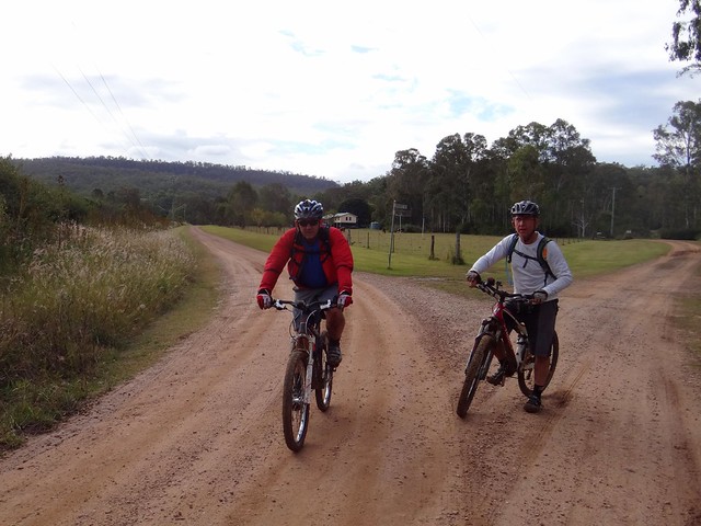
We eventually reached the BNT on Stevens Road and enjoyed a few precarious downhills on the homeward run towards Withcott.
It might look like a quiet country lane, but this trail is an important route stretching from Cooktown to Melbourne down the great dividing range. I often wonder who has recently passed by on their way north or south.
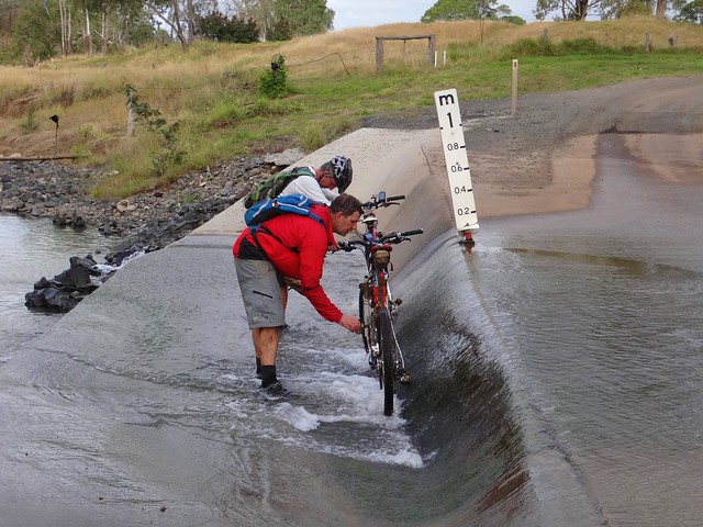
Before finally arriving in Withcott, we washed the mud off the bikes in a flooded causeway. Eric seemed surprised when I joined in because it meant getting my feet wet.
We rode just over 50km in 7 hours. It was slow going. We climbed about 1,600 metres and I burned about 3,500 kcal.
I’d rate this one 8 out of 10 on the tough-o-meter.
A word of warning though – the mud makes it very difficult after wet weather. The climbs would be difficult in summer. This is probably a ride you’d want to try in the drier, cooler weather of early spring.
Thanks Eric, Jaime and Paul for yet another fun adventure!
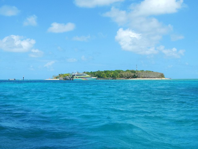
Green Island is a small tropical island on the Great Barrier Reef, about 25km off the Queensland Coast near Cairns. Just over 500 metres across at its widest point, you can walk around it at a leisurely pace in about half and hour. It’s a popular tourist destination for visitors to Far North Queensland, so we decided to check it out while we were in the area.
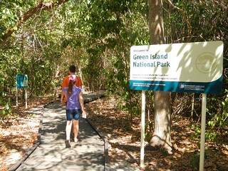

The Guru-Gulu Gurandji Aboriginal people are the traditional owners of the island. Their name for it is “Wunyami”, which means “Place of the hole in the nose”. Their story tells of a little turtle who swam to Green Island to drink some freshwater from a creek. Because there were many larger turtles trying to get a drink, he decided to drink from a crab hole filled with water. He didn’t realize it, but the little turtle woke the crab that lived in the hole. The crab pinched the turtle’s nose making holes in it. Eventually the little turtle grew into a big strong fellow. The other turtles noticed this. Because they wanted to be big and strong as well, they asked the spirits to give them all holes in their noses. When the Gurandji people heard of this, they paddled their canoes to Green Island and performed the first nose-piercing ceremony which then became part of the initiation ceremony on Green Island.
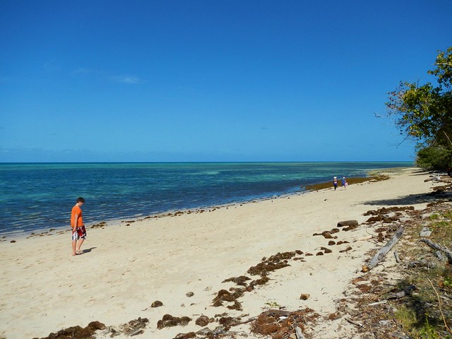
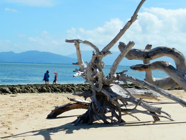
We had a relaxing time wondering around the island, following the boardwalks through the forest, and then walking along the sandy beaches.

We also did the touristy thing, and tried snorkelling through the coral.

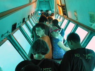
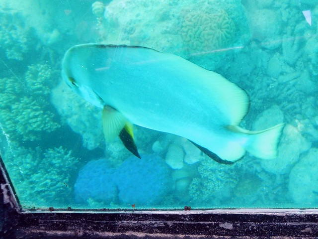
An easy way to see the reef without getting wet is either in the semi-submersible submarine, or the glass-bottomed boat.
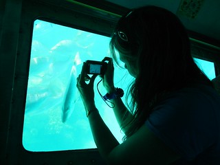
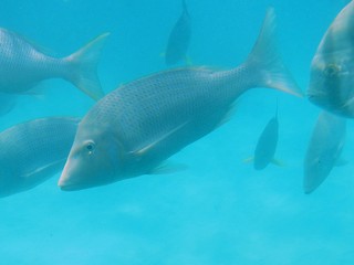
I enjoyed the submarine – it let us get up really close to the fish.
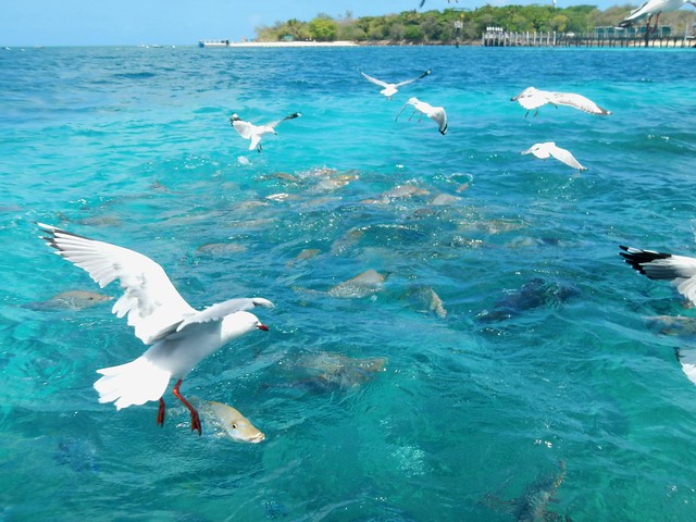
The boat operator fed the fish while we were out, which excited the fish and the seagulls 🙂
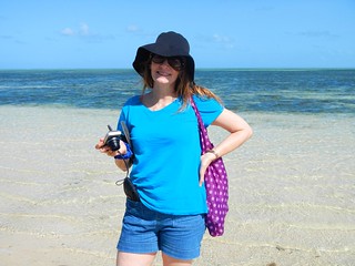
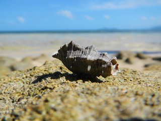
Green Island is a beautiful place. I’m really glad we took the time to explore it!