Mount Glorious

Hammermeister Road
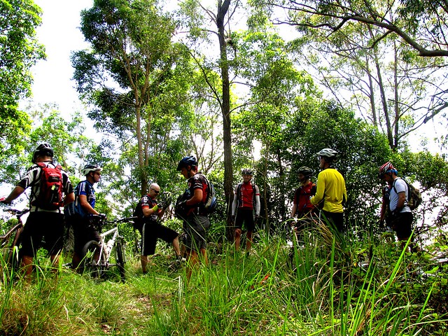
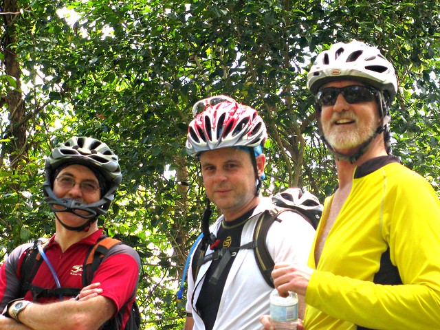
My friend David told me he and a few mates were interested in exploring D’Aguilar National Park. So I jumped at the opportunity to organize a social ride along some of my favourite tracks there today.
Goat Track
As with most expeditions in D’Aguilar NP, this one started with a short climb up the Goat Track which affords great views out to Moreton Bay, but you’ve got to work for it as you climb 400m in just over 3km.
Hammermeister Road
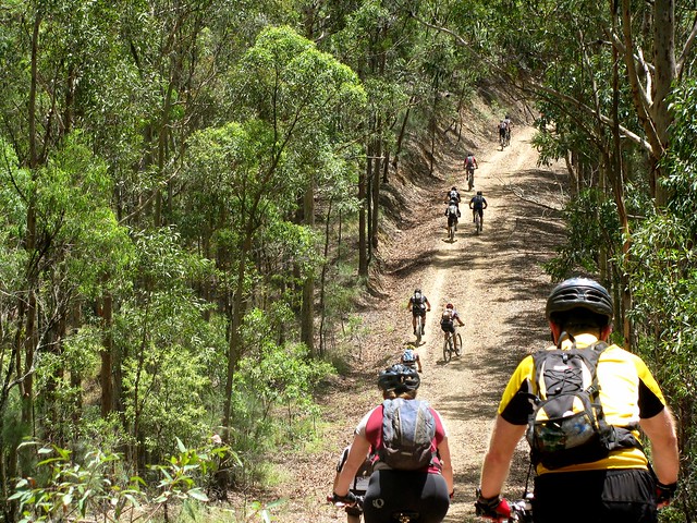
Rather than follow the bitumen at the top, we elected to ride up Hammermeister Road – a steep dirt road to the west of Mount Nebo. The road is named after Lou Hammermeister who started working in the timber industry at Mount Nebo during the Second World War and continued there for almost twenty years.

According to the Mt Nebo local newspaper “Mountain News“, Lou lived at Mount Nebo for over 60 years. He blazed any of the roads and fire trails in the area using his dozer. He also used his dozer to help build an Oval and Tennis Court at the Mt Nebo School. Lou started as a timber cutter, moving to Main Roads when logging at Nebo ceased in the 1960’s. As someone who regularly rides at Mount Nebo (including Hammermeister Road), I am grateful for Lou’s legacy.

Hammermeister Road
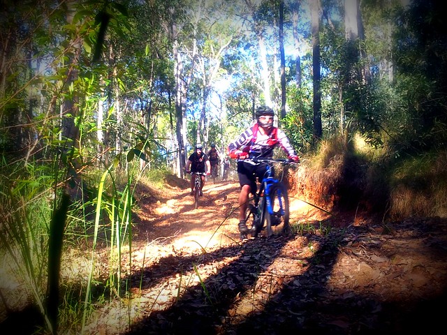
A lot of my friends enjoyed Lou’s legacy today too 🙂

Dundas RoadSixty-niner
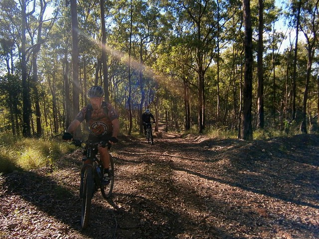
From there it’s a short jump to Dundas Road behind the transfer station at Mount Nebo. This is where the long descent to England Creek begins. A few of the riders, including Jeff (pictured) took the opportunity to drop some of the pressure in their tyres to get a bit more grip on the dusty track surface. It was then I realized Jeff was riding a hybrid bike. It had a 29 inch front wheel and a 26 inch rear wheel. Bikes with 29 inch wheels are affectionately called “Twenty niners”. But when you’ve got “one of each” on your bike, the collogual term for the bike is a “Sixty-niner”. Jeff’s bike is even stranger. The front fork only has one staunchion on the left-hand side. So this is the only “Lefty Sixty-niner” that I’ve ever seen.
Goodes Road
From Dundas Road we rode into Goodes Road and enjoyed the quick drop down the mountain. It’s difficult to enjoy the spectacular views while riding so fast, but I think we managed. One of the “surprises” on Goodes Road is a gate across a steep section of road half-way down, which can sometimes cause riders to skid as they grab the brakes to avoid hitting the gate.
Fixing a punctureFixing a puncture
Unfortunately, Jeff got a puncture during the descent. This was when I discovered another surprise about “lefty” forks. You don’t need to remove the front wheel to change the inner tube. Since there’s only one staunchion, you can remove the tube while the wheel is attached. Amazing stuff.
England Creek
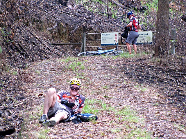
After fixing the puncture, we enjoyed the final sketchy descent down to England Creek and splashed through the creek crossing before having a break.
Joyners Ridge Road
It’s worthwhile having a break at England Creek because it takes about 90 minutes to ride from there up to the top of the hill on Joyners Ridge Road. It’s not steep (as mountain bike hills go) but it is still a long climb.
Becca - Joyners Ridge Road RainforestI've seen the light
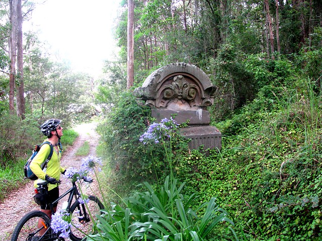
The highlight of riding up Joyners Ridge Road is reaching the Rainforest at the top. It’s a lush, cool, green reminder that the climb is over. I think we all heaved a sigh of relief once we reached the top.
We did it!

All up, this ride was about 35km with about 1,300m of vertical ascent. It took us 5 hours including breaks and repairs (we had a long lunch at the Mt Glorious Cafe), and I burned about 3,000kcal. Wtih todays perfect cool spring weather, I rate this one 7.5 out of 10 on the tough-o-meter. Add an extra point in summer or wet weather.

Total distance: 36.03 km
Total climbing: 1338 m
Average temperature: NAN
Total time: 05:01:22
Download file: activity_220406013.gpx
More data

Woodford Adventure

"Riding" through the swamp
I was stunned when 32 people turned up for our group Mountain Biking ride from Beerburrum, through the forests of the Glasshouse Mountains, to Woodford and back. This is the largest social ride that I’ve been a part of, and I was amazed how smoothly it went, despite several crashes and a few equipment failures.

This ride was a combined effort between the online Mountain Biking community at MTBDirt.com.au and the Bushrangers Mountain Biking Club from the Sunshine Coast. Because there were so many people on the ride, I took a lot of photos, and have included a lot of thumbnails in this post to make it easier for anyone who was on the ride to take copies of any photos they want.

Adrian
Off We GoOff We GoDerekOff We Go

We started from Matthew Flinders Rest Area at Beerburrum. This is the site where, in 1799, the English explorer Matthew Flinders camped for the night before climbing Mount Beerburrum. He had originally planned to climb the taller (and steeper) Mount Tibrogargan, but found the sheer cliffs on the eastern face too intimidating, so opted for the easier scramble up Mount Beerburrum instead. Every year in July the local school celebrates the event with a commemorative climb up the hill to re-enact Flinders’ efforts.

Hill Climbing Madness
Hill Climbing MadnessHill Climbing MadnessHill Climbing Madness"I Think I Can"
But we engaged in a dfifferent sort of “Mountain Climbing” on our ride. The track behind the Glasshouse Mountains lookout is particularly steep. Everyone attempted to ride up it, but everyone (except one) couldn’t quite make it over one nasty little hump. Matthew Flinders would have been proud 🙂

Glasshouse Mountains Lookout
Glasshouse Mountains LookoutGlasshouse Mountains LookoutGlasshouse Mountains Lookout
After a final steep grind, we eventually made it to the lookout where we enjoyed the panorama and a quick rest.

Hennessey Hil
Hennessey HilHennessey HilHennessey HilHennessey Hil
One of the best things about going UP a hill is the being able to go DOWN it afterwards. We had a ball riding the Hennessey Hill downhill track. It’s a purpose-built track for riding downhill really quickly. There are enough jumps, banked corners and rock gardens to keep even the gnarliest downhiller happy. More importantly, each challenging section has a “B-Line” to allow less skilled riders to go around the features that they don’t want to ride.

Follow Me!
Follow Me!Follow Me!Follow Me!Follow Me!
Follow Me!Follow Me!
There’s a maze-like network of tracks in this part of the forest. We decided to try out some single-tracks instead of following the dirt roads. This meant everyone had to ride single-file, which caused a bit of a traffic-jam whenever we encountered obstacle like fallen trees.

Another Hill
"Mind the Gap"
"Mind the Gap""Mind the Gap""Mind the Gap""Mind the Gap"

After the fun of Hennessey Hill, we thought we’d do it all over again with another hill… A little bit of hard work to get to the top, then another exhillarating flight down a steep and bumpy track while trying to avoid the deep ruts.

Trail Through the Forest
Trail Through the ForestTrail Through the ForestTrail Through the ForestTrail Through the Forest
Trail Through the ForestTrail Through the Forest

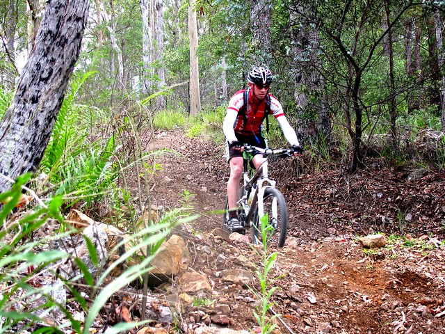
When given a choice between dirt roads and single-tracks, most mountain bikers will chose single-tracks. The quiet trails make it easier to enjoy the surroundings without having to worry about Four-Wheel-Drives and motor bikes whizzing past. So where possible, our route kept to the quieter tracks through the forest.

Eric The Invincible
Refuelling
Simon"This is serious"
We were all glad to arrive at Woodford for a rest and a bite to eat. Because there were so many of us, we split up and ate at different cafes to keep the queues short. Eric gave us a demonstration of hard-core relaxation 🙂

"Riding" through the swamp
"Riding" through the swamp"Riding" through the swamp"Riding" through the swamp"Riding" through the swamp
"Riding" through the swamp"Riding" through the swamp
What cross-country adventure would be complete without a swamp?

The north-east track out of Woodford took us through some beautiful secluded woodland. Unfortunately, parts of the track were quite muddy, and we had to tip-toe around the edges to avoid getting wet.

"I could have bunny-hopped that log"
Eric Directs Traffic"I could have bunny-hopped that log""I could have bunny-hopped that log"Eric Directs Traffic
Eric Directs TrafficEric Directs TrafficEric Directs Traffic

At one point, we had to cart the bikes over a huge fallen log followed by a barbed wire fence. I’m really grafetul to Eric who helped keep people moving in the right direction. One of the things I love about mountain biking in a group is how everyone works together and helps each other out.

Crash Bangers 1/4
At the top of “Trig Hill” we encountered another white-knuckle descent which I like to call “The Giant Drop”. It’s steep, sandy, dusty and bumpy.

As I wached Neil (“Bangers”) ride down it, I was reminded of Banjo Patterson’s description of another rider on another hill in “The Man From Snowy River”:

But the man from Snowy River let the pony have his head,
And he swung his stockwhip round and gave a cheer,
And he raced him down the mountain like a torrent down its bed,
While the others stood and watched in very fear.

Crash Bangers 2/4Crash Bangers 3/4
Crash Bangers 4/4
Unfortunately, Neil was more “Bangers” than “Man from Snowy River” and had a bit of a crash on the way down. Nevertheless, “It was grand to see that mountain horseman ride.” 🙂

"I Think I'll Walk"Dartedevil Darb
Linda: "Will I, won't I?"The Giant DropDown We GoDerek
Thankfully, everyone made it down the hill in one piece – some walked, some rode (amazingly well).

Downhill MayhemPaul
"I Survived The Giant Drop"Tony

I’m definitely going back to Trig Hill and “The Giant Drop” again 🙂

Suzanne
Three AmigosThe Flying PiemanEric

Mount Beerwah
SuzannePaul
From there we made our way to the picnic area below the northern face of Mount Beerwah. The largest of the Glasshouse Mountains loomed over us for most of this part of the trip.

LindaAaronJason
PaulSimonPaul
"We Like to Ride"
Everyone got to the end of the ride safely – tired but happy.

Terry
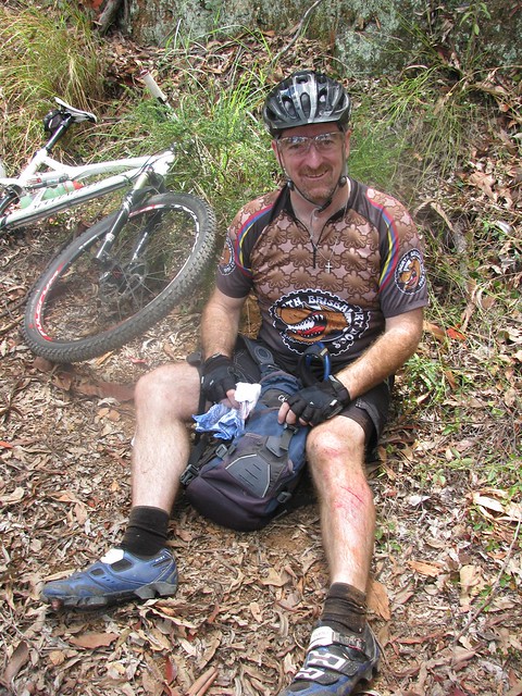
One or two people had a crash. I tried my first aid skills on Terry. Unfortunately I couldn’t unroll the “Micropore” tape so resorted to taping him up with duct tape. Ah the myriad uses of duct tape – one of the reasons I always carry a roll in my pack.

Fixing a Hanger
Geoff broke the hanger on his bike. That’s the thing that connects the gear-changing mechanism to the frame of the bike. When it breaks, the chain can no longer go round, and you can’t change gears. Normally the solution is to break the chain, shorten it, remove the hanger, and complete the ride with no gears (not much fun). David showed us an ingenious bit of kit he brings on his rides – a temporary hanger you can screw into the skewer on your back wheel. The end result is gears that still work, and an enjoyable ride home.
GeoffTony
Yet Another Hill
Thanks to everyone who came on the ride today. I loved being able to share this adventure with so many great people.

63km, 3,500kcal, 1,200m of ascent, six and a half hours of riding including breaks. 32 people started this ride, 32 people finished. If you’re looking for a fun adventure, grab a few friends and give this one a try!

Total distance: 64.02 km
Total climbing: 1202 m
Average temperature: NAN
Total time: 06:25:24
Download file: activity_214551656.gpx
More data

Clear Mountain

Here’s some photos from a recent ride I did with some friends from MTBDirt.com.au at Clear Mountain.

The tracks are not far from my place, so I get to ride them once or twice per week. But I enjoyed this ride even more than usual because I was able to share it with friends. I suppose when we share with others something that’s familiar to ourselves, we experience it for the first time again – which adds to the enjoyment.

We started the ride on a couple of sections of tight twisty single tracks, followed by some steep lung-busting ascents and descents, then a climb to the summit of Clear Mountain, and finally a fast snaking down-hill run to the bottom.

Everyone got back happy but exhausted.

Car ParkChilling Out
Let's go!
I think I can...
Downhill Fun
Brian does the drop
Don't just stand thereFollow me

I’d rate a big loop of the tracks at Clear Mountain as about 9.5 out of 10 on the tough-o-meter. You need medium to high fitness. If you’re going to try some of the steeper descents, drop-offs and downhills you’ll need at least medium technical ability or better. If you’re not confident with some of the more intimidating sections, there’s nothing wrong with playing it safe and walking those sections.

Total distance: 41.29 km
Total climbing: 757 m
Average temperature: NAN
Total time: 04:12:44
Download file: activity_179599122.gpx
More data

Border Ranges – Deans Pictures

Dean the Diesel
In my last post I mentioned that my friend Dean successfully completed the 90km Border Ranges Loop, and managed to match our 4wd speed-wise over the last 5 km.

This man is like a diesel engine – he just keeps going. Plus he has a strange ability to get out of bed really early to get to the start point of a ride.

Here’s some of his pictures of his ride on the same day. It overlapped ours for part of the way, but when the weather got wet – he decided to stick to the original plan 🙂
panorama-1
panorama-2
panorama-3
panorama-4
panorama-5
panorama-7
panorama-8
panorama-10
panorama-13
panorama-15
panorama-16
simes-rd

panorama-6

View Larger Map

Dear John

Birthday Cake

Dear John

Thanks for your letter which I received 19 years ago. I think I replied at the time, but I’ve re-read your letter so many times, I can’t remember what I said, so I thought I’d send you this second reply.

I just wanted to let you know how much I appreciate your love for life, and the way you made concrete decisions to get out and explore the world. I loved your comment that you “flew out to Alice springs on a Friday and had a look around”. That’s so true to character of you – some place seems interesting, so why not go and “have a look around”? Alice Springs, The Rock, the Ghan, the Great Ocean Road, the Great Barrier Reef…. you were prolific. I remember you telling me once you wanted to go to Antarctica, and what surprised me most was that you didn’t actually get a chance to visit there – but you had a good excuse.

It’s taken me a couple of years, and I thought I’d lost it, but today I found a photo of you on your 41st birthday when you had dinner with us, which is why I decided to write to you today.

You once said to me that you thought that compared to what life was like a couple of centuries ago, these days we are often lucky enough to live several “life times”. I’ve often thought of that, and consider myself one of the lucky ones. I feel like I’m part way through my second or third “life time” and have been incredibly lucky to see and experience the things that I have.

Well most of the things. One of the events that still saddens me was when you died almost 15 years ago.

That really pisses me off, and I often think of all the stuff we missed out on sharing together. I raised a glass “to absent friends” a few weeks ago and thought of you. In fact there’s not a week that goes by that I don’t remember something about you.

Like how you were the last person to beat me in a game of chess.

How you could quote passages of Shakespeare verbatim and tell me why you loved his plays.

How I’d ask you a philosophical question and you’d answer in that County Kerry brogue with a twinkle in your eye, “God knows, Neil”.

How you’d never eat your bloody vegetables. No wonder you got stomach cancer. I hope you don’t mind but we tell our kids about that when they try to get away without eating veggies.

How I had a curry with you, and you selected a bottle of Galway Pipe Port as the wine to go with it – and we both finished the port that night – geeze my head hurt the next day.

How you had some magic power that could tell who had which card in a game of bridge – how the hell did you do that?

How you wore hiking boots with shorts – even when you were just making a casual visit – almost as though you were ready for a hike in case the opportunity arose.

How I paid you $5 to help me solve one of the questions in the “Tournament of the mind” competition, because I was too dull to work it out after several hours, but you solved it in a couple of minutes.

Most of all I remember the shock that made me feel like I’d been kicked in the stomach when I found out you’d died – almost a month after it happened, and I never got a chance to say goodbye, or to let you know how much I loved you.

You left a huge hole when you died, John. But if I’m really honest with myself, I have to admit that while it was a tragedy for us, it wasn’t a tragedy for you because you lived well. You did everything (or most things) that you dreamed of doing. You looked at the world, and life, and delighted in it. You didn’t suppress your whims and you made an incredible impact on the world. So much so that even now I can hardly read this bloody page because my eyes are full of tears.


Family
I’m so thankful Liz and I were able to visit your home village in Caherdaniel, meet your wonderful family, and see the house you grew up in. I enjoyed spending time with with a bunch of people who spoke like you, had the same quaint turns of phrase, and even looked like you. When I was with them it felt like I was with you.
Caherdaniel
Most of all I’m thankful for what you taught me – just by example: To live life to the fullest, and delight in every day.

Your friend

Neil
NephewsGravestone

Here’s the letter john wrote to me in 1993. To view it, just click on “Page 1” below, then click on “newer” to move to each successive page. His description of gold mining is priceless.
Letter from John O'Shea November 1993 Page 1Letter from John O'Shea November 1993 Page 2Letter from John O'Shea November 1993 Page 3Letter from John O'Shea November 1993 Page 4Letter from John O'Shea November 1993 Page 5Letter from John O'Shea November 1993 Page 6

Taylors Break

Cabbage Tree Range Road
I enjoyed last week’s solo ride down Taylors Break in D’Aguilar National Park, so I wanted to share it with a few friends. About 20 of us set off from Samford, following the Pony Trails to the bottom of Mount Nebo.
At the summitAt the summit
The ride consisted of two big 500m climbs. The first one was up the Goat Track, then along a fire trail to the Lookout at the Summit of Mount Nebo.
Andrew chills outDoes it bite?
From the summit we followed Hammermeister Road to the top of Taylors Break. But before starting that steep descent, a few riders took a detour into town to get some more water (it was a hot humid day), while the rest of us lazed around in the shade catching out breath.
I'm ok
Taylors Break is a lot of fun to ride down. The narrow track flows beautifully as it goes down the mountain. Unfortunately, towards the bottom it gets steep and slippery. Darb took a jump into the air over one of the water bars. While he was in the air, a stick went through his front spokes. As he hit the ground his front wheel slid out from under him, and he ended up on the ground. It looked painful, but Darb’s made of tough stuff, and after a few minutes he was ok and ready to keep going.
Steep Descent
Tim approaches one of the steep sections of the track. Once you go over the edge, it’s pretty much a controlled skid to the bottom. There’s no stopping – you just have to keep your front wheel straight and try to stay on the bike.
Caught with his pants down
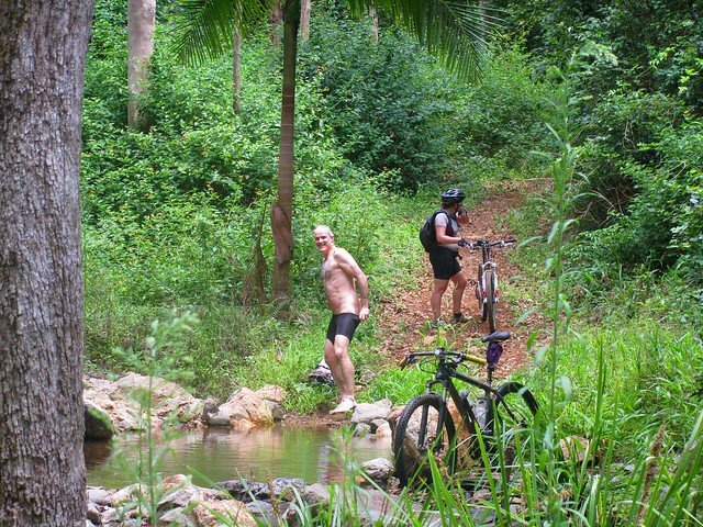
Andrew also had a crash on the way down, and suffered a nasty bruise on his thigh (that photo is censored). He decided to strip off and wash his injuries in the creek at the bottom of the descent. Unfortunately, while he had all his gear off, Becca came round the corner. Both of them got a nasty fright, and poor Andrew had to hastily get his gear back on.

There are lots of inviting, quiet creeks like this down the bottom end of D’Aguilar National Park.
Cabbage Tree Range Road
Once we reached the bottom, there was no way to go but up. Cabbage Tree Range Road was the second major climb of the ride, also rising about 500m. It takes about an hour to climb, and by the time we got to the top we were all feeling pretty tired…
Tim
…except for Tim who (amazingly) rode the whole climb in middle ring. For those who don’t ride mountain bikes, it has three cogs on the front to make riding easier: A big ring for going fast on roads, a middle ring for moderate terrain that requires a bit of effort, and a small (“granny”) ring for steep hills and narrow winding technical sections. It takes a lot of strength to nail a long steep climb like this using the middle ring.
Brian makes it to the topRussel makes it to the top
Tim had a long wait while the rest of us mere mortals completed the climb.
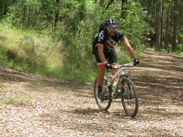
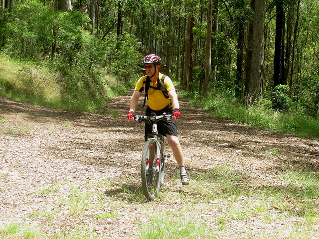
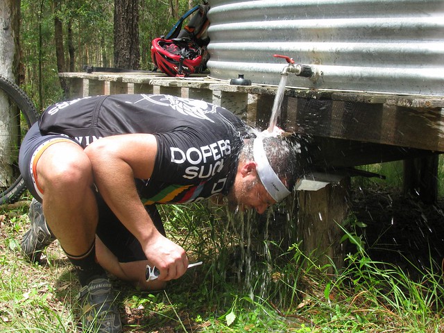
Brian under the tap
Becca under the tapDarb and GeoffChilling by the water tankNeil BPaul
The best thing about the climb up Cabbage Tree Range Road is the water tower at the top. Most of us had a delightful soak under the tap to cool off.

Adam took some great photos as well which you can view here.
Andrew also took some great photos which you can view here.

The ride was 52km with about 1,500m of vertical ascent. I burned up about 3,600 kcal. Because of the heat and humidity I rate it 9.5 out of 10 on the tough-o-meter.

Thanks so much to everyone who came on the ride. It’s a lot of fun being able to do rides like this in a group. Everyone had to work really hard. Some people were totally exhausted by the end. I think everyone enjoyed themselves.

Total distance: 52.62 km
Total climbing: 1501 m
Average temperature: NAN
Total time: 06:23:15
Download file: activity_143273848.gpx
More data