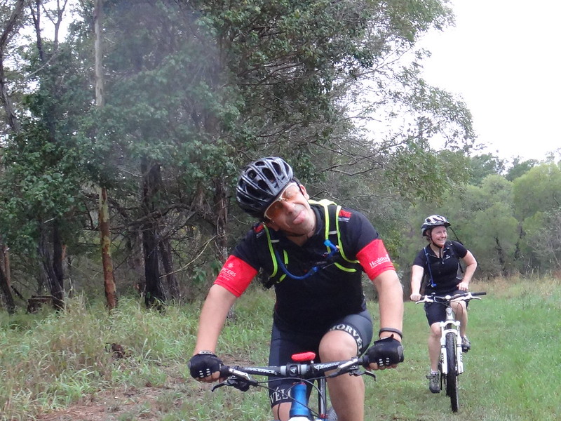
When the alarm went off at 5:00 AM, I peeked through the curtains and discovered it was raining heavily.
“Bike or bed?” I sleepily asked myself.
Surprisingly quickly, I decided to “just show up” and see what happened.
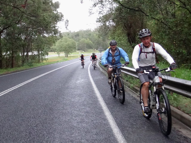
While I drove out to Kobble Creek, the rain eased to a light drizzle, then stopped.
My riding buddies had decided to “show up” too, so we headed off together into the hills under grey skies.
Our plan was to check out some un-explored trails in the hills around Kobble Creek, then follow a loop along the western shoreline of Lake Samsonvale.
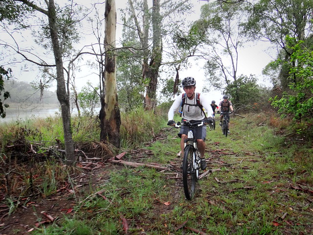
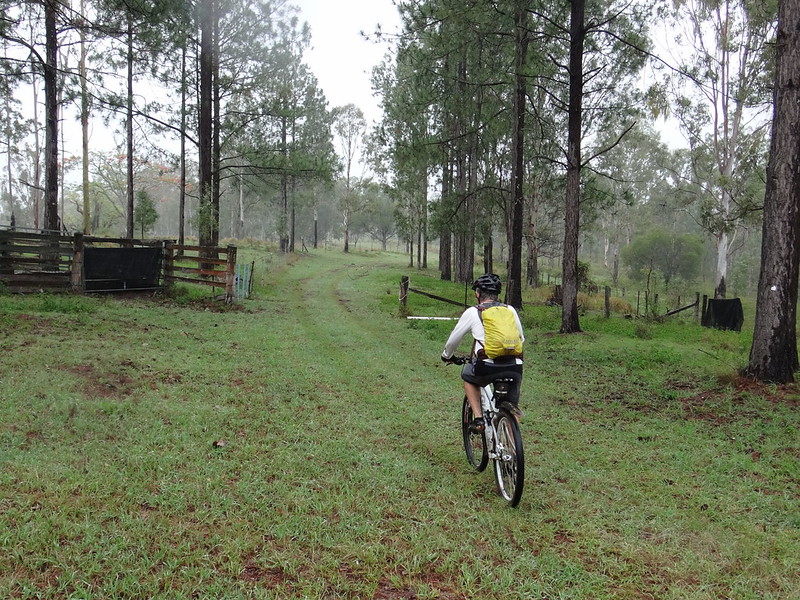
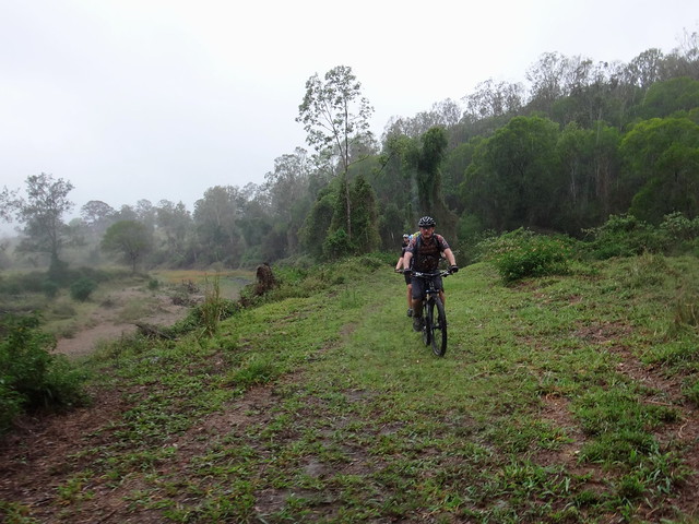
We left the paved road after about a kilometre and followed some fire breaks through bushland on the slopes of one of the hills.
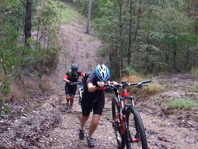
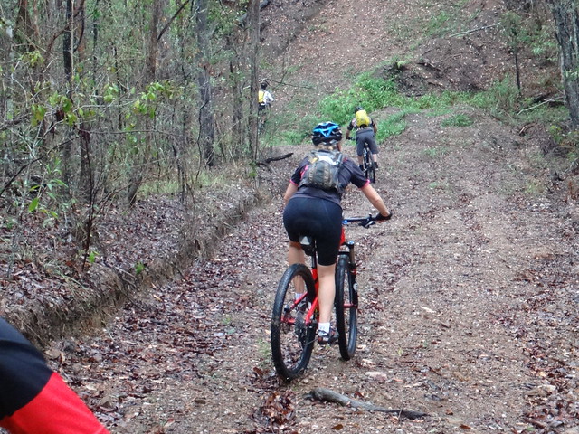
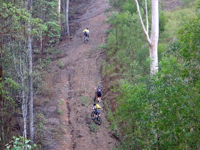
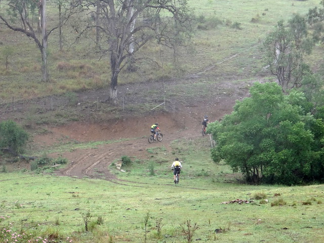
There were few flat sections. Steep hike-a-bike climbs usually followed slippery descents.
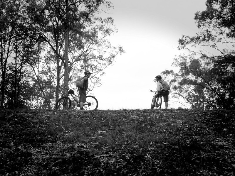
Eric and Darb waited at the top for us to catch up, then we repeated the process several times.
Rear tyres fish-tailed behind us as we tried to control the precarious ride down.
This was followed by impossibly steep uphill trudges. Although Eric impressively nailed a lot of them.
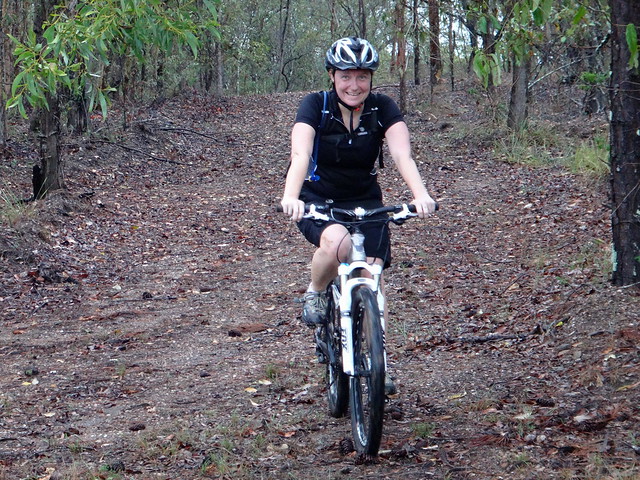
Suzanne hasn’t been on the bike for over a year and handled this tough section remarkably well.
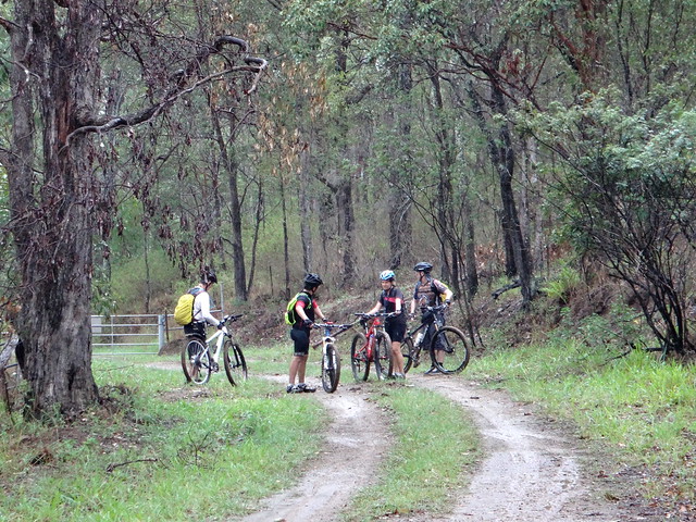
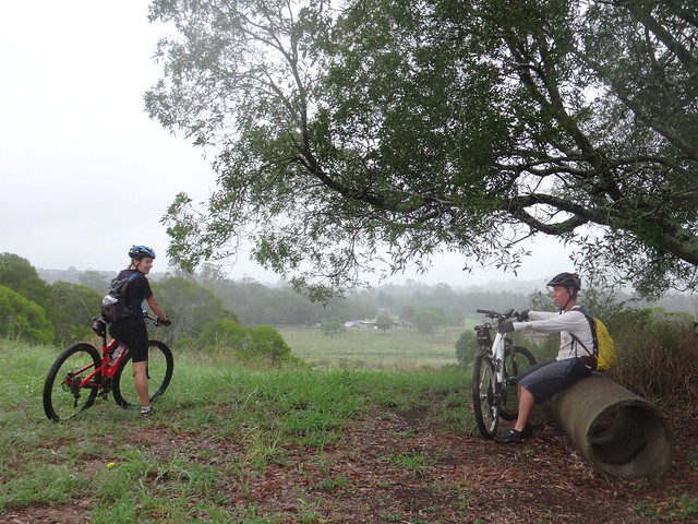
Once we emerged from the bushland, we took a quick break.
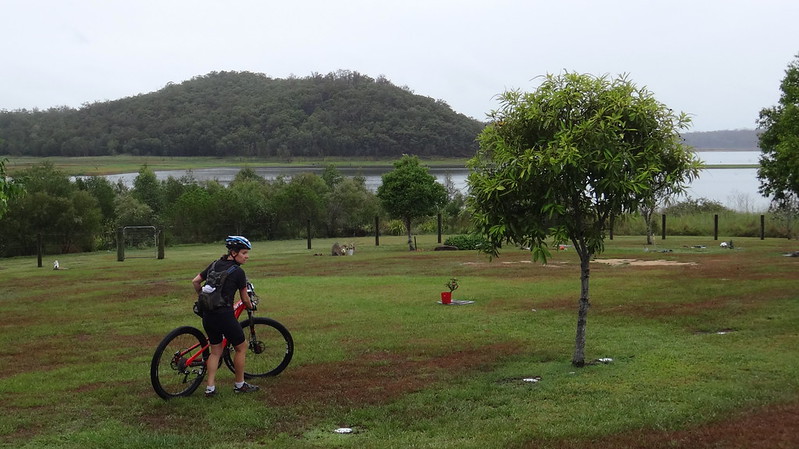
From there we rolled down Golds Scrub Lane to the lake side to have a look at the cemetery.
The village of Samsonvale used to be located here. It was inundated when the North Pine Dam was built in the 1970’s. All that now remains of the old town is Samsonvale Cemetery overlooking the water that covers memories of farm houses, shops, schools and post offices.
We skirted around “Golds Scrub” – a small patch of remnant hoop pine forest near the cemetery. The North and South Pine Rivers are named after vast hoop pine forests that thickly covered the land between those rivers prior to European settlement. This small patch of forest is a memory of how those majestic forests would have apeared.
One of the other remnants around here is a disused railway line. We followed a short section of the old “Ferny Grove – Dayboro” line back towards Kobble Creek.
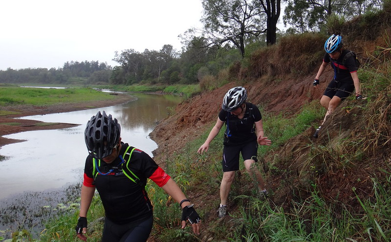
Many creeks have run dry during recent months with little or no rain. We decided to take advantage of this and scramble across Kobble Creek. Although there wasn’t much water, we still had to clamber down steep banks to get to the creek bed.
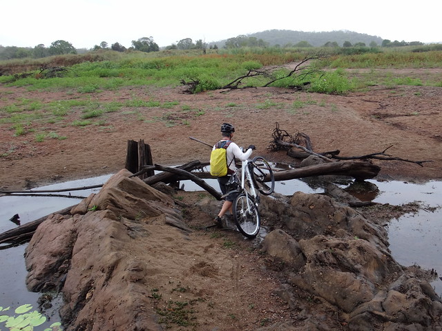
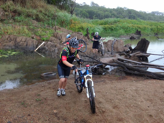
After passing all the bikes down we slid down the muddy banks…
…then rock-hopped over a narrow section of the creek.
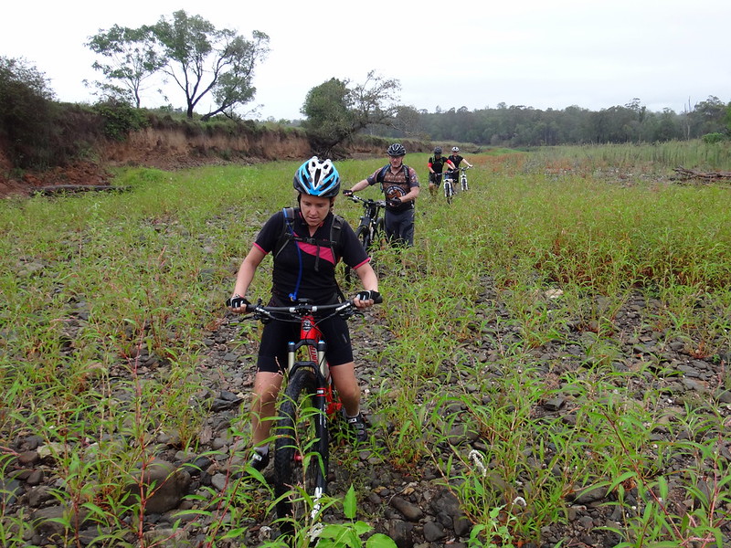
It became obvious how “Kobble Creek” got its name as we bumped over the dry rocky creek bed for a couple of hundred metres. Like a rough medieval kobbled street the rocks jarred our bones, making it difficult to ride.
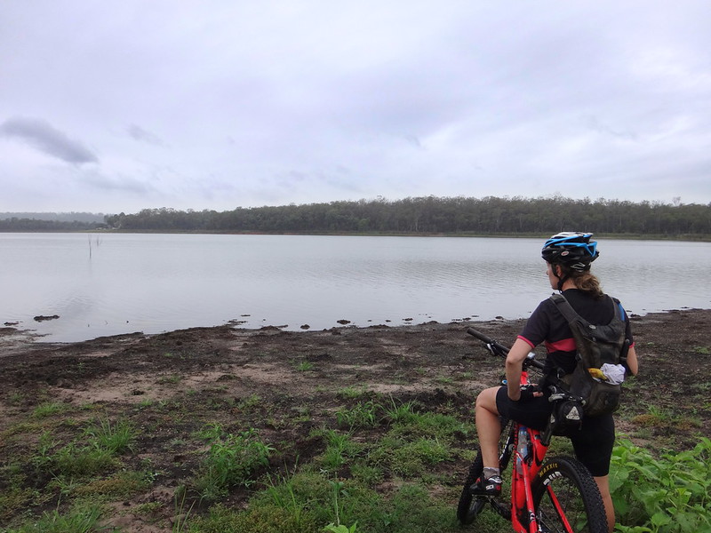
When we reached the other side, we followed a familiar trail down to the shore line. We’ve swum here in previous years, and collected mangoes from a nearby tree. Today the mangoes weren’t yet ripe, and it was too cool and muddy to swim comfortably. But the view was still enjoyable.
From there we followed the shoreline for several kilometres.
This old irrigation dam is probably left-over from the days before the dam was built.
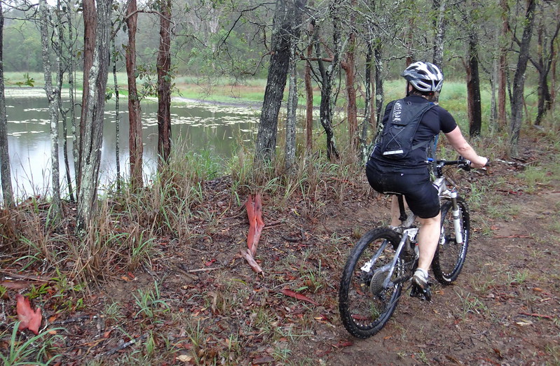
The rain started falling gently as we followed numerous inlets beside the water. Although the ground was damp, it was mostly covered with grass which helpd us avoid much of the mud.
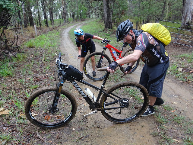
The final climb up to Whiteside Road was very boggy. Mud can add a couple of kilograms to the weight of a bike and make it difficult to control, so we took time out to scrape it from the tyres…
… and to have another quick rest.
The final section of our adventure was through bushland north of Whiteside Road towards the North Pine River.
Rain was starting to fall heavily now, but we were warm from the exertion, and didn’t feel any need to cover up.
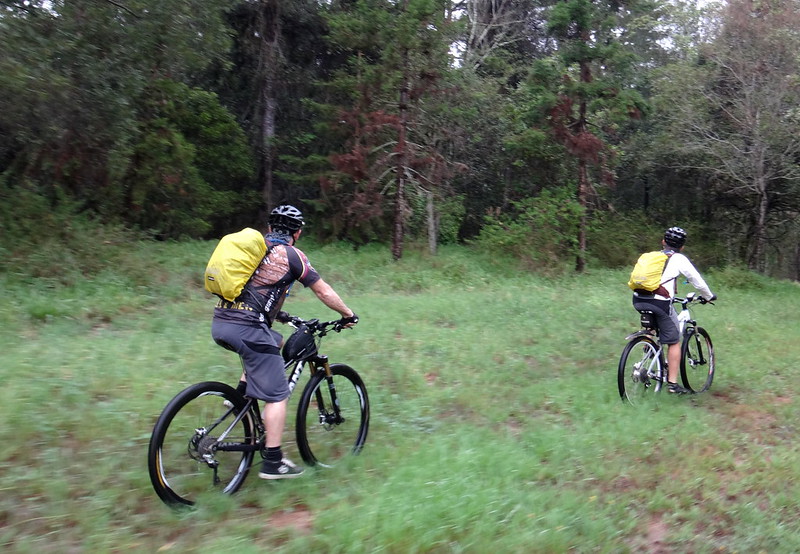
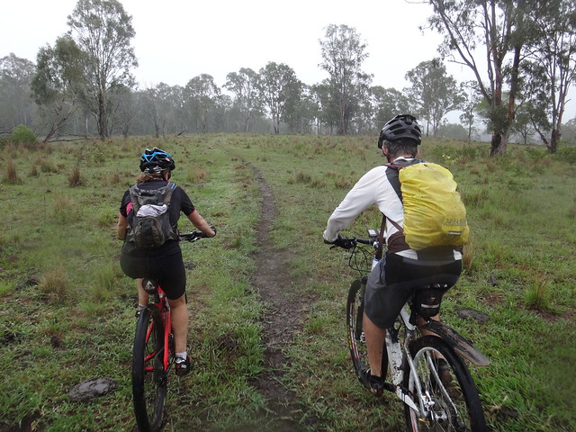
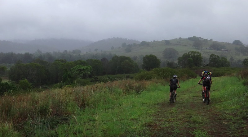
We rode over undulating fields following faint tyre tracks…
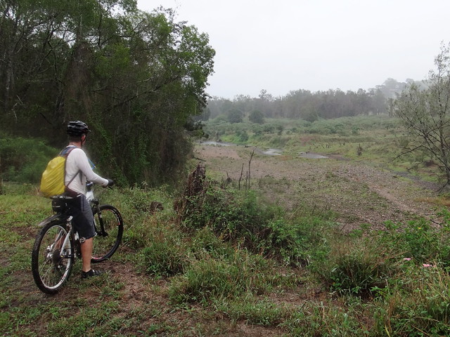
When we eventually reached the North Pine River I was surprised to discover that it too had run dry.
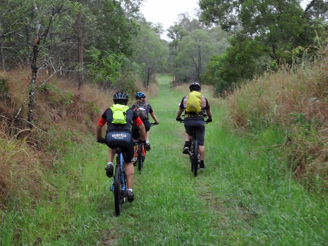
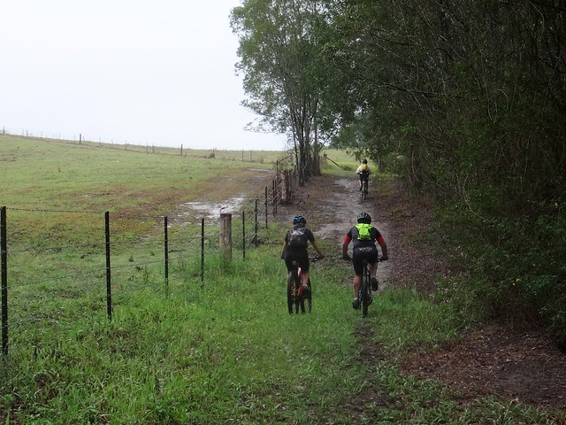
The track adjacent to the farm fences was in perfect condition.
We stopped on the hilltops to allow everyone to catch up.
We eventually reached Mount Samson Road near its bridge over the North Pine River. From there we had an easy 3km roll along the bitumen back to our starting point at Kobble Creek.
We rode a total of about 30km in about 4 hours including stops. I burned 1,800 kcal, and we climbed almost 500 metres in vertical ascent.
I’ll rate this ride 6.5 out of 10 on the tough-o-meter. In dry weather it would be easier – maybe 6 out of 10.
Thanks to my waterproof friends: Becca, Tom, Suzanne, Eric and Darb for a fun ride. Well done for “showing up” despite the wet weather.
Total climbing: 707 m
Average temperature: 18.8
Total time: 03:53:12
More data


