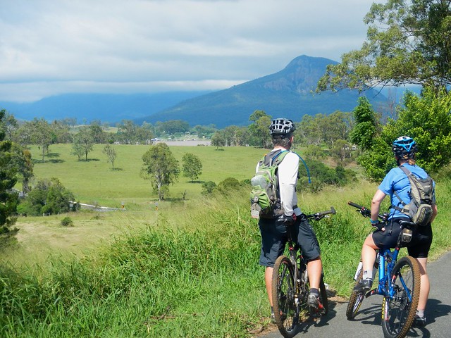
Spicers Gap

Mount Greville
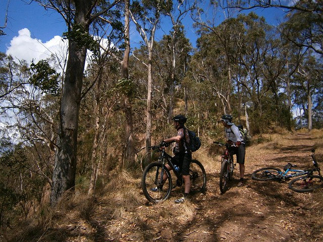
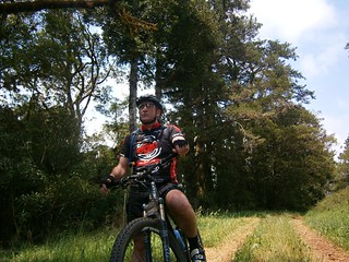
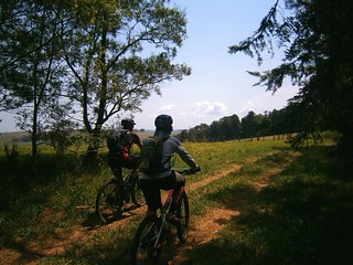
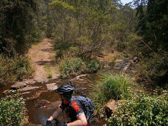
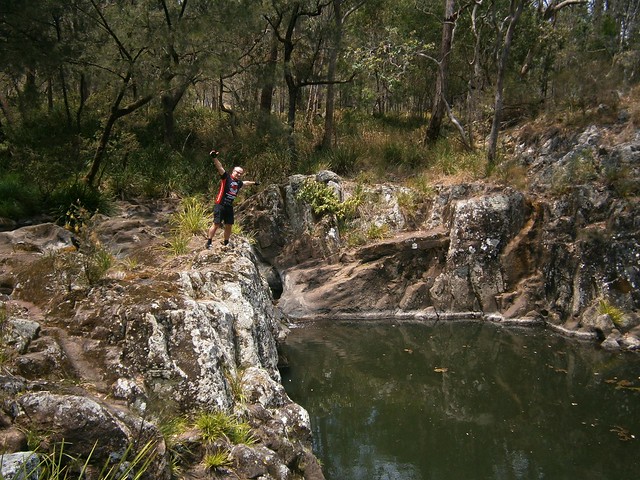
The aim of today’s ride was a reasonably long cross-country ride from the Southern Queensland town of Boonah, to Spicers Gap on the top of the Great Dividing Range and back again. It was challenging but had the benefit of being enjoyable despite recent wet weather.
Tunstall RoadOn the Road
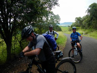
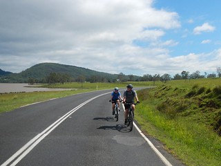
We left Boonah and made our way towards Lake Moogerah via some quiet back-roads. Most of the country around Lake Moogerah is hilly, so we had to work reasobly hard. But it’s worth the effort. The views are amazing!
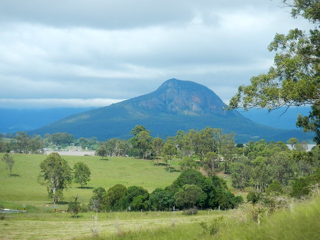
Mount Greville
The Ugarapul Aboriginal people called this area “Moojirah” meaning “Place of thunderstorms”. When Reynolds Creek was dammed in 1962, the local authorities named the new dam “Moogerah” after the local aboriginal place name. When I saw the clouds brooding over Mount Greville in the distance, I agreed with the Ugarapul. It’s a perfect name 🙂
Lake Moogerah Road
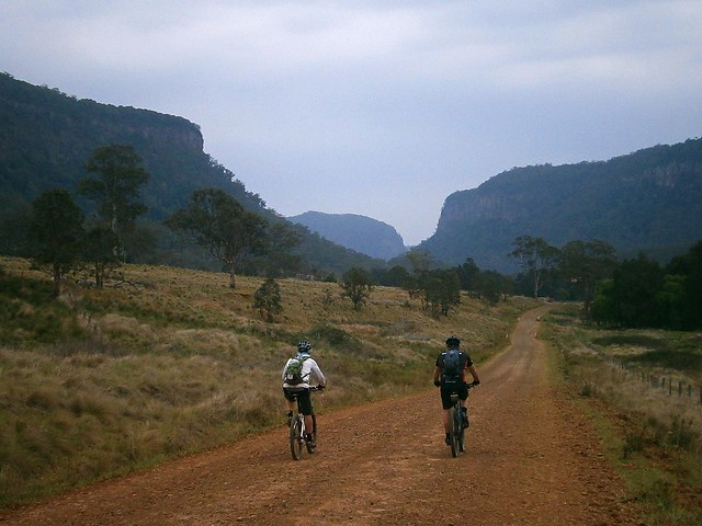
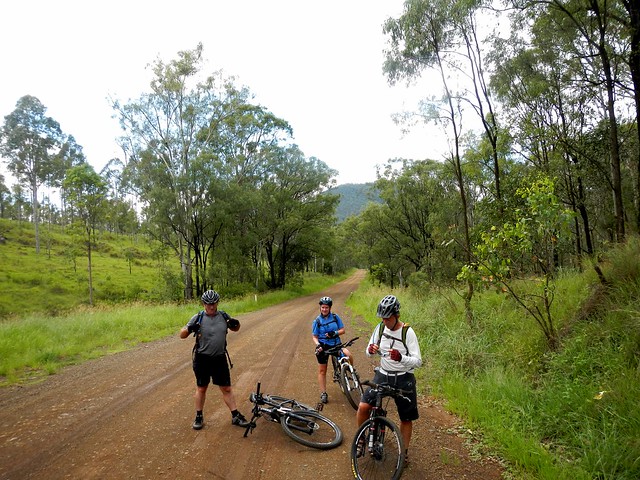
Our track took us around the back of the lake and up towards Spicers Gap Road. We took it easy on the undulating tarmac and gravel roads, aware of the impending long climb up the Great Dividing Range.
Spicers Gap Road
Spicers Gap RoadSpicers Gap Road
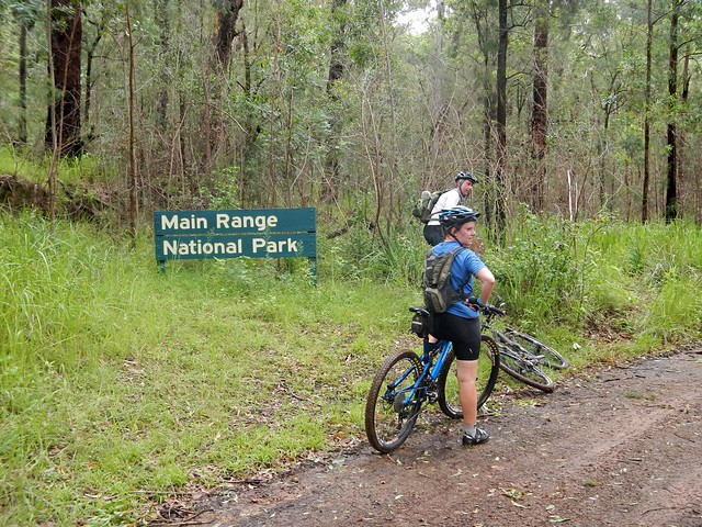
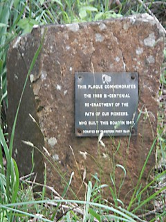
Spicers Gap road has been used for thousands of years by Aboriginal people as a (relatively easy) way of getting over the Great Dividing Range. In the 1840’s, stockman Henry Alphen discovered it was a much easier route for moving bullock drays than nearby Cunninghams Gap. So in 1847, with the help of convict labor, the government built the road along the ancient Aboriginal pathway. It’s steep – rising 600 metres in about 8km. That makes it a perfect mountain biking route 🙂
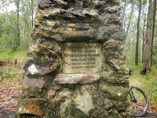
Pioneers Graves
Moss's WellPioneers Graves
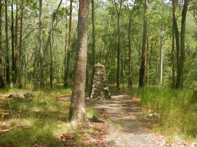
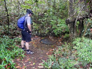
On the way up, there are some historical sites that provide a welcome break from the long climb, including a small cemetery containing the graves of several 19th century pioneers, and a curious freshwater spring, known as “Moss’s Well”.
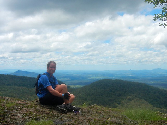
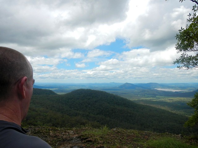
Enjoying the view
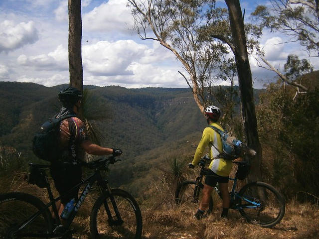
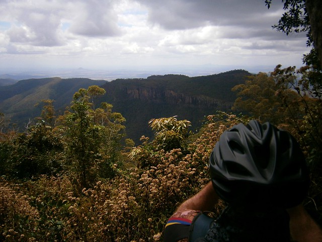
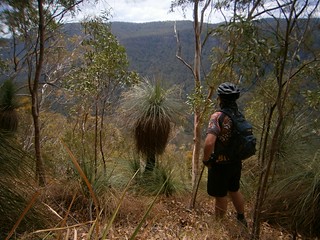
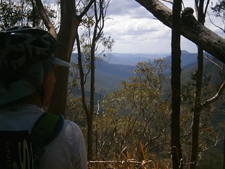
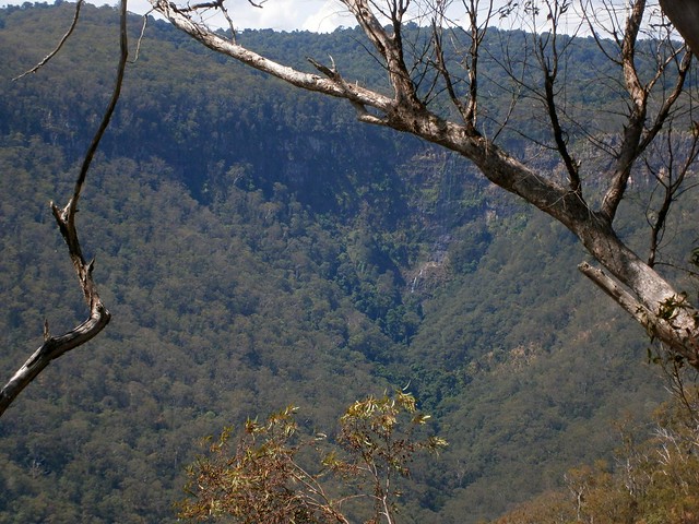
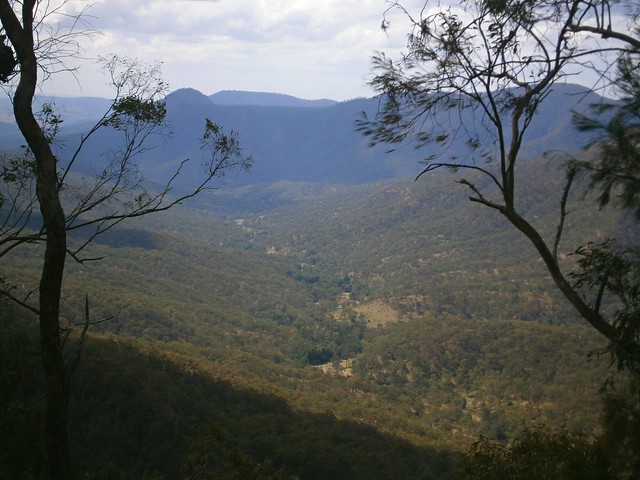
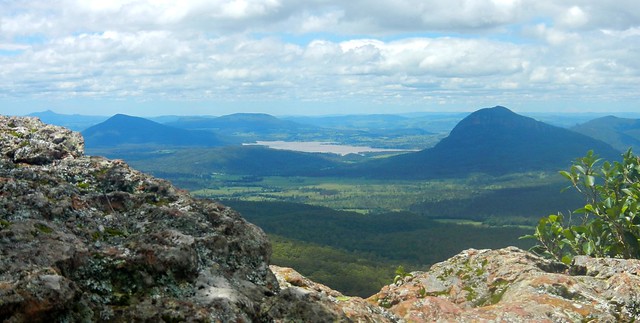
The “highlight” for me was the wonderful view at the top of the long climb.
Enjoying the view
Enjoying the view
Enjoying the view
The views to the east are stunning. It was a perfect place to stop for a bite to eat, take in the panorama, and cool off.
Spicers Gap Road
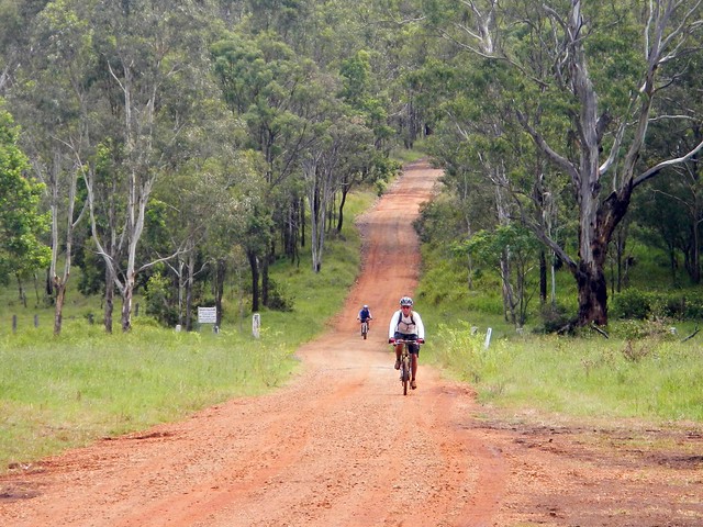
And the up-side of any long climb on a bike is that you get to enjoy a long fast descent back down the hill. Riding down the steep, winding, muddy road with flecks of clay flying up into my face, hitting speeds of 65 km/h was a lot of fun.
Mount Alford Pub
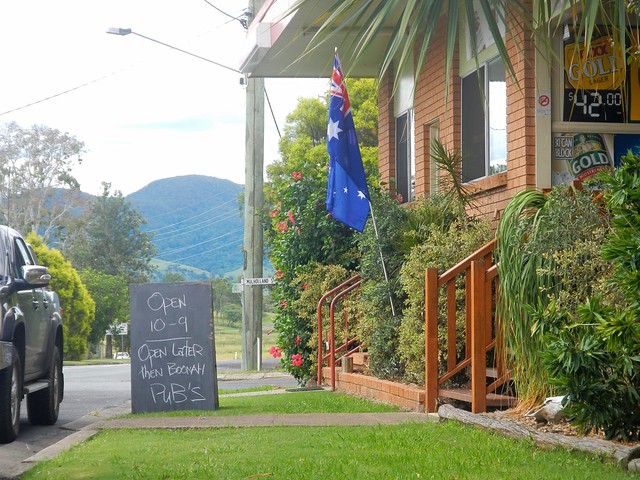
Thoroughly exhausted, we made our way back to Boonah via the small town of Mount Alford. The local pub beckoned to us with its proud boast that it has longer opening hours than neighboring Boonah. We couldn’t resist. Hard work on a bike makes a drink at a pub taste so much better.

I’m grateful to Becca, Eric and Tony for agreeing to ride with me on yet another whimsical day of adventure and exploration on the bike. And especially grateful to Eric who let me “slipstream” behind him for some of the ride when I was feeling tired. We call it “getting a tow” because sitting behind a stronger rider makes so much difference when you’re tired.

We rode almost 80km in 6.5 hours including breaks. During that time we climbed about 1,300m, and I burned about 3,700 kcal. This is a tough ride. You have to first ride 40km, and then do a long 600m ascent up a dirt track, made more difficult by the soft wet surface. I’m rating this one 9 out of 10 on the tough-o-meter. On a hot mid-summer day it would be even harder. In dry winter weather I’d probably rate it 8 to 8.5.

Total distance: 79.28 km
Total climbing: 1382 m
Average temperature: NAN
Total time: 06:26:57
Download file: activity_276466930.gpx
More data

Update

While at the State Library reading random old copies of the Moreton Bay Courier from the 1840’s I stumbled on this article about Spicers Gap Road. Click on the image for a larger more easy to read version.

Moreton Bay Courier 1 May 1847

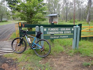
Hardings Paddock

Horses

The purpose of today’s ride was to fill in a “missing link” on my map between Walloon and Hardings Paddock. I’ve done some fun rides with friends at both places in the past. Today’s wet weather provided an ideal opportunity to complete the 27 km gap between the two places and enjoy some scenic country out the back of Ipswich in South-East Queensland.
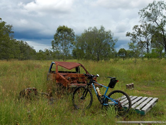
Car Wreck
In typical mtb style I headed south out of Walloon looking for a dirt track I could follow. It wasn’t long before I found Mount Elliot Mine Road – a road casement which runs along sone one of the many mines around Ipswich.
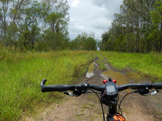
The Road Less Travelled
The track was a bit muddy in parts, but was very rideable despite the wet weather. It eventually led me to the small town of Willowbank near the RAAF base at Amberley.
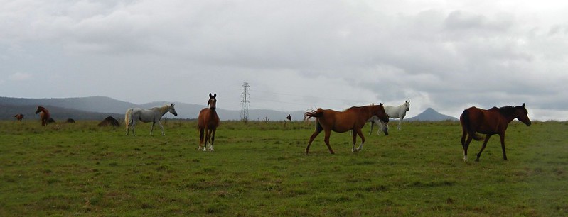
Horses
After battling some busy traffic along the Cunningham Highway for a couple of hundred metres, I turned south and followed another dirt track past some beautiful properties with some gorgeous horses galloping around. They were pretty curious and galloped up to me as I rode past. A bunch of horses galloping towards you is a wonderful sight.
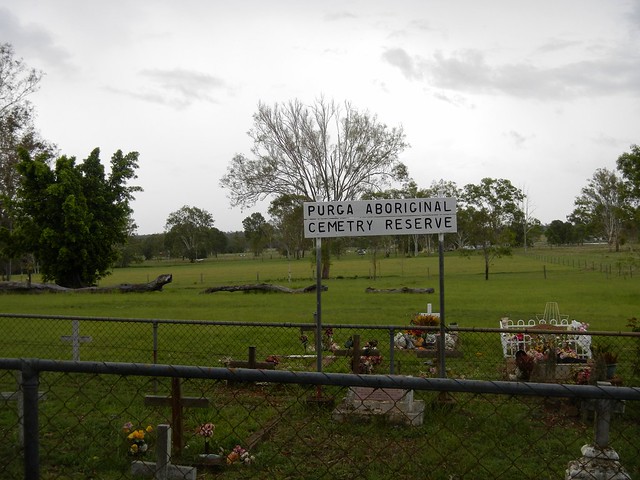
Purga Aboriginal Cemetery Reserve
This small cemetery is a couple of kilometres from Hardings Paddock. It’s unusual in that it’s a reserve dedicated specifically to Aborigines. I had a bit of a look around and was gobsmacked by what I found….
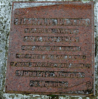
Harold BlairHarold Blair

Harold Blair
Passed away 21 May 1976
Go our beloved
Be free in the land
From whence you came
Dorothy, Nerida
& Warren

Harold Blair was a a world-famous Aboriginal Singer and activist. He was born in Cherbourg Aboriginal Reserve and grew up in Purga, south of Ipswich. The Australian federal electorate of Blair is named in his honor.

Hardings PaddockHardings Paddock
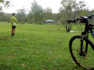
A little further down the road and I eventually reached Hardings Paddock. Feeling pretty pleased with my self, I stopped for a quick lunch before heading back to Walloon.

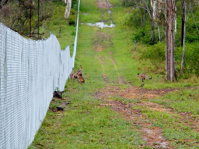
Kangaroos
Hardings Paddock borders on a military firing range. As I rode past I saw these kangaroos huddled by the fence. They looked like they wanted to get out. Who knows? Perhaps they had decided that the military life wasn’t for them? Who can blame them?

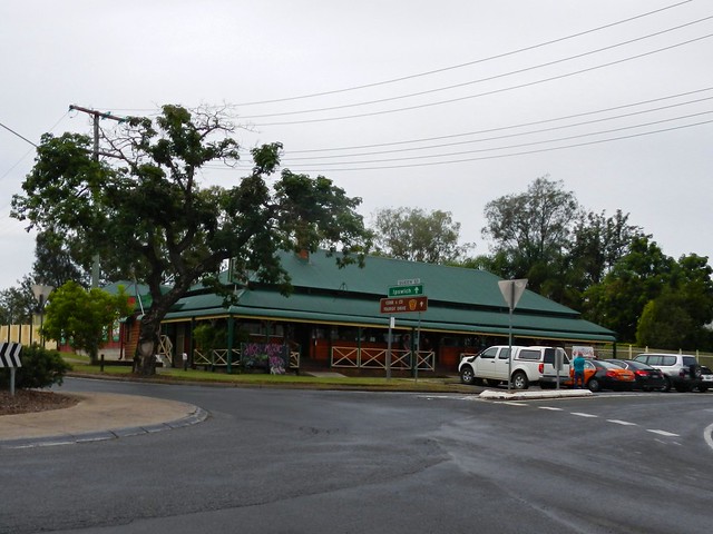
The Walloon Hotel
I rolled back into Walloon after riding about three and a half hours including breaks. The total ride was just under 50km, with almost 400m of ascent, and about 1,800 kcal.

This was a pretty easy ride – flatter than what I’m used to, and with a large amount of quiet bitumen roads. It was ideal for a wet day, but I imagine it might get a bit hot on a fine summer day. The short stint on the Cunningham Highway was unpleasant, but the rest of the ride was quite enjoyable. I’ll rate this one 6.5 out of 10 on the tough-o-meter.

Best of all, my map has one less missing gap 🙂

Total distance: 48.54 km
Total climbing: 425 m
Average temperature: NAN
Total time: 03:29:55
Download file: activity_273695902.gpx
More data

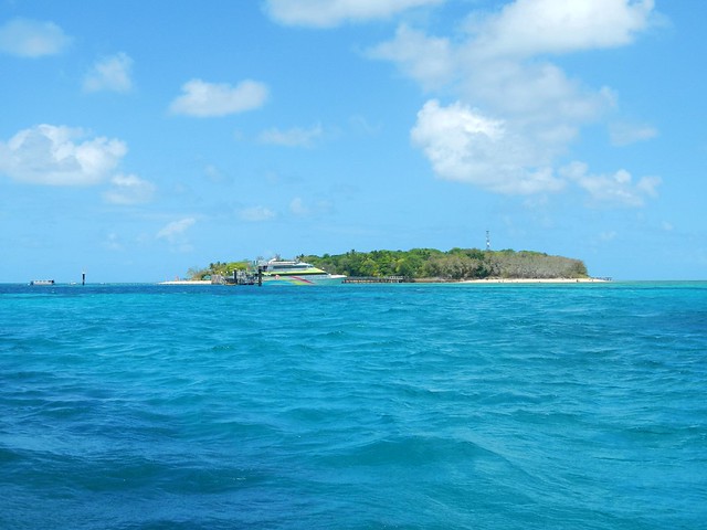
Green Island

Green Island
Green Island is a small tropical island on the Great Barrier Reef, about 25km off the Queensland Coast near Cairns. Just over 500 metres across at its widest point, you can walk around it at a leisurely pace in about half and hour. It’s a popular tourist destination for visitors to Far North Queensland, so we decided to check it out while we were in the area.

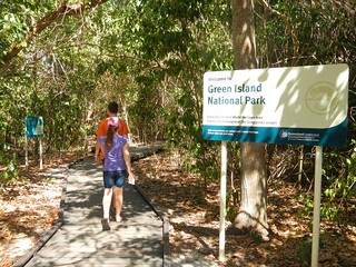
Green Island National Park"Wunyami"
The Guru-Gulu Gurandji Aboriginal people are the traditional owners of the island. Their name for it is “Wunyami”, which means “Place of the hole in the nose”. Their story tells of a little turtle who swam to Green Island to drink some freshwater from a creek. Because there were many larger turtles trying to get a drink, he decided to drink from a crab hole filled with water. He didn’t realize it, but the little turtle woke the crab that lived in the hole. The crab pinched the turtle’s nose making holes in it. Eventually the little turtle grew into a big strong fellow. The other turtles noticed this. Because they wanted to be big and strong as well, they asked the spirits to give them all holes in their noses. When the Gurandji people heard of this, they paddled their canoes to Green Island and performed the first nose-piercing ceremony which then became part of the initiation ceremony on Green Island.

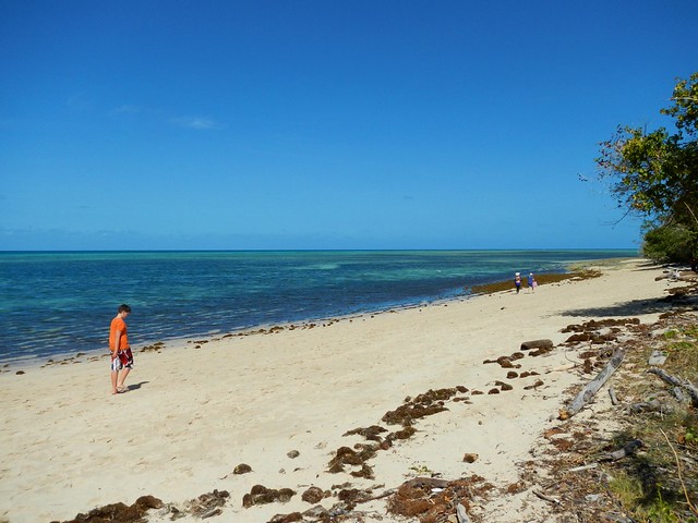
Tropical Beach
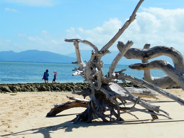
Driftwood
We had a relaxing time wondering around the island, following the boardwalks through the forest, and then walking along the sandy beaches.

Snorkelling at Green Island
We also did the touristy thing, and tried snorkelling through the coral.

Glass-Bottomed BoatSemi-sub
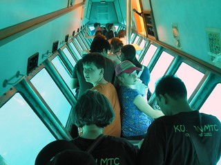
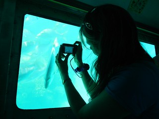
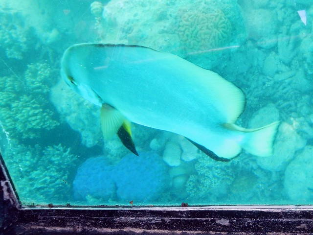
An easy way to see the reef without getting wet is either in the semi-submersible submarine, or the glass-bottomed boat.
Semi-subReef Fish
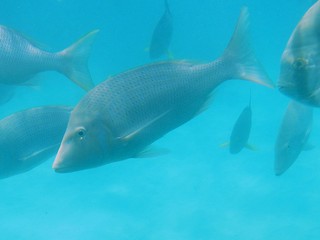
I enjoyed the submarine – it let us get up really close to the fish.
Feeding the Fish
Fish-watching
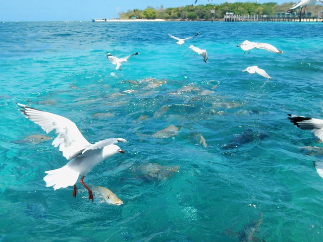
The boat operator fed the fish while we were out, which excited the fish and the seagulls 🙂
LizzieSea Shell
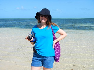
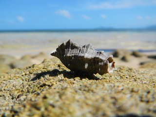
Green Island is a beautiful place. I’m really glad we took the time to explore it!

Mossman Gorge

Dreamtime Stories
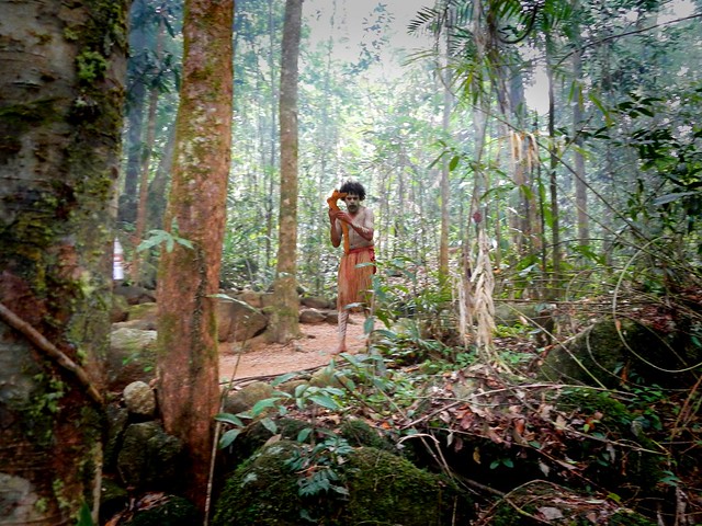
Mossman Gorge is part of the traditional country of the Kuku-Yalanji Aboriginal people. We spent a few hours exploring this area with an Aboriginal guide as part of a small group tour organized via the Mossman Gorge Centre. The gorge is a popular destination for tourists, but the problem is that there isn’t anywhere to park at the end of the road where the gorge starts. So the Mossman Gorge Centre was built further back towards town with a huge car park, and regular busses that run every 15 minutes to take visitors up to the gorge, without having to hassle about where to leave the car.
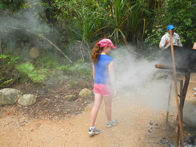
Smoking ceremony
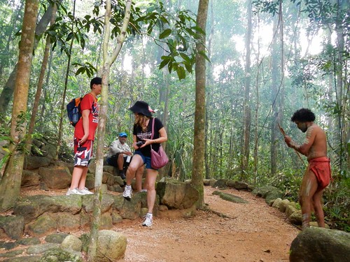
We started our walk with a smoking ceremony. This is a traditional way of welcoming visitors and protecting them from harm during their stay. Everyone walked through the smoke before walking into the forest.
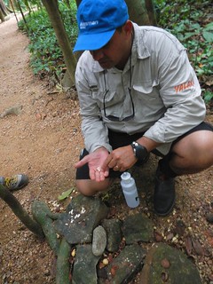
Bush tuckerBush tucker
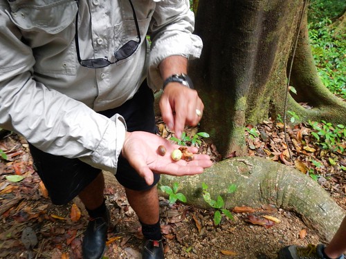
The rainforest is full of delicious food if you know where to look. Rodney, our guide, showed us some things we could eat, and ground them up for us one some stones which had been in use for centuries. We could still see the dents in the stones where nuts had been ground many times before over hundreds of years.
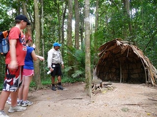
"Wait a while"Shelters
He also explained how the plant we call “Wait-a-while” was so important to his people. While we think of it as a prickly pest, it was essential in providing struts for building shelters. The spiky tendrils were useful for hunting snares and fish traps. The longer sections of cane could be cut open for drinking water, and it could also be used as a climbing aid for scaling tall rainforest trees.
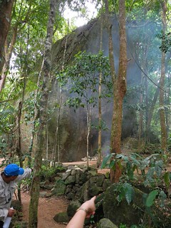
Old meeting placeDreamtime Stories
The highlight for me was when we got to sit down and listen to the Kuku-Yalanji dreamtime stories…

When their ancestors came to rainforest, they didn’t know what they could eat. A good spirit named Kubirri came to them in the form of a man. He showed the people what they could eat, what things were poisonous, and how they could prepare other foods so they would be good to eat, and not harmful. Because of Kurbirri, the Kuku-Yalanji had lots of food and were happy.

But one day, Wurrmbu, an evil spirit came to live there. After this, food became more difficult to find, and people went missing. He was too strong for the people to stop. Thankfully, Kubirri said he would protect the people and the animals from Wurrmbu. He called the people and the animals to follow him up into the mountains. The animals followed him, but the people were scared and didn’t follow him.

While Kubirri and the animals were in the mountains, Wurrmbu cursed them and turned them to stone. If you look at the top of the mountains near the gorge, you can still see the forms Kubirri and the animals in stone. Kuburri stands between the animals and Wurrmbu, holding him back, and protecting them from harm.
Aboriginal Rock Art
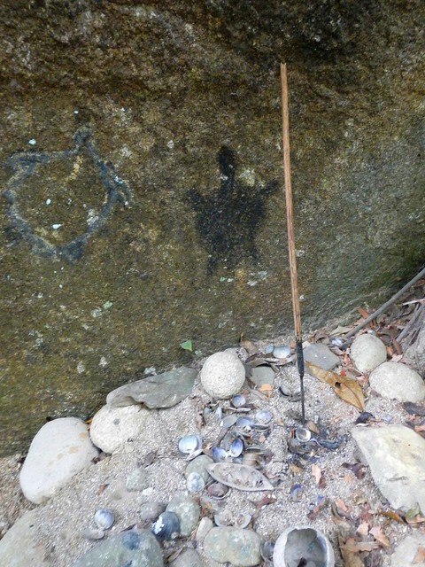
At the rock shelter we got to see some old rock art. Rodney told us this painting of a turtle was thousands of years old.
Rock Pools
Rock PoolsRock Pools
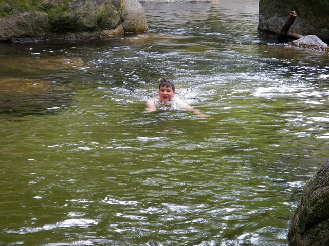
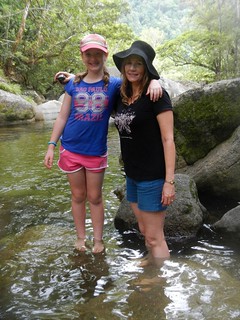
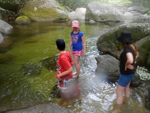
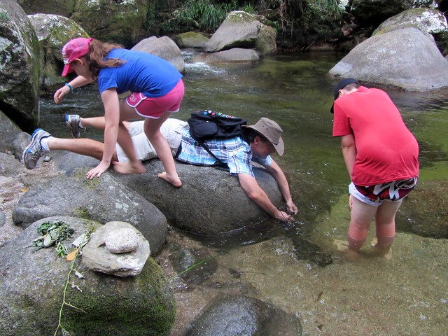
Partway through the tour, we got to spend half an hour or so splashing around in one of the crystal clear rock pools, in one of the creeks that feeds into the Mossman River.
Rock Pools
Rodney said the water was about as pure as you could find in the wild, so I thought I’d taste it to see for myself. I agreed with him 🙂
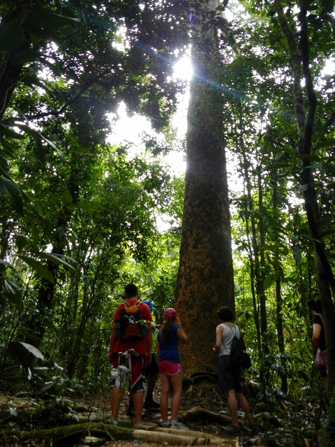
Kauri Pine
After that, we slowly wound our way back through the forest for some afternoon tea and a didgeridoo concert.

Can you hear the sounds of Kookaburras, Crcodiles and Kangaroos in his playing?

If you’re visiting Far North Queensland, Mossman Gorge is a “must-do” destination. If it’s your first time, make sure you book a tour so you can experience this wonderful culture first-hand.

Gold Creek

On Friday afternoon I was getting that familiar feeling of panic – I wanted to do a big ride, but didn’t know where to go. So I thought I’d be lazy and messaged my friend Darb “I don’t know where to ride tomorrow, have you got any ideas?”

“Somewhere cool!”, he replied.

“How about ….” I replied back detaiiling an wildly epic ride through D’Aguilar National Park taking in over 100km of tracks.

Rather than indulge my wild-eyed enthusiasm for such an ambitious ride on the first day of summer (the last few days have been very hot and very humid), Darb decided to give me a dose of common sense, and we eventually settled on a slightly shorter but just as tough ride to Gold Creek Reservoir.
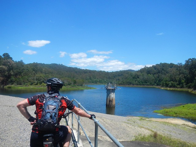
Gold Creek Reservoir

Gold Creek has an interesting history. It was an important boundary for the Turrbal aboriginal people. It marked the south-western edge of their country which stretched all the way from that point north-east to the North Pine River. Constance Campbell Petrie writes:

This tribe all spoke the same language, but, of course, was
divided up into different lots, who belonged some to North
Pine, some to Brisbane, and so on. These lots had their
own little boundaries. Though the land belonged to the whole
tribe, the head men often spoke of it as theirs. The tribe in
general owned the animals and birds on the ground, also roots
and nests, but certain men and women owned different
fruit or flower-trees and shrubs. For instance, a man could
own a bon-yi (Araucaria Bidwilli) tree, and a woman a minti
(Banksia amula), dulandella (Persoonia Sp.), midyim (Myrtus
tenuifolia), or dakkabin (Xanthorrhcea aborea) tree. Then
a man sometimes owned a portion of the river which was a
good fishing spot, and no one else could fish there without
his permission.
In 1846, Tom Petrie passed through this area as a 14 year old boy on his way from the penal colony at Brisbane to Wivenhoe Station in the Brisbane Valley. What a long way to walk!

In the 1860’s, a small amount of alluvial gold was discovered in the creek (which is how it got its name).

In the 1880’s, the growing town of Brisbane needed more water. While nearby Enoggera Reservoir was able to supply water to many parts of Brisbane, it wasn’t able to get water to many of the higher locations around Brisbane because it was too low – and without a pump water can’t run uphill. A dam was built on Gold Creek at a point about 100m above sea level. This was higher than most places in towm, and so a gravity-fed pipeline was able to supply the water needs of the more elevated homes in town, 20km away.
Gold Creek
Today Darb and I thought we’d set ourselves a challenge, and ride from home to Gold Creek and back. We rode through Bunyaville, and then up to the top of “Ironbark” in Samford Forest. From there we slowly ground our way to the summit of Camp Mountain (up the short side), then rode down (and up) Centre Road in D’Aguilar National Park. Eventually we followed Gold Creek Road off South Boundary Road, down to the reservoir.

The only problem was, as it was the first day of summer, I ran out of water by the time we got to the reservoir. I was carrying 3 litres on my back, and 800ml of sports drink on the bike, but that wasn’t enough in the hot humid weather. Thankfully we were able to fully top up at an old house with a water tank near the reservoir. Just to be on the safe side I dropped a couple of micropur water purifying tablets into the water. It was fine.
"Dive Bomb"
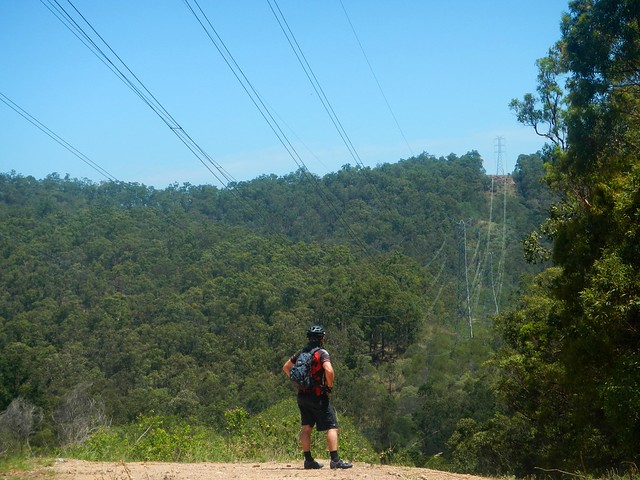
We slowly rode back up Gold Creek Road, down (and up) Centre Road, and back into the Camp Mountain part of the forest via Bellbird Grove. Darb showed me “Dive bomb” – a fun track which lets you zoom down some steep trails under the powerlines, shooting you out near Mount Nebo Road. Unfortunately we were going in the wrong direction and didn’t want to add yet another large climb into the trip, so we gave “Dive bomb” a miss today.

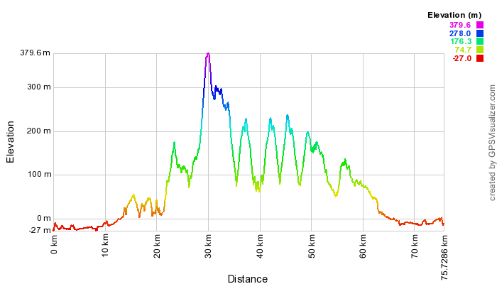
This ride had some long steep climbs, and by the end of it, we’d slogged out over 1,850m of vertical ascent. During the 76km ride I burned about 4,500 kcal. We took about seven and a half hours including breaks. On a hot day like today, I’m rating this one 9.5 out of 10 on the tough-o-meter. Consider topping up on water at the half way point, and you need lots (and lots) of energy snacks, plus copious quantities of sun-screen.

Total distance: 75.99 km
Total climbing: 1966 m
Average temperature: NAN
Total time: 07:34:35
Download file: activity_248140195.gpx
More data

Daintree National Park

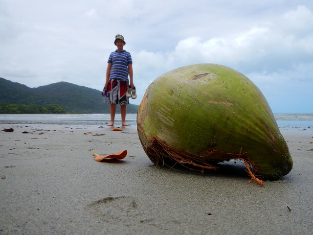
Coconut, Cape Tribulation

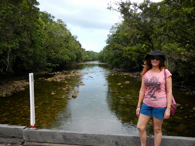
Daintree National Park is a special place. I could tell you lots of facts about it, and show you lots of pictures, but none of that would convey the wonder of the place and its stunning beauty.

I have no doubt why this place is sacred to the Kuku Yulanji Aboriginal People. Their traditional country stretches from Mossman in the south almost as far as Cooktown in the north and as far west as Chillagoe on the other side of the Great Dividing Range on Cape York.

The rainforest in this part of the world is over 100 million years old, making it the oldest rainforest on our planet. It survived this long because while other continents were slowly drifting around the planet from hotter to cooler climates (or vice versa), the wet tropics of North Queensland stayed reasonably close to the same latitude for most of that time, with a fairly consistent climate. This meant that species of plants and animals that died out in other parts of the world, stayed alive here. This extensive biodiversity is what sets the Daintree Rainforest apart from almost any other place on earth.
Ferry, Daintree River

It’s difficult to get to the Daintree. For starters, it’s over 1,500 km North-West of Brisbane. And you can’t easily drive there because there’s no bridge over the crocodile infested Daintree River. You have to catch a ferry. Thankfully, the ferry leaves every 10 to 15 minutes. But the roads are steep and twisty, so it’s a slow drive. You’ll have to take your time.

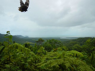
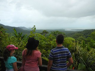
Alexandra Lookout, Daintree NPAlexandra Lookout, Daintree NP
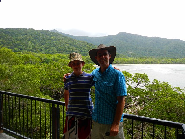
Our first stop after climbing the range was Alexandra Lookout. This gives great views to the east over the forest allowing you to see where the Daintree River meets the sea. It’s also a good place to get photos of butterflies trying to get their face on a photo 🙂

Noah Creek, Daintree NP
From there we drove north, past a tea plantation and over numerous speed bumps (to stop you hitting cassowaries) to Noah Creek. The bridge is narrow, so there’s no room for pedestrians. To get a picture of the babbling creek we had to park the car, run quickly onto the bridge, take the photo, then get back off the bridge before the next car came round the corner. I think we managed it with a few seconds to spare.

Cape Tribulation
Cape Tribulation
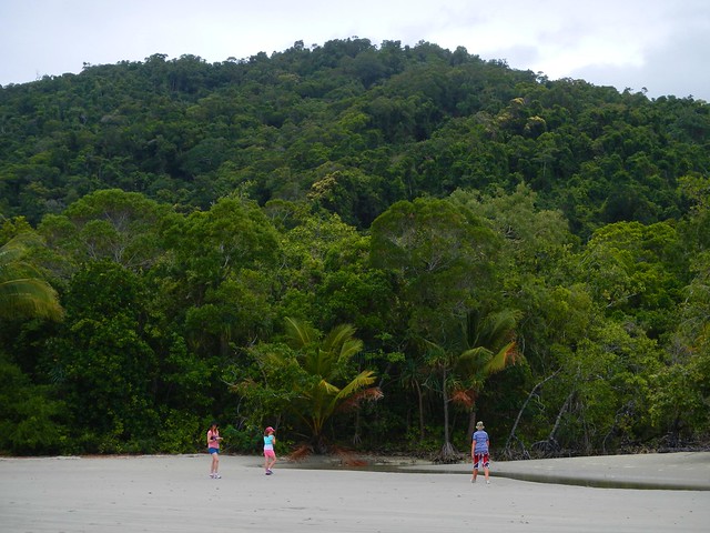
Cape Tribulation was the furthest north we could go in the hire car. After this, the bitumen stops, and the road turns into a 4wd track. At Cape Trib the rainforest reaches down from the mountains right to the edge of the beach. What a beautiful place!
Cape Tribulation
Cape Tribulation
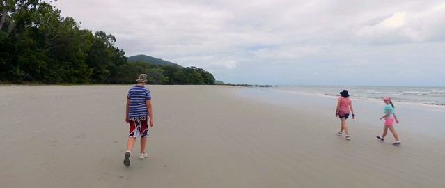
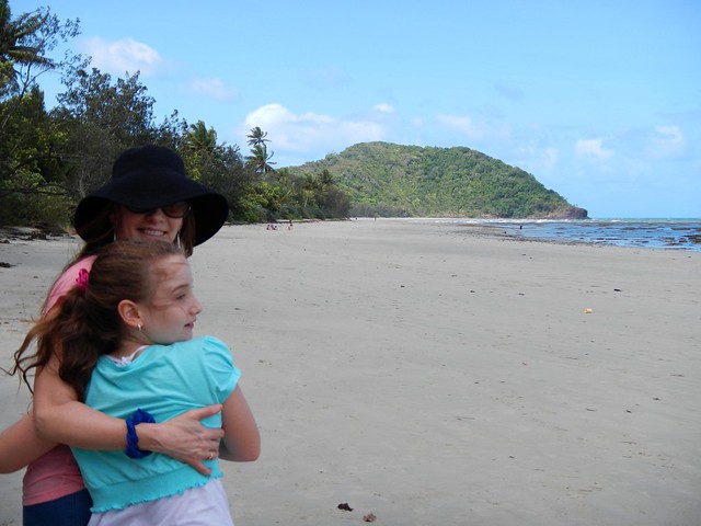
We decided to go for a wander up the beach to see what we could find. I don’t think we were looking for anything in particular. We just wanted to soak it all up.
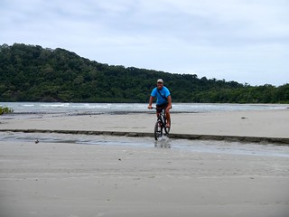
Mountainbiking at Cape Tribulation Mountainbiking at Cape Tribulation
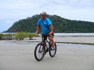
This mountain biker had the right idea. A simple single-speed rig with no suspension, nice fat tyres and “low tech” rubber footwear. Just the trick for riding on the beach.

Dubuji Boardwalk
Dubuji is a Boardwalk through the forest that gives you an idea of the biodiversity of the area. I was amazed to look down from the walk into shallow creeks and see numerous fish over 30cm (1 foot) long, just quietly sitting the shallows.

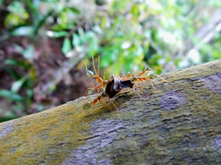
Green Ant, Daintree NPSpider, Dubuji Boardwalk
The colors and variety of the wildlife were stunning…
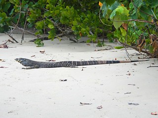
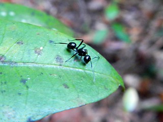
Goanna, Cape TribulationBlack Ant, Dubuji Boardwalk
It didn’t matter where we looked – the place was teeming with life…

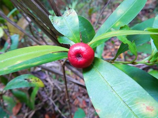
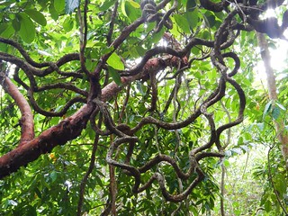
Wild Fruit, Cape TribulationRainforest Vine, Dubuji Boardwalk
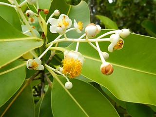
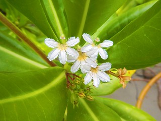
Wildflowers, Dubuji BoardwalkWildflowers, Dubuji Boardwalk

The rainforest here grows on the sand, which is extremely rare. The Kuku Yalanji people named this place “Dubuji” which means “Place of spirits”. They have stories about many specific places only several metres from the boardwalk.

Cow Bay, Daintree NP
Cape Tribulation
As we slowly made our way back south towards our starting point we stopped at a few different places along the way to have a look around.

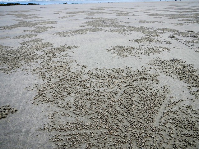
Crab "Dot Art", Cape Tribulation
It looked to me like the crabs were making Aboriginal “Dot Art”.

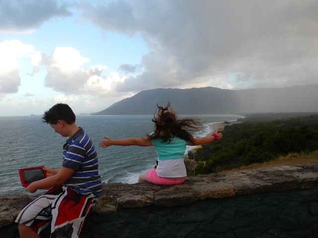
Kulki Lookout, Cape Tribulation
I’m so glad we were able to experience this stunning place. I’d love to go back sometime. Who knows? Perhaps I’ll bring a bike next time 🙂

Rex Lookout

Goomburra

"The Amphitheatre"
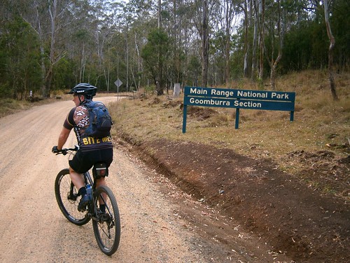
Goomburra is part of the “Main Range National Park” on the Great Dividing Range in South East Queensland. The Goomburra section of the park is located north of Cunninghams Gap either side of Dalrymple Creek. It’s named after the Gooneburra aboriginal people. In the Keinjan language, “Gooneburra” means “Fire people” from the tribe’s habit of setting fire to grasslands as a means of managing the land. Professor Maurice French, at the University of Southern Queensland, says that they numbered perhaps 1500 to 2000 people.

Dalrymple Creek is named after Ernest Dalryple, a European squatter, who arrived in the area in 1841 to take up a “selection” on what the settlers called “Goomburra Run”.
GoomburraFig Tree - Main Range National Park
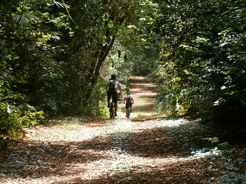
Eric, Tony and I started our ride from “Gordon Country” in the valley along Dalrymple Creek, and then slowly wound our way up the long slow climb into the rainforest. It took about an hour to reach the top, and I was glad to finally get there.
Mount Castle Lookout, Goomburra
The views from Mount Castle Lookout were amazing. Mount Castle and the surrounding peaks of the Liverpool Range form a sharp ridgeline extending from the Main Range north-eastwards towards Laidley. I was impressed by the cliffs and the views off in the distant east of the Teviot Range and Lamington Plateau.
"The Winder"
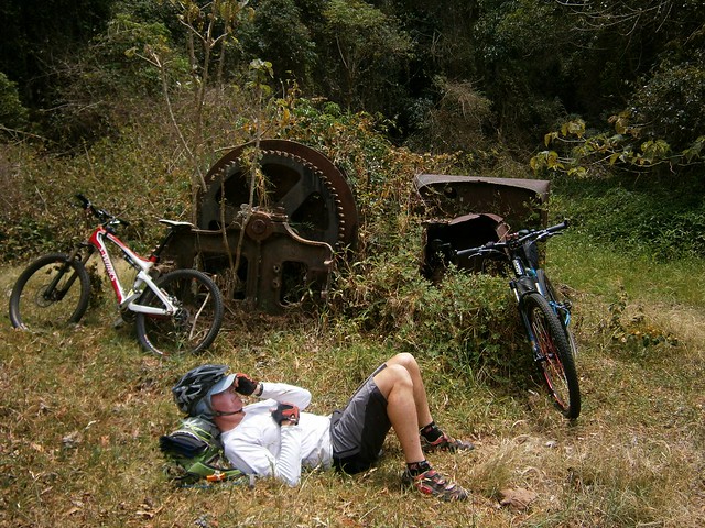
At Mount Castle Lookout, the Great Dividing Range splits in two branches. The main range heads off to the west while “The Mistake Mountains” go off to the north. They were called this because in the early days, people mistook them for the main range. We rode north over The Mistake Mountains to “The Winder”. Years ago, loggers converted an old truck into a winch to haul up the large logs from the steep slopes of these mountains. The loggers have gone, and all that is left of the “Winder” are these rusty ruins.

Eric took what he called a “Micro nap”. He’s a lot faster on the bike than I am, so I suppose he decided to make the most of the time that he spent waiting for me to catch up 🙂
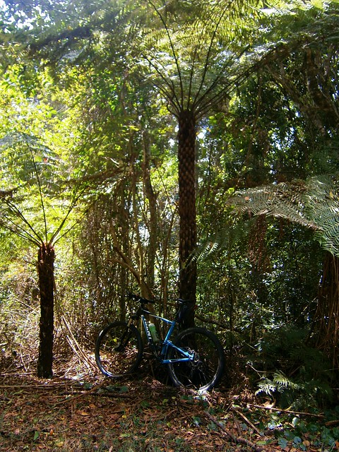
Tree Fern - Main Range National Park
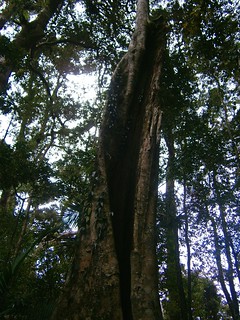
The ridge line along the Mistake Mountains is covered in rainforest. These Giant Tree Ferns (Cyathea australis) were all over the place. I’ve read somewhere that they can group up to 20 metres in height. This one made my bike look like a toy.

Fire Management Trail
Once we’d finished at the Winder, we had to climb back the way we had come regaining 250 metres in altitude, back to the junction with the Main Range. We then continued our journey westwards along the Main Range.
Glen Rock National Park
Glen Rock National ParkGlen Rock National Park
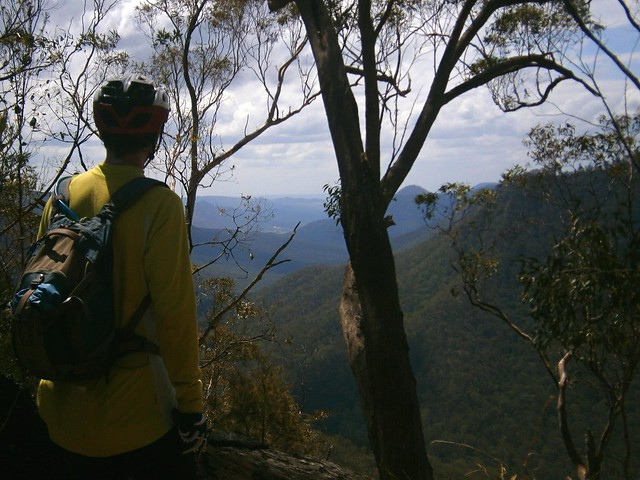
The views along the track were spectacular. Every few minutes we stopped to catch glimpses of the valley through the trees as we looked down into “Glen Rock” park below.
Enjoying the view
As we rode further along the track, the slopes on either side became progressively steeper. Eventually, it felt like we were riding on the top of a razor blade. On our left, steep slopes dropped down to Dalrymple creek to the south. On our right, sheer cliffs dropped down to Glen Rock Park to the north. The track was wide, and safe, but it meant we had some amazing views.
"The Amphitheatre"
I couldn’t belive the beauty of the landscape we were looking at.
Glen Rock National Park
As I looked down into the valley in Glen Rock National Park, I thought that perhaps we should come back to this place in the not too distant future and do a bit more exploring. There is some stunning country in South-East Queensland. With a reasonable amount of fitness, and a decent mountain bike, a whole new world opens up to explore. More than enough for one life time. In the last three yeas I’ve seen more natural beauty in thiis part of the world by riding my bike than at any other time in my life.

From our mountain-top high we rolled back down the mountain to “Gordon Country” 4wd park. There are a number of tracks down the mountain – some precariously steep, some rather gentle. By luck we managed to pick a quick but safe descent which had us back at the car in about 10 minutes.

All up we cycled 37km in about 5 hours including stops, climbing a total of 1,400m in vertical ascent. I burned about 4,000 kcal. This is probably the toughest sub 40km ride I’ve done. We had to push the bikes up a couple of hills, and had to work hard on some of the longer climbs.

I rate this one 9 out of 10 on the tough-o-meter. You won’t need more than intermediate mountain biking skills – the tracks aren’t too technical except for one or two steep descents. But you’ll need moderate to high fitness, plenty of water and snacks. Make sure you take a camera 🙂

Total distance: 38.6 km
Total climbing: 1451 m
Average temperature: NAN
Total time: 05:06:54
Download file: activity_239597461.gpx
More data

Condamine Gorge

Condamine Gorge
“The Head” is a spectacular spot up in the Great Dividing Range of South East Queensland, near the border. It gets that name from the fact that it forms the headwaters of the Condamine River and the Murrary Darling Basin. Starting as a trickle on the slopes of Mount Superbus, it flows through Condamine Gorge joinng up with the Balonne River, the Darling River and eventually the Murray River before draining into the Great Australian Bight near Adelaide in South Australia.

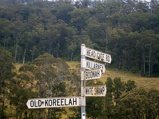
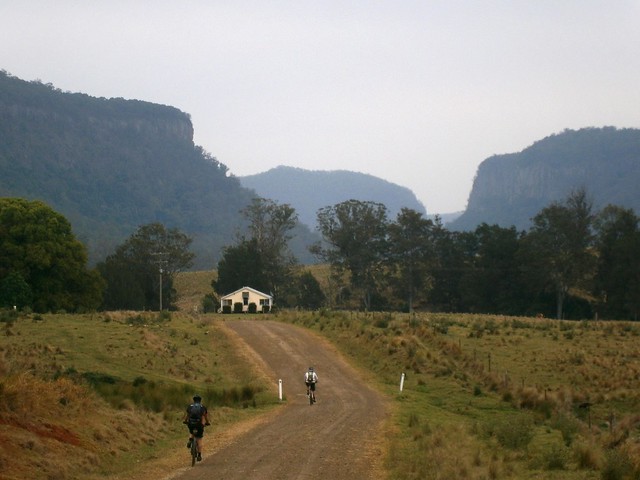
Today we were lucky enough to ride through some of this beautiful country in a loop from the small town of Legume, in Northern NSW up into Acacia Plateau, then along the Border Fence to “Head Gate” and back to our starting point via Condamine Gorge (also known as Cambanoora Gorge).

The traditional Aboriginal owners of this area are the Githubal, Kambuwal and Jocumwal people.
Acacia Plateau
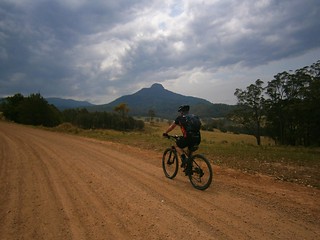
For the first hour of our journey we took a long slow climb up onto Acacia Plateau, while we battled swarms of flies. Thankfully Eric had the foresight to pack some insect repellant which kept the pesky insects away from our faces, allowing us to enjoy to majestic open blue-gum forest.
The Border Track
The Border TrackThe Border Track
The rocky road eventually rises up to the “Border Track” following the rabbit-proof fence along the border between Queensland and New South Wales. At an altitude of over 1,000 meters, this section has thick rainforest on the NSW side of the fence and open farmland on the Qld side. I’ve seen similar scenarios at other places along the border (such as The Border Ranges) and it makes me wonder about the relative priorities of both states in their early years, and the importance of land-clearing to Queensland in the 19th and early 20th centuries.
Trough Creek
From the border track we dropped about 600 metres in altitude in the space of 8km. I don’t have any pictures of it since I was clinging on to my handlebars for dear life while I bounced down a rocky track, dodging stray logs and precarious ruts. The Trough Creek descent is a mountain bikers delight, but it’s rough. You need good suspension, and a reliable wheel / tyre combination. I suspect riding this on a cheap bike would result in pinch-flats and crashes.
I got to the bottom yelling out “Wow, that was awesome!”
Koreelah Creek
Koreelah Creek
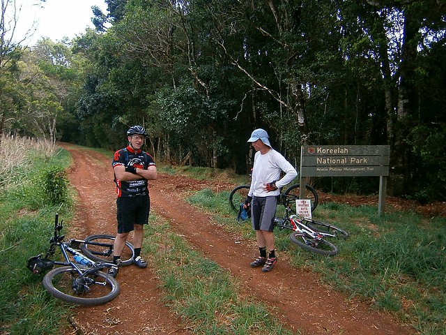
A few minutes later, after bouncing down some more rocky roads, we eventually reached the rock pools at Koreelah Creek, where we stopped for lunch.
White SwampWhite Swamp
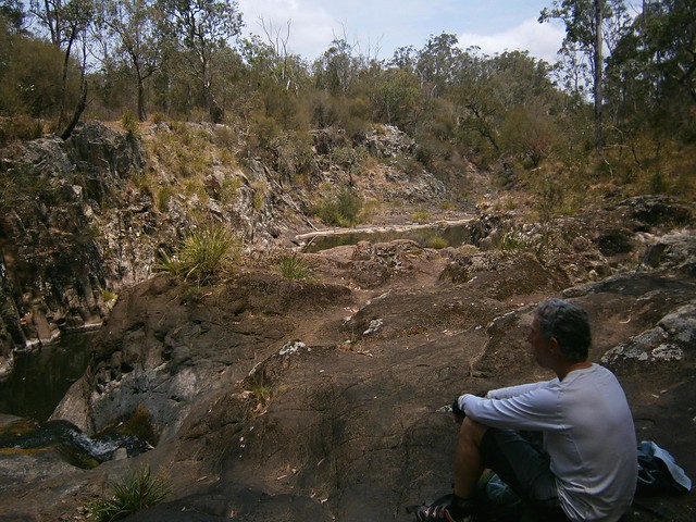
“White Swamp” marked the lowest elevation point of the ride. From here we faced another long slow climb up to “Head Gate” – the Qld / NSW border crossing.
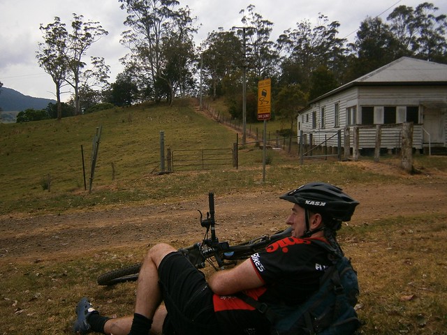
Head Gate
Rabbit Fence
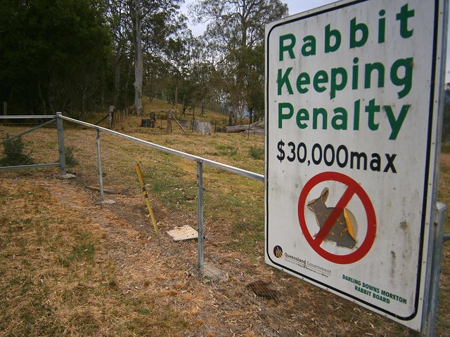
“Head Gate” is a secluded border crossing in the middle of nowhere. It boasts a dilapidaed house, and a shed. If you stand in NSW and look north to Qld, a huge sign tells you how un-welcome rabbits are. In fact, if you try to keep rabbits in Qld, you’re liable for a $30,000 fine. If you stand in Qld and look south, you’ll see a similar huge sign wich tells you you’re not allowed to take livestock into the state along that road.

For us it was a welcome place for a short break. It was also a reminder that we had stopped our long climb and could look forward to some more descending.

Condamine Gorge
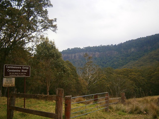
As we rode along Condamine River Road, we enjoyed some amazing views of the Gorge.
Condamine Gorge
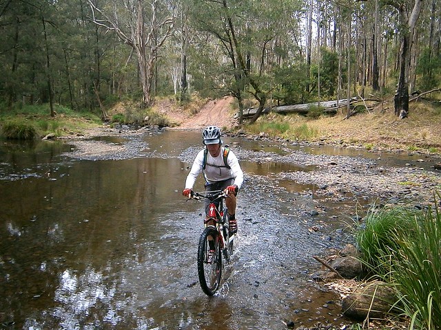
Like the sign says, if you go along Condamine River Road you need to be prepared to cross the river 14 times. And they’re not just shallow little crossings, they’re deep, and you’re definitely going to get wet.
River Crossing Condamine Gorge
We rode through several crossings. Eric showed us how it was done. We waded through the rest of the crossings, carrying our bikes. Normally I hate getting my feet wet. On this trip, I just accepted the fact that it was going to happen, and didn’t worry about it. I actually discovered that it’s not that bad riding in wet feet – provided it happens towards the END of the journey and not the start 🙂
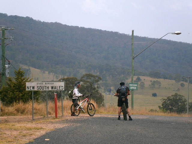
Crossing the Border
Once we got to the end of Condamine River Road, we headed south along the bitumen, across the border again, and back to our starting point at Legume.
Queen Mary Falls
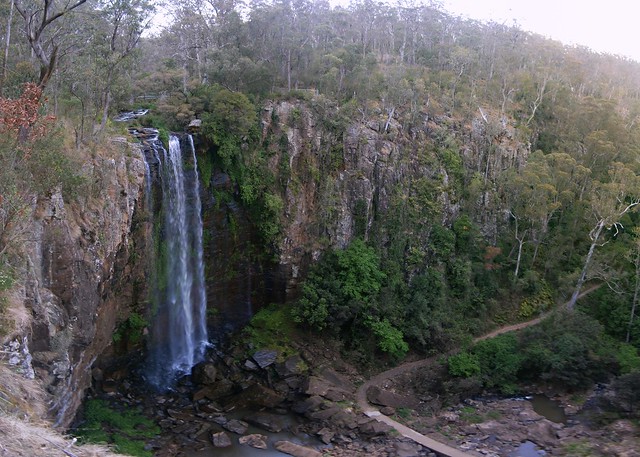
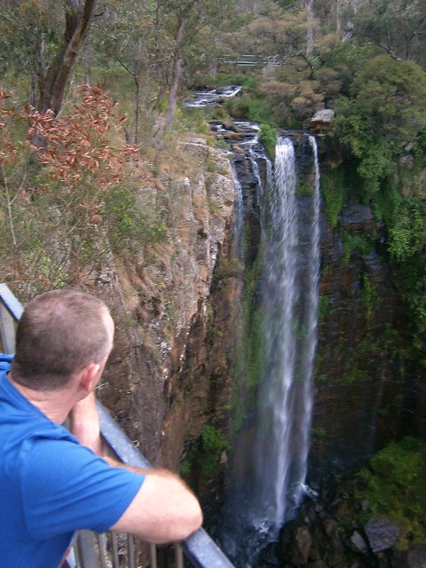
Queen Mary FallsQueen Mary Falls Lookout

Our route took us in a big circle, in the middle of which was Queen Mary Falls. Since we didn’t actually ride to that point, we decided to drop by in the car on the way home. The falls are only a five minute walk from the car park on Spring Creek Road, so it was worth the detour.
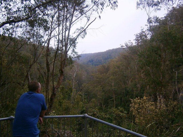
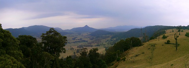
Carrs Lookout, "The Head"
We also stopped at Carrs Lookout where we were gobsmacked by the views of Mount Superbus and Wilsons Peak.

What a stunning way to finish the day.

All up we rode about 64km in 6 hours including breaks. We ascended 1,450m and I burned 3,700 kcal. The ride has two tough climbs, one sketchy descent and numerous river crossings. It also involves a three-hour each way drive from Brisbane. I’m giving it 9 out of 10 on the tough-o-meter. You need medium to high fitness, medium skills, a good bike, and some good riding buddies. Be careful after rain as the river crossings may be impossible to ford – which means a long detour. Take lots of water in Summer – it is hot work. Take lots of snacks.

Total distance: 64.6 km
Total climbing: 1518 m
Average temperature:
Total time: 05:51:20
Download file: activity_237394912.gpx
More data