

A railway branch line once connected Caboolture to Kilcoy. The railway has gone, but the trail remains. Today we explored some sections of that line.

We started outside Tullawong High School, on the outskirts of Caboolture.

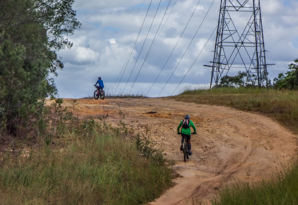
The broad railway easement led west.

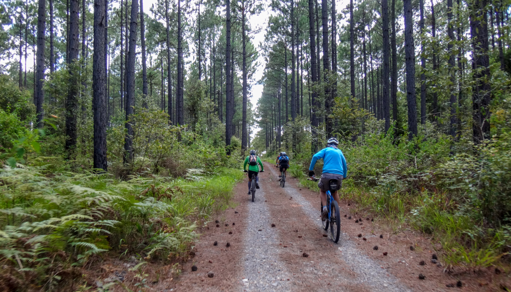
We rolled easily for the first few kilometres, on a freshly mown gravel track, past pines and eucalypts.
After about twenty minutes the gravel gave way to a smooth tarmac.
Compared with some of our more strenuous rides of the past few weeks, this was effortless.

Some old railway tracks remain on the outskirts of Wamuran, a reminder of old trains that once trundled through town.
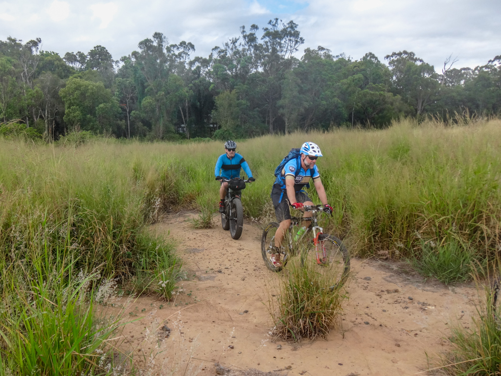
We left the railway at this point and followed some “Trail” signs through some fukawi grass.
We couldn’t see the path in front, so crashed through hopefully until we found some clear ground.

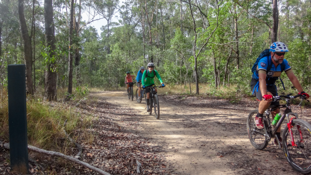
From there we rode past a few farms, along quiet paved roads until we reached the state forest.
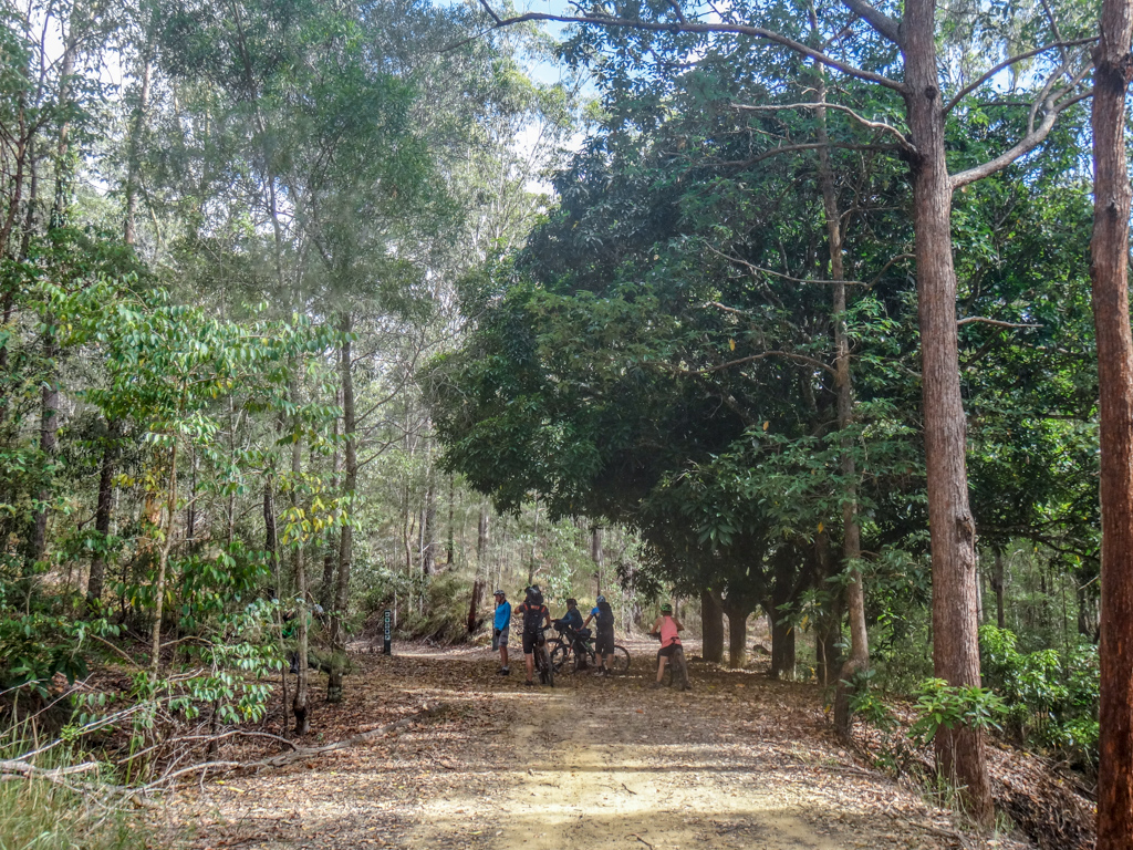
After a few more kilometres, we rejoined the railway line at the “Mango Tree” trail-head.
Tracks go off in all directions from here.
We rested in the shade of the huge mango tree, and wondered what it would have been like here when trails used to chug by, and who planted the mango tree.
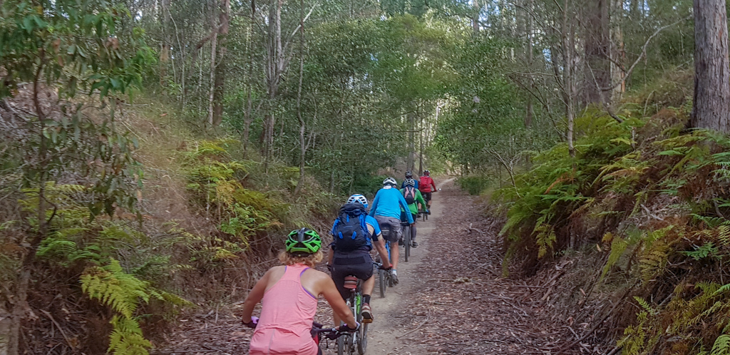
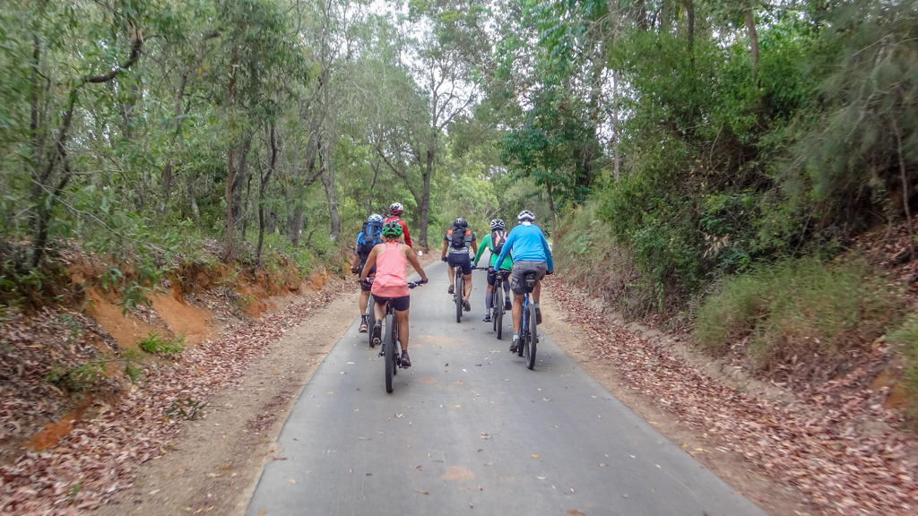
Fern clad cuttings rose either side of us as our “train” pedaled westward through the forest.
“Ahhhh this is nice!” I said out loud to no one in particular.

At the end of the trail we chatted with a friendly horse taking her human for a ride through the forest.
“She’s a well-behaved human,” the horse told us, “but she needs to be exercised regularly or she gets grumpy.”
Just like most humans, I thought to myself.

At this point we left the railway line for a second time, and pointed our bikes north towards the unusual peaks of the Glasshouse Mountains.
I last visited this section with Simon about ten years ago before it had been harvested.. The forest had changed a lot since then.
From wide open hill sides to tall shady forests, the diverse landscape seemed to change every few minutes.
Even though it’s unpaved, the main road between Beerburrum and Woodford is busy with 4WD’s and motorbikes. We avoided this section in favour of quieter tracks.


Perfect!
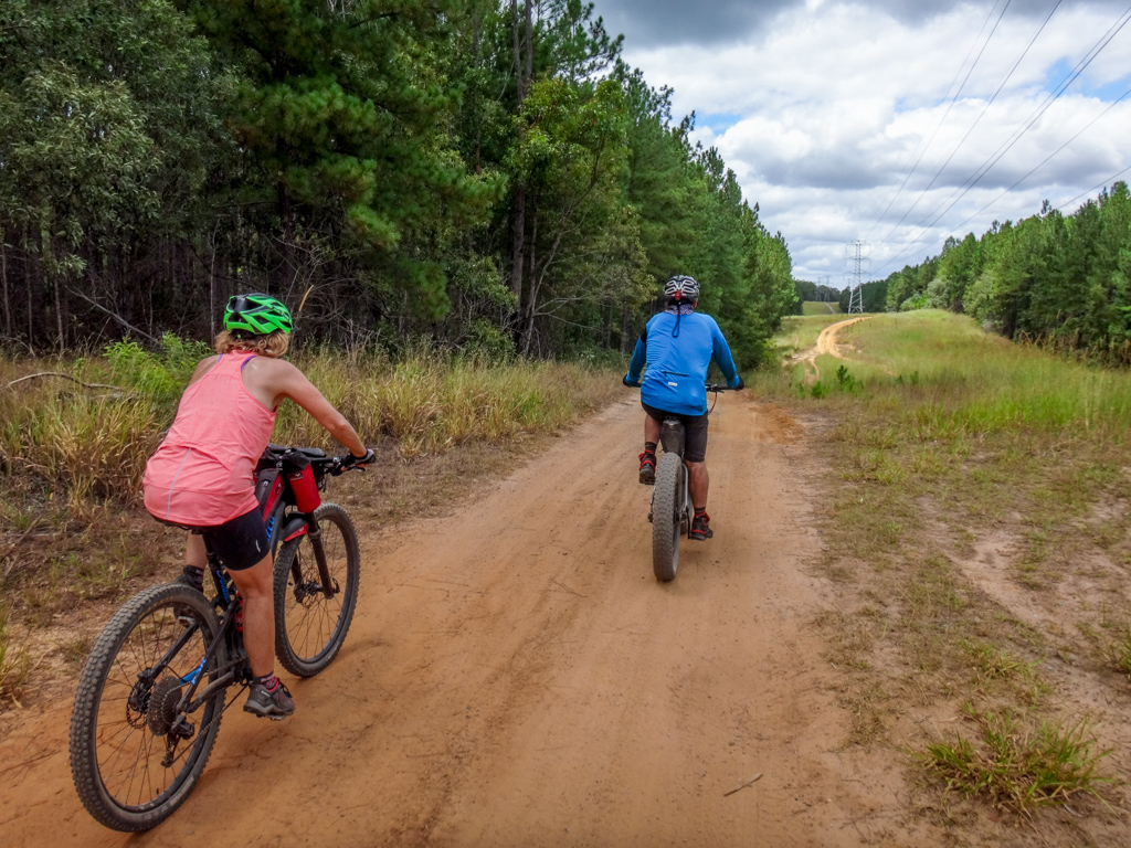
A smooth red trail snaked through thick forest.

We’ve ridden through the Glasshouse Mountains many times, but each time we visit we manage to find new tracks.

It’s a wonderful place.

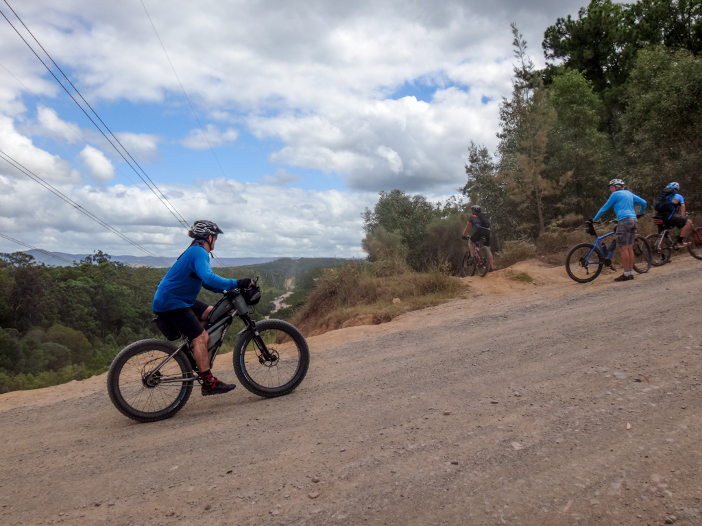
We stopped at the lookout for a while to enjoy the view.

Strange plugs of volcanic rock poked out of the ground like giant dream-time titans.
For thousands of years they have inspired the Gubbi Gubbi / Kabi people, who tell powerful stories about them.

We left the lookout and bounced down a steep downhill track.
In the past we’ve usually pushed up this hill.
It was much nicer to roll down it – although some sections were tricky.

Everyone reached the bottom with a manic grin.
“That was a lot of fun!”
“Did you ride it all?”
“Yeah – but that log rollover was tricky, wasn’t it?”
At the bottom of the hill we turned right into Old Gympie “Road”.
It’s an old road, once an ancient pathway used by indigenous people as they traversed their land.
In the 1860’s, prospective fortune seekers used it as a route to the new gold fields at Gympie.
After that, until the advent of the main coast road, it was a rough track which provided adventurous drivers a rough way to get to the sunshine coast.
We followed it south, as we made our way back towards our starting point.

A network of quiet back roads and tracks made it easy for us to get back to Caboolture without having to compete with busy motor vehicles.
Total climbing: 952 m
Average temperature: 28.9
Total time: 04:52:24
More Info
We rode just over fifty-five kilometres in about five hours.
During that time we climbed about 940 metres in elevation and I burned about about 2,500 kcal.
This is an easy ride, on gentle terrain, except for one tricky descent which is walkable if you need to.
I’ll rate this ride 6 out of 10 on the tough-o-meter.
Thanks Darb, Calum, Kaye, Jason, Paul G and Paul H for a fun day out.
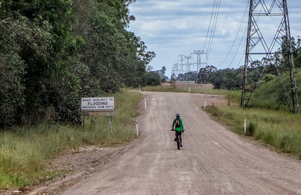


This was a fantastic ride…but tough! It looks like a lot of trees have fallen over the paths around Beerburrum in the last few years and not been cleared. In some places it looks deliberate too, maybe as a deterrent to trail bikes? The recent rains meant a lot of waterlogged trails too, but that’s all part of the fun.
The Wamuran Rail Trail is sealed all the way now which makes it super easy, Moodlu has developed a bit too, we had to find our way around the new houses there. Lauren and I had such a great day out, thanks so much for sharing these rides